


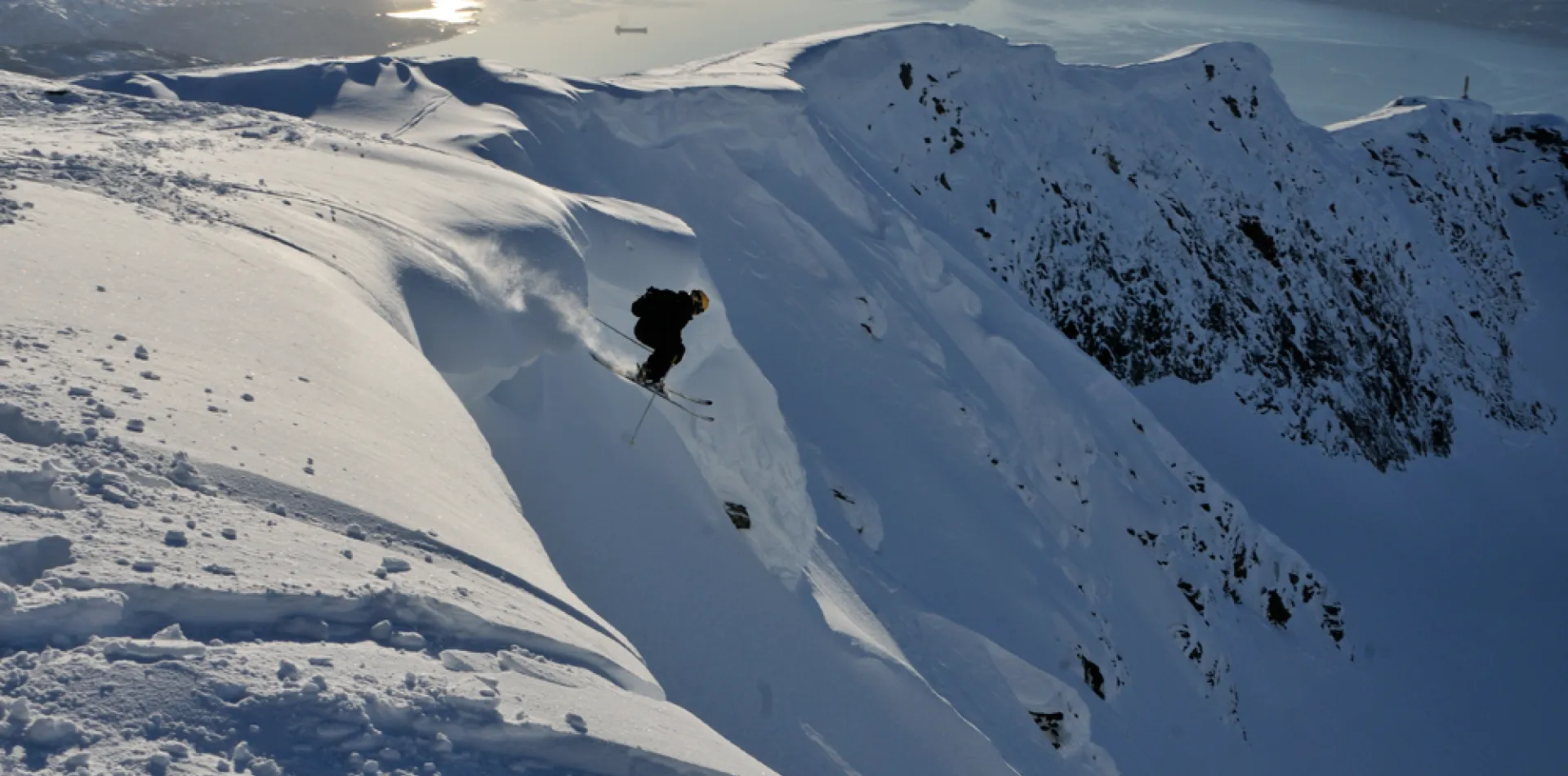
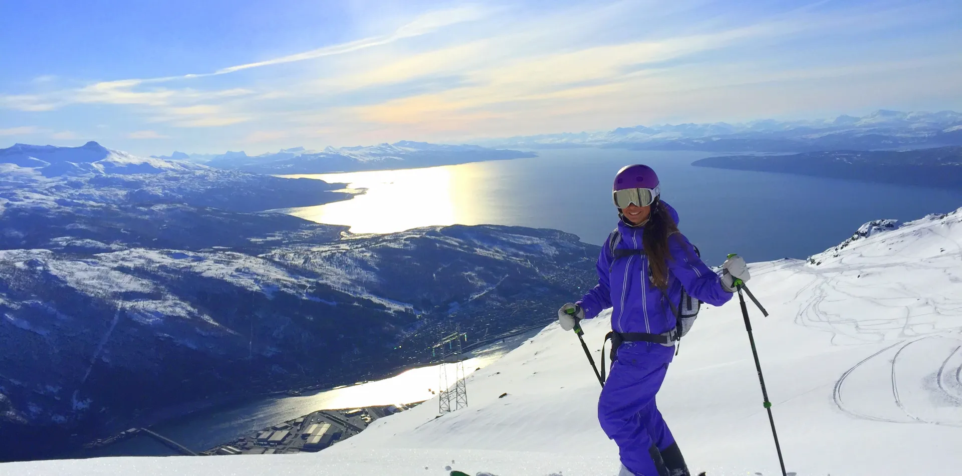
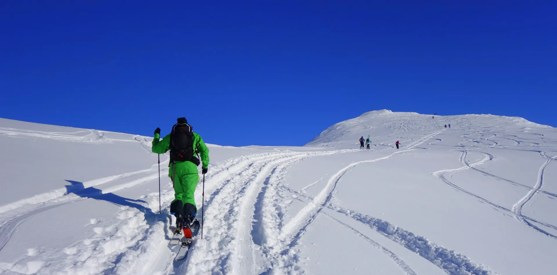
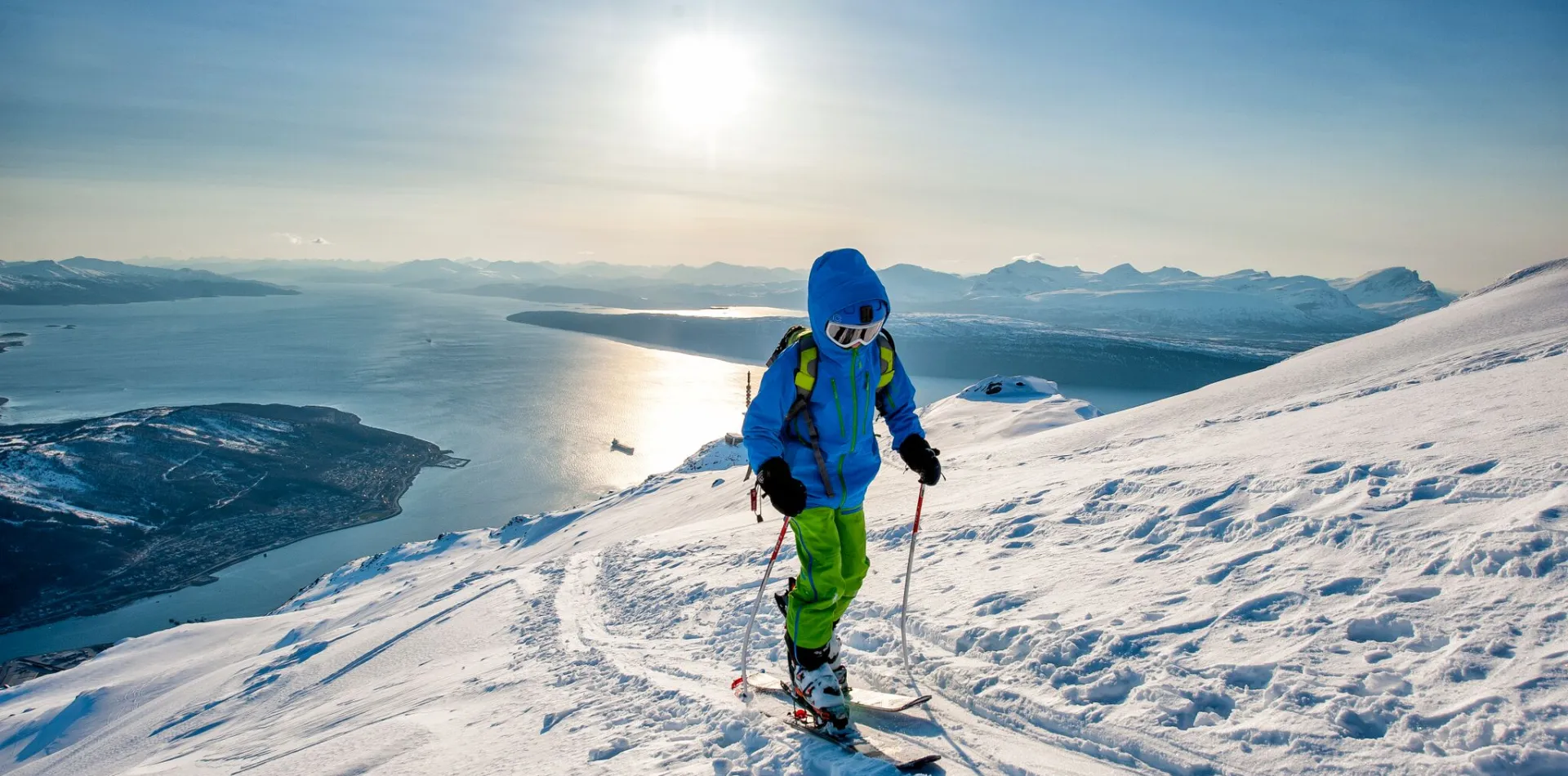
If you plan to travel here to explore our mountains, it is extremely imporatant to gather information about weather and snow conditions.
We have gathered a handful of tools you can use to update yourselves on what the conditons are like in the Narvikregion
Respect the mountains
No matter what shape or size they have, the dangers of exploring the mountains can never be underestimated.
It is important for us that all visitors can easily update themselves on what the conditions are like, so that we can avoid future accidents and loss of lives.
Varsom
Varsom.no is a service that is delivered by Norwegian Water Resources and Energy Directorate (NVE), in cooperation with Norwegian Public Roads Administration (SVV) and the Norwegian Meteorological Institute (MET).
The website is available in both Norwegian and English, and uses the international avalanche danger scale. The bulletins and forecasts are published according to international standards.
Remember that the snow conditions and terrain will most likely be different from what you are used to.
Xgeo
Xgeo.no is an expert tool used for preparedness, monitoring and forecasting of floods, landslides and avalanches. With maps and time base compiled data from stations and models with events and field observations.
You can get a lot of useful information from this tool, like steepness maps, danger level, wind direction, wind speed and much more.
It is also possible to get very useful information about the snow cover and terrain conditions.
Yr
Yr.no has since 2007 offered weather forecasts for around 1 million locations in Norway, and 10 million worldwide. You can use the updated weather forecast as a supplement to the information on varsom and xgeo.