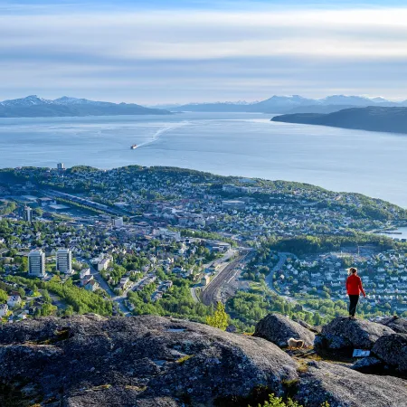
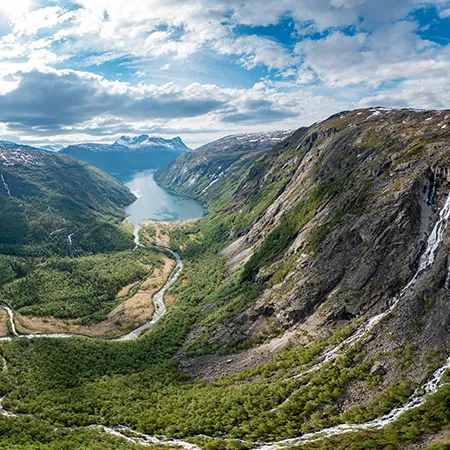
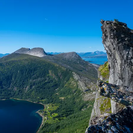
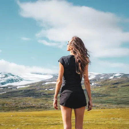
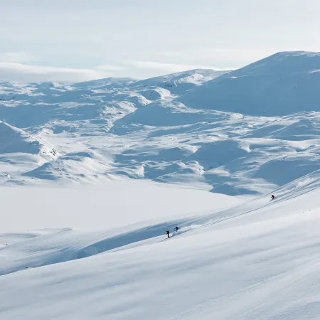
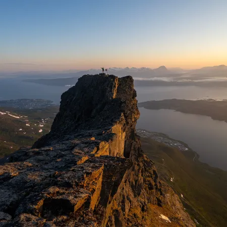
Conquer the Trails

Experience the spectacular nature by foot.

Go on small accessible excursions or aim for the highest peaks. Beautiful mountain flower meadows that extend beyond, sunsets you can dream yourself into and mountain peaks with a view as far as the eye can see. Get ready to be inspired and have fun picking out which ones you would like to do!

Grading of trails

To ensure that hikers and walkes know what to expect and to help people find the hikes and walks best suited for their ability, Norway uses a shared standard for grading marked paths and trails. The grading system is based on four difficulty leves, used both in Norway and internationally: green, blue, red and black. The trail grading colours and the difficulty level they represent in Norway are described below.

Skills requriements:

  • Suitable for beginners
  • No special skills required.
  • Routes suitable for wheelchair / pushchair /stroller users are marked with a special symbol.

Elevation gain and length*

  • < 300 m
  • < 5 km

Type of path

  • Tarmac, gravel, forest roads and good quality paths.
  • Prepared paths and tracks enabling good accessibility.
  • Mostly shorter routes
  • Firm, even surface with no signifcant obstacles or stream crossings

Degree of elevation/ exposure

  • Moderate ascents, but no steep or difficult sections.

Skills requirement:

  • Suitable for people with some experience walking in terrain
  • Average fitness level
  • Basic outdoor skills

Elevation gain and length*

  • < 600 m
  • < 10km

Type of path

  • Similar to green trails, but may have some more challenging sections
  • Possibility of easy stream crossings

Degree of elevation / exposure

  • Mostly moderate ascents with some steeper sections
  • Some sections may be challenging for people with fear of heights

Skills requirements:

  • Suitable for experienced hikers
  • People with reasonable stamina
  • Good equipment and suitable footwear required
  • Navigation skills necessary.

Elevation gain and length*

  • < 1000 m
  • < 20 km

Type of path

  • Narrow paths, rocky and/or open (mountain) terrain'
  • Steep slopes and longer sections with loose rock or marsh possible
  • Potential for stream crossings

Degree of elevation / exposure

  • Varying degrees of ascent
  • Some exposed sections
  • Potentially technically demanding sections requiring scrambling and use of hands for support

Skills requirements:

  • Suitable for experienced mountain hikers
  • Some endurance required
  • Good equipment and suitable footwear required
  • Navigation skills necessary.

Elevation gain and length*

  • No maximum ascent or distance

Type of path

  • Longer, more technical trips than ‘red’ routes
  • Demanding stream / river crossings possible

Degree of elevation / exposure

  • Typically summit hikes with steep ascents on uneven ground
  • Can have exposed sections requiring scrambling
  • Narrow ridges, bare rock, scree etc.

Other Activities