


Rombakstøtta
Highlights
- Experience one of the Narvik area's most famous and demanding mountain hikes
- Follow the route through Tøttadalen, past Førstevann, Forsnesvannet and Isvannet
- See magnificent views of Narvik, Straumsnes, and the Rombaksfjord
- Explore varied terrain with gravel roads, paths, scree, boulder fields and scrambling
- Take the trip to a mountain that is clearly visible from large parts of Narvik city
Description
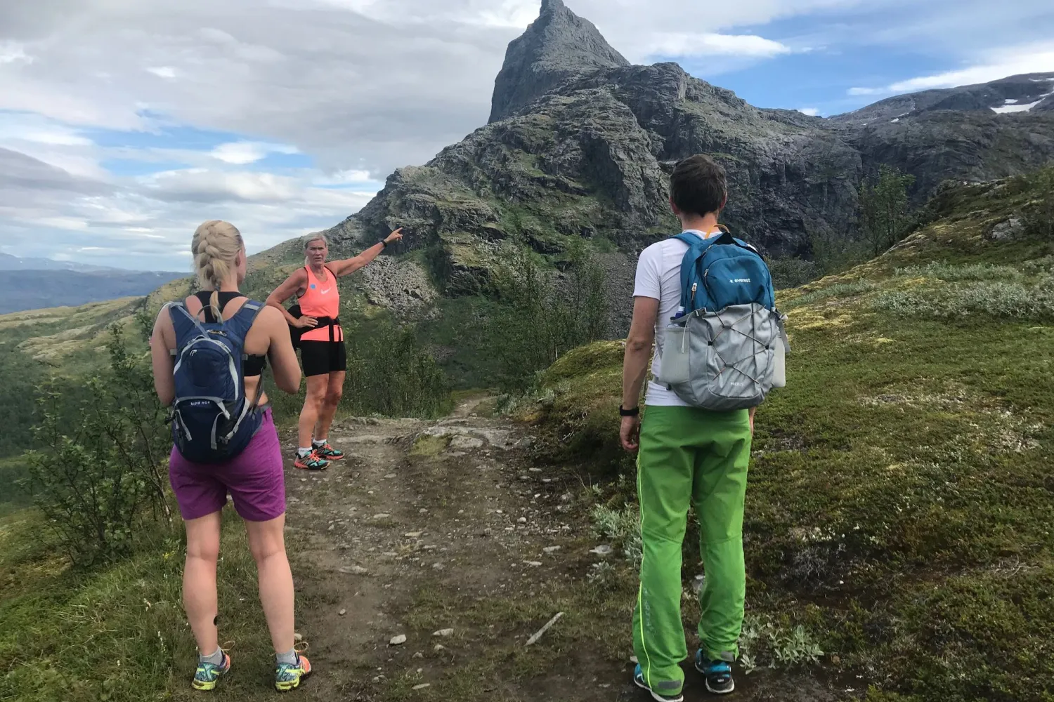
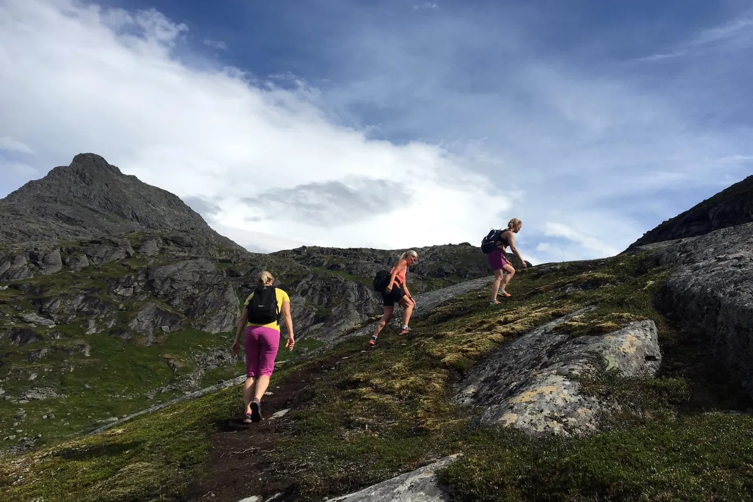
Rombakstøtta rises clearly above Narvik and is a mountain many people notice long before they go there. From the city, the summit can look steep and inaccessible, and the trip provides a raw transition from an outdoor area close to the city to demanding mountain terrain.
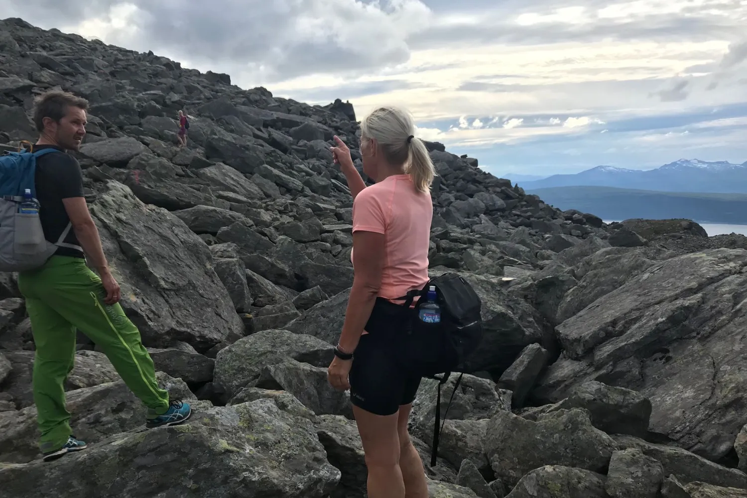
The trip starts at the Mini Power Plant at the start of Tøttadalen, a widely used nature area for families, hikers and summit hikers. The first part goes on a good path and road into Tøttadalen, past Førstevann and on towards Forsnesvannet. Gradually, the terrain becomes heavier, with a steady climb, rocks, larger boulders and rougher ground up towards Isvannet.
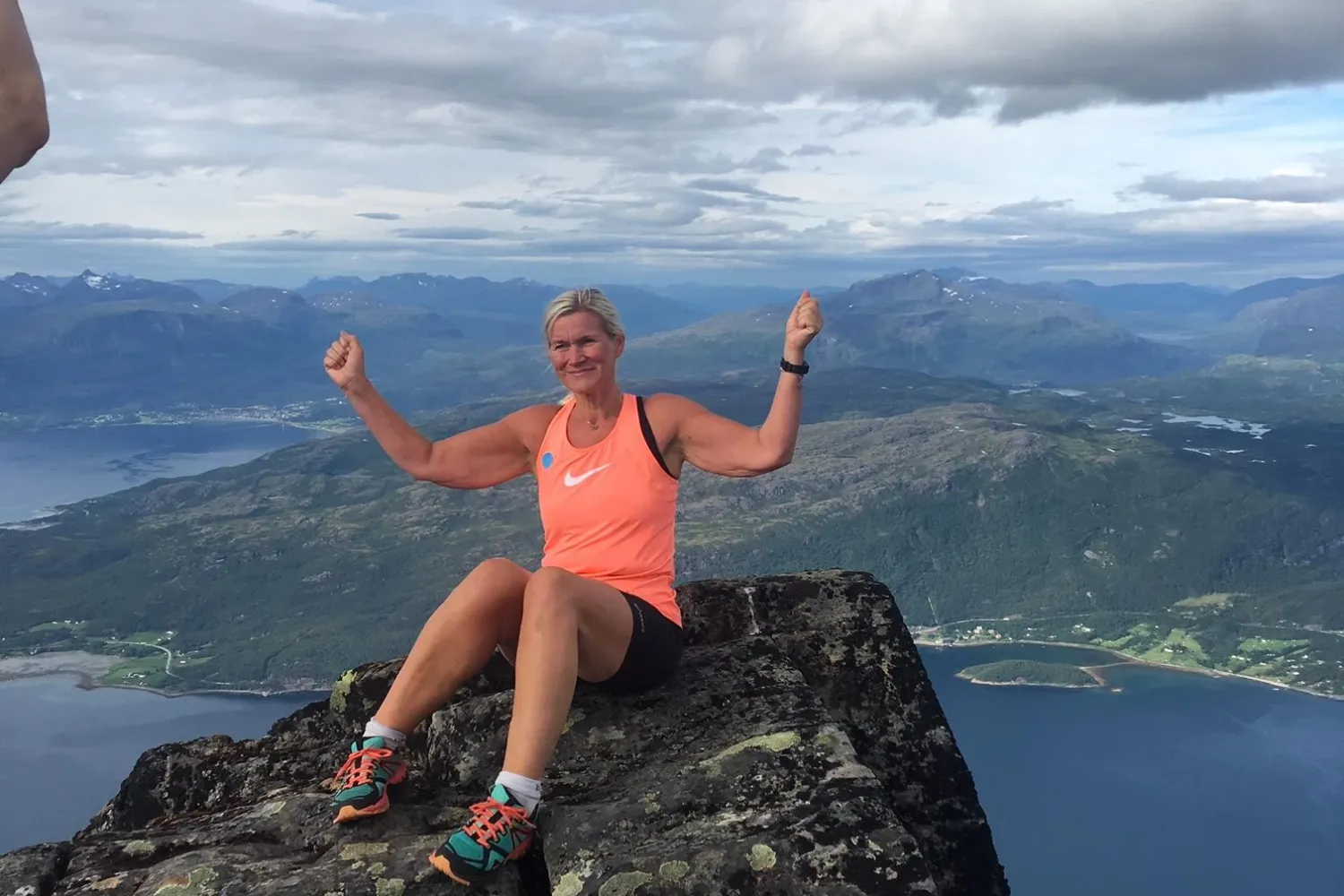
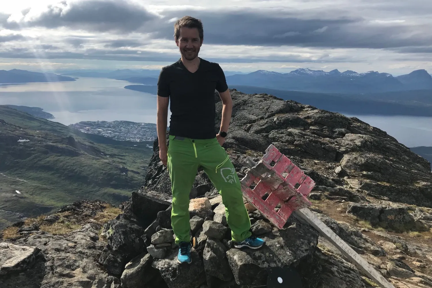
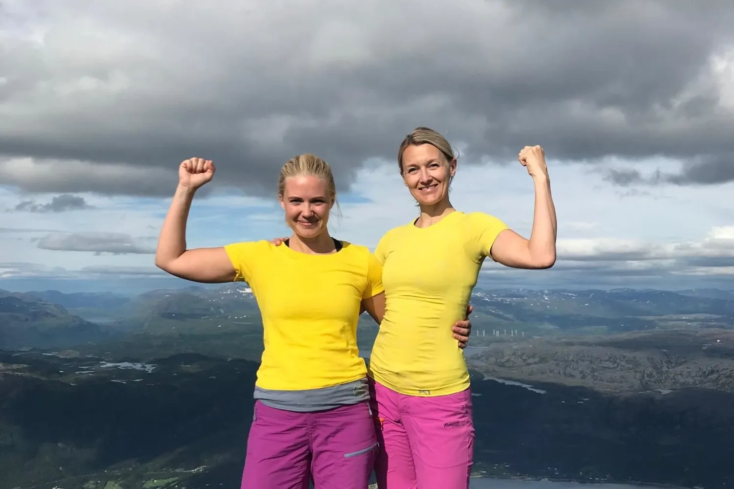
Towards the top, the route follows the ridge further uphill. Here, the landscape opens up with a view down towards Straumsnes and the Rombaksfjord, while the terrain becomes steeper and more airy. The last sections require scrambling, including through a V-shaped gorge of about 5–6 meters. At the top, a flat top surface and wide views of Narvik and the surrounding mountains await.
This is a very demanding mountain hike for experienced mountaineers who are confident in steep terrain. Rombakstøtta is best suited for summer and autumn, when the conditions are right for traffic in scree, boulder fields and airy areas.
More information
- The trip is very demanding.
- The trip is about 7-8 km from the starting point to Rombakstøtta.
- The estimated time spent is about 6–8 hours round trip.
- Rombakstøtta towers 1230 meters above sea level and the mountain hike offers 1133 meters of elevation with stitching.
- The recommended season is summer and autumn.
- The terrain consists of gravel roads, paths, old construction roads, stone scree, boulder fields and steeper mountain sections.
- The last part towards the top has airy sections and scrambling, including a V-shaped gorge of about 5–6 metres.
- It is very steep down the right side of the ridge towards the top.
- The path has cairns and parts of the road are marked red towards the southeastern ridge of Rombakstøtta.
- There is an outdoor toilet at the shelter at Førstevann.
- There are several rivers in the high mountains where you can drink water.
- There is mobile coverage along the route.
- The tour is not suitable for children.
- The trip is not suitable for dogs due to steep terrain near the top and sections with scrambling.