






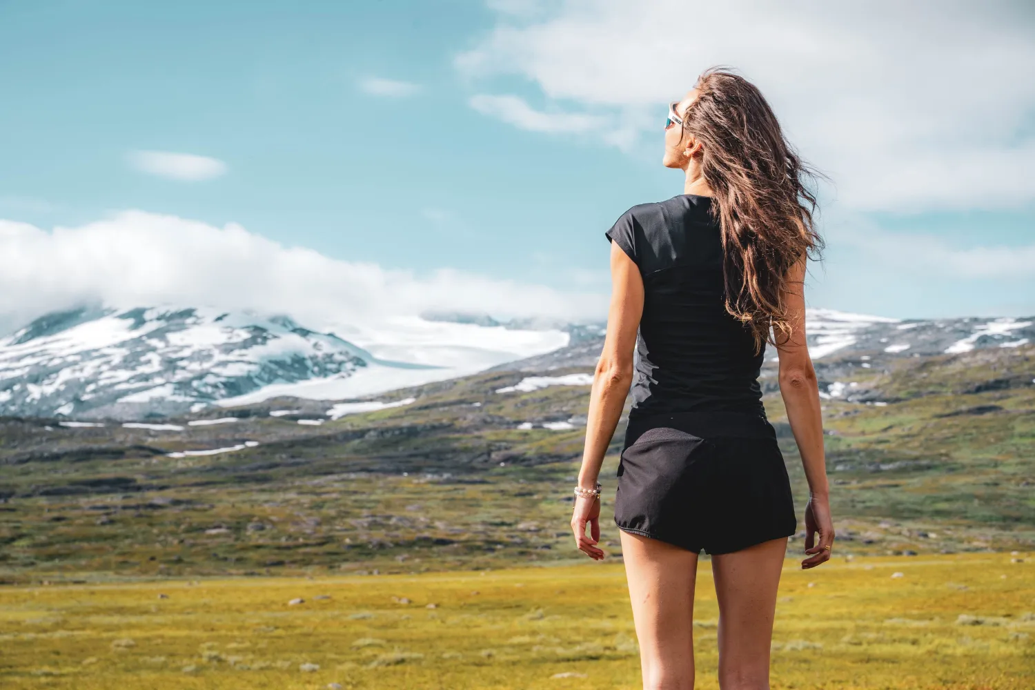
The Nordland Trekking Trail – Part 1 through the Narvik Mountains
Highlights
- Experience the highest part of the Nordland Route
- Follow marked trails from Bjørnfjell, via Katterat and further into the Narvik mountains
- See the Ofoten Railway, Norddalsbrua, valleys, mountain lakes and high-altitude mountain terrain along the way
- Explore a long trek with multiple stages, cabins, and gateways
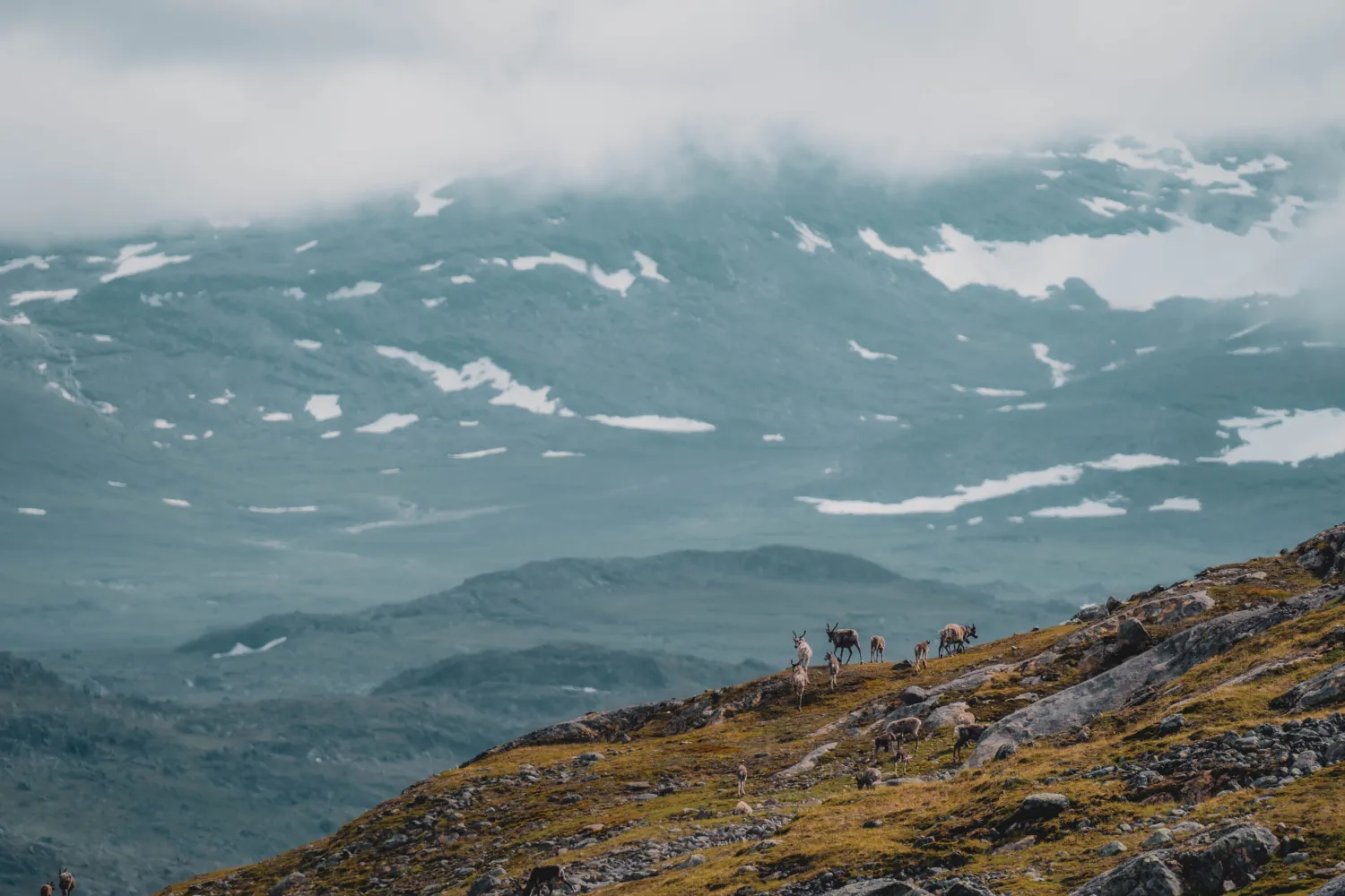
- Take into account active reindeer husbandry, changing weather and vulnerable mountain nature
Description
Description: Nordland Trekking Trail – Part 1 through the Narvik mountains is a demanding mountain hike for those who want to go deep into the mountains around Narvik. The stretch runs from Bjørnfjell to Sijdasjávrre and has a length of 94.9 kilometers. The route can be walked as one longer trip or divided into stages with overnight stays along the way.
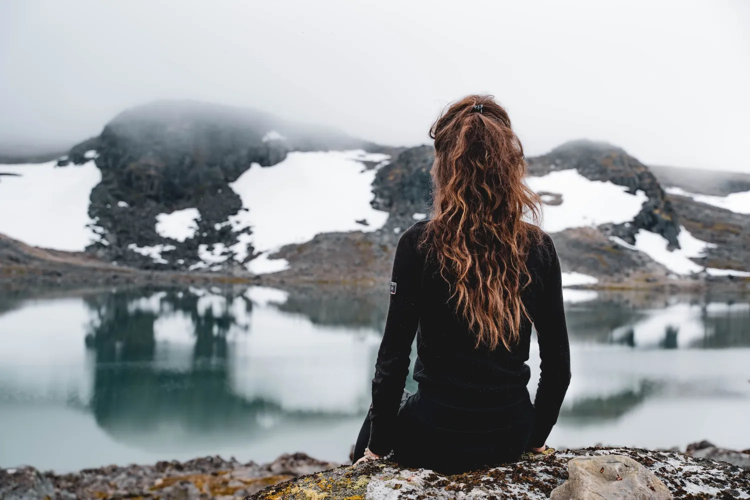
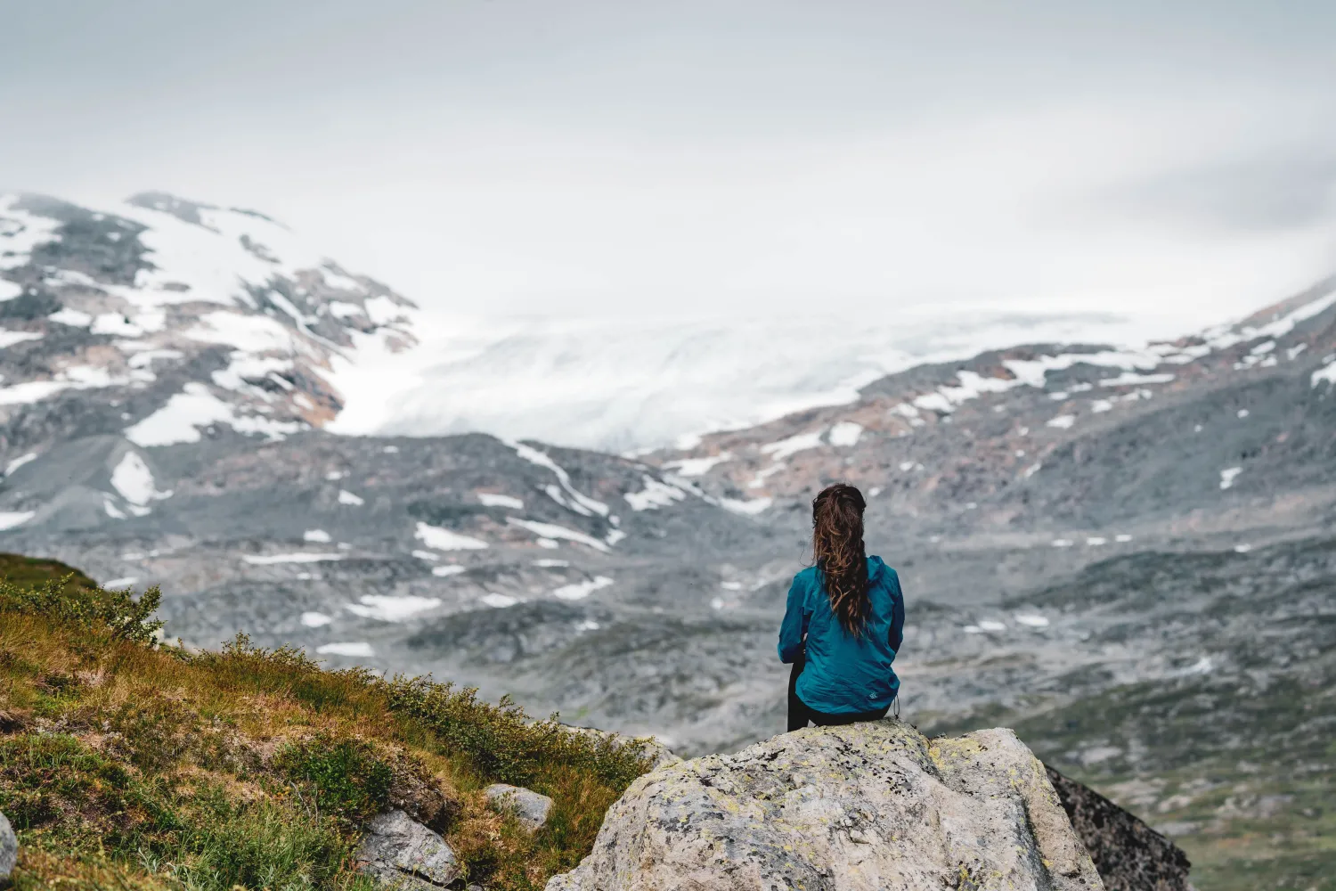
This is the highest lying part of the entire Nordland Trekking Trail. Large parts of the trip are in high mountain terrain between 700 and 1000 meters above sea level, with two cabins located at around 1000 meters above sea level. Here you will also find the Nordland route's highest point at 1226 meters above sea level.
The first part starts at Bjørnfjell station and follows Rallarveien, which is signposted from the south side of the station. Here you walk in a landscape where mountains, railway history and raw nature are close to each other. Along the way, the route passes, among other things, Norddalsbrua, Ofotbanen and views of Norddalen's gorge before continuing towards Katterat.
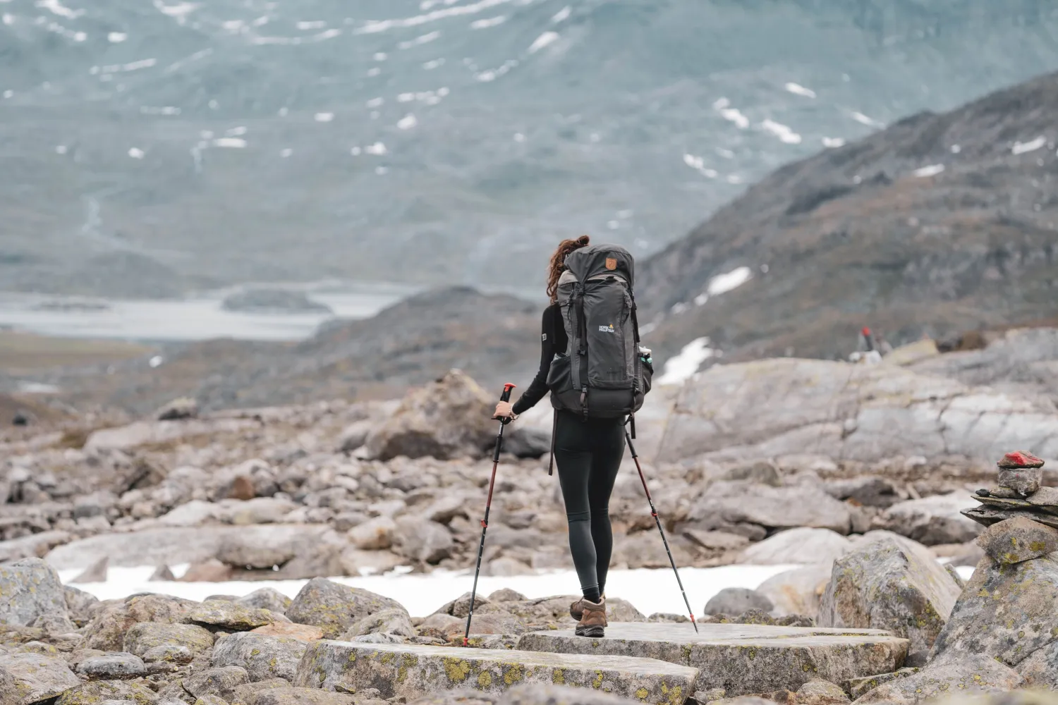
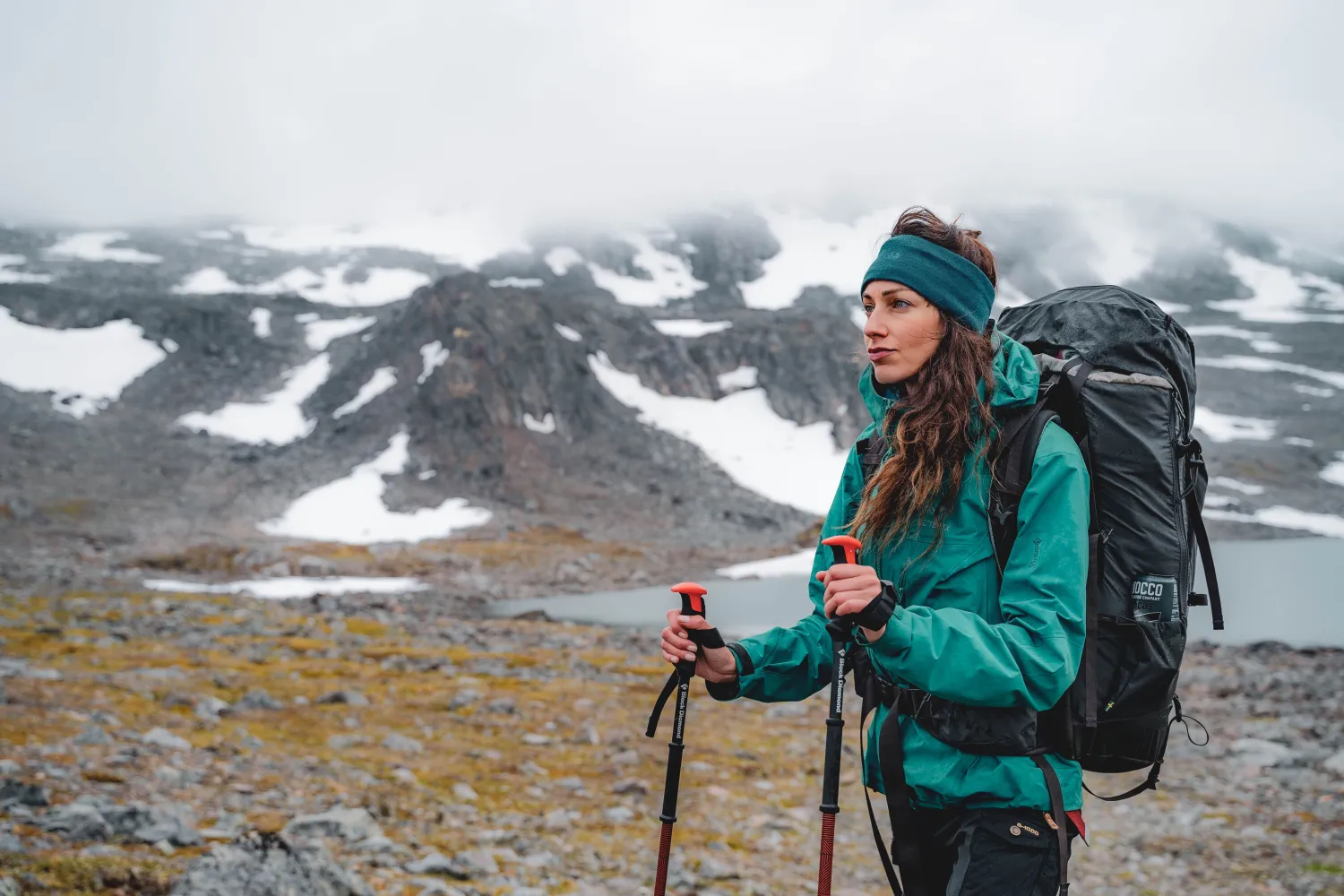
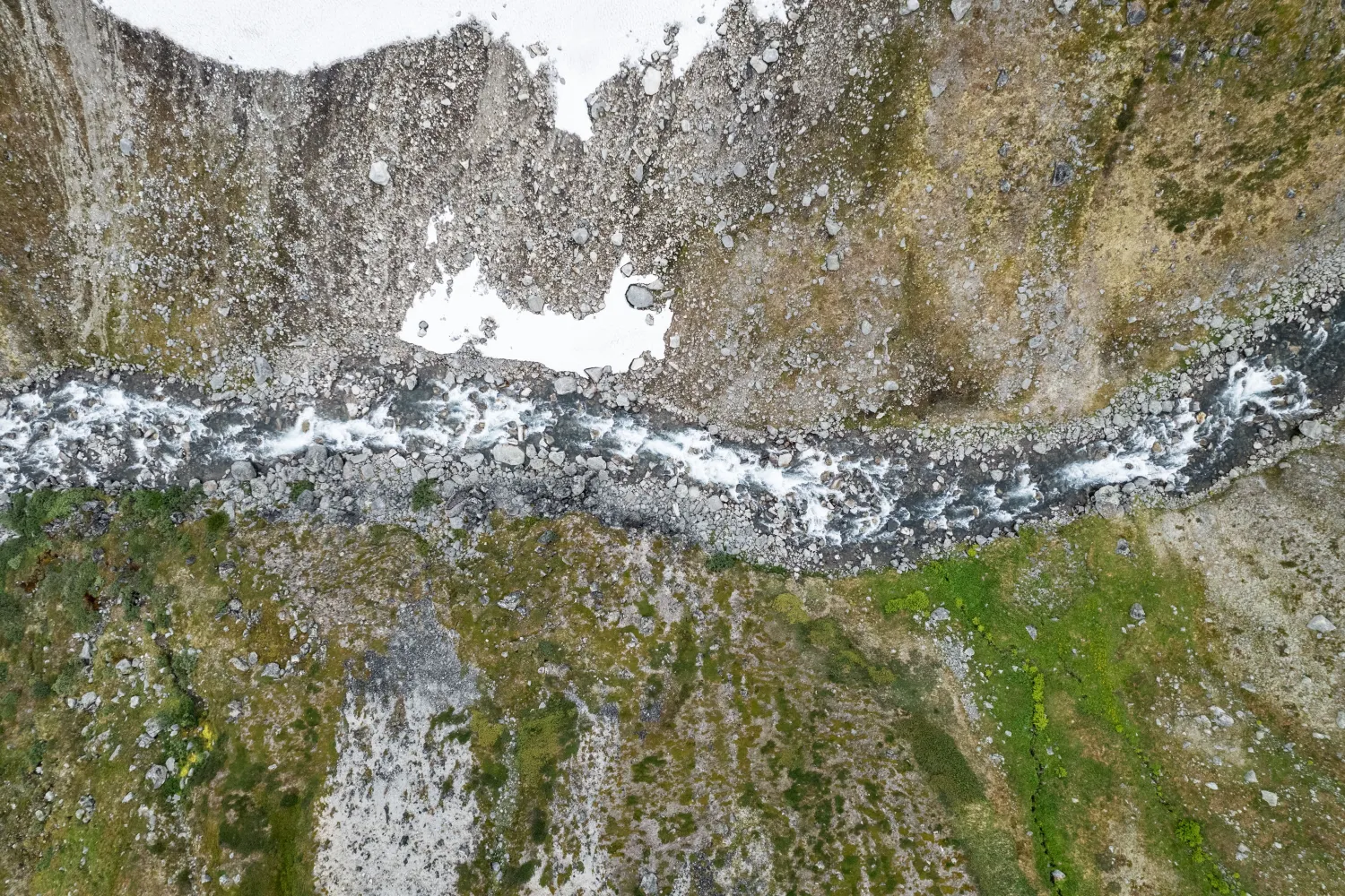
Furthermore, the route continues into more demanding mountain terrain with valleys, mountain lakes, rivers that must be crossed or waded, and long distances between DNT cabins. This is not a low-threshold hike, but a mountain hike for experienced hikers who can plan well, read terrain and handle changing conditions in the high mountains.
More information
- The best time for the trip is summer and autumn, when the snow has melted in the high mountains.
- The route is demanding and suitable for mountaineers with good physical shape.
- The surface varies from gravel and construction roads to paths, high mountain terrain and sections where rivers or streams must be waded.
- The first stage follows the Navvy Road, but parts of the route also go in steep and landslide-prone terrain.
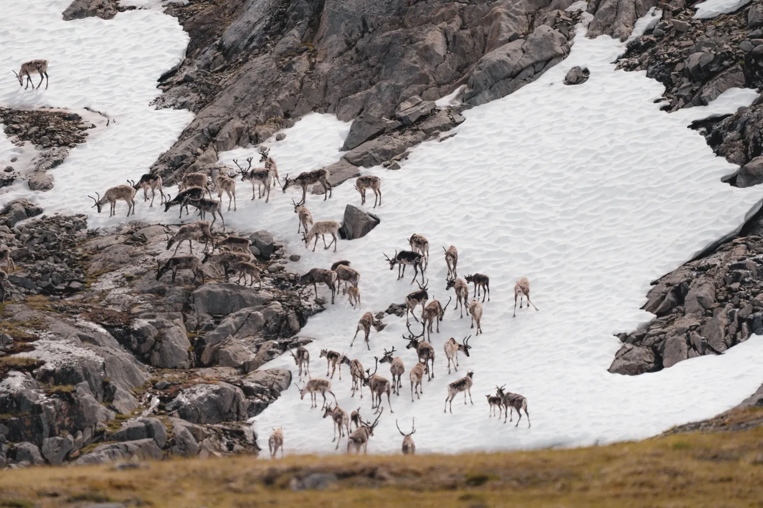
- There is active reindeer herding in parts of the route. Do not disturb the reindeer, and always have a dog on a leash.
- The trip is only suitable for very experienced children who can walk far in the mountains.
- Dogs are suitable for the trip, but must be kept on a leash.
- The tour is not suitable for people with disabilities.
- There is insufficient mobile coverage in several places. For long hikes in the mountains, emergency beacons, such as Garmin InReach, are recommended.
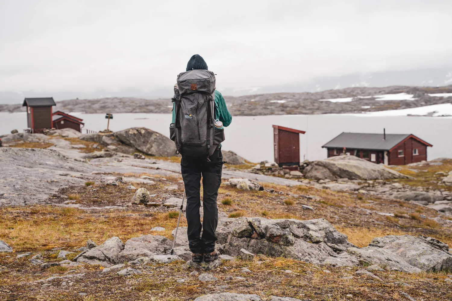
- Several cabins are unmanned DNT cabins and require a standard DNT key.
- All cabins along Part 1 of the Nordland Route have an outdoor toilet.
- Bring your own rubbish home, and do not use cabin wood for a fire outside.
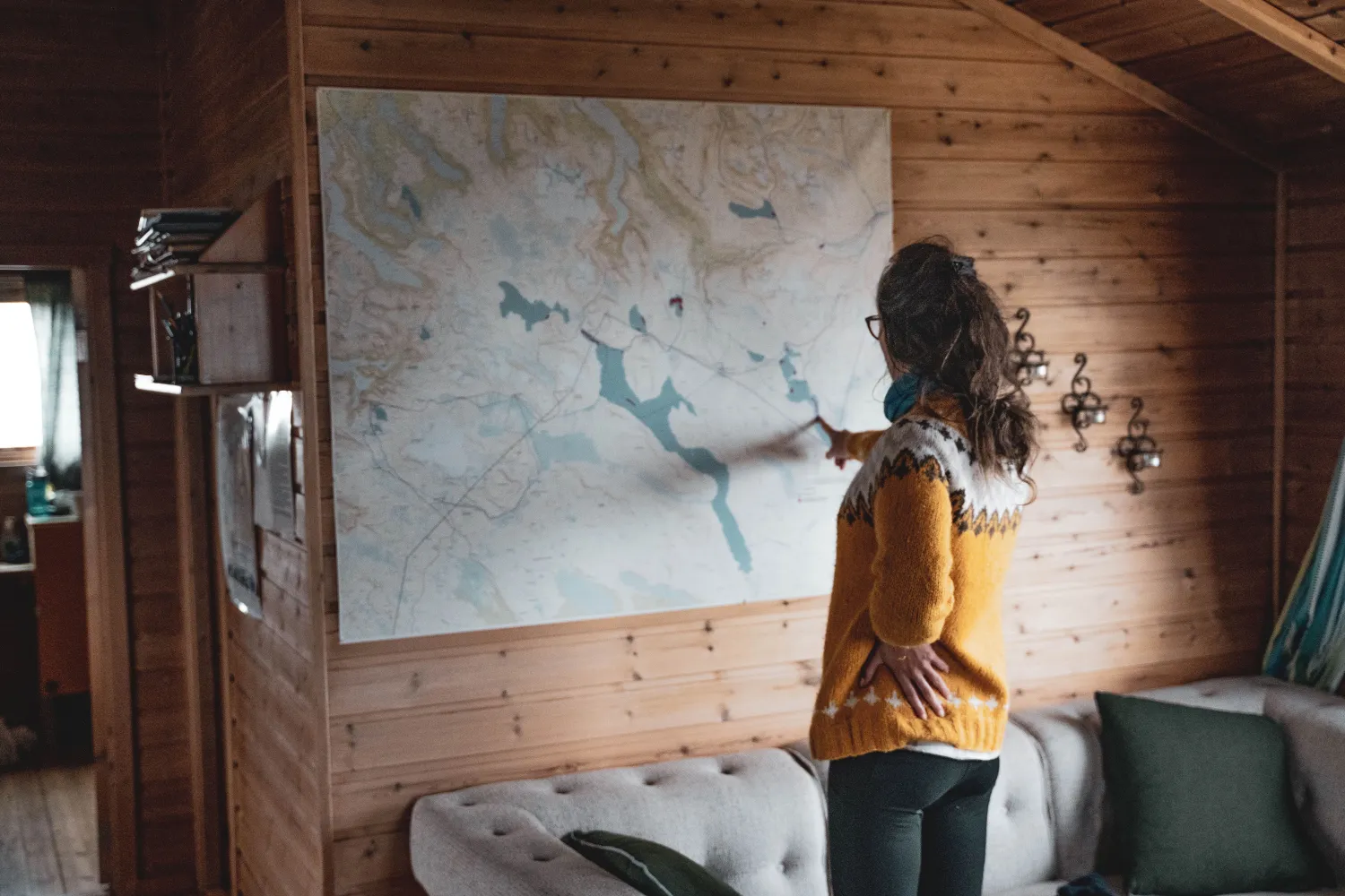
- Use dnt.no/ut.no for detailed information on water sources, maps, GPX tracks, emergency equipment, and packing list before the tour.