






Skamdalen recreation area in Beisfjord
Highlights
- Experience rivers, waterfalls and rock formations into Skamdalen
- Follow the trip around Lillevatnet on paths and gravel roads
- Explore the valley floor further towards Skamdalsvatnet
- Use the area as a starting point for longer mountain hikes towards, among other things, Lossihytta
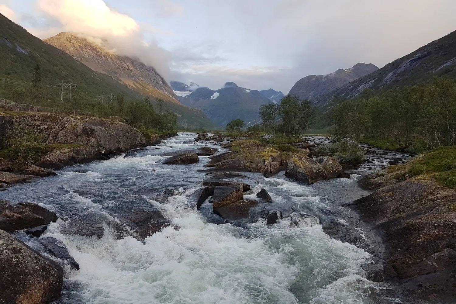
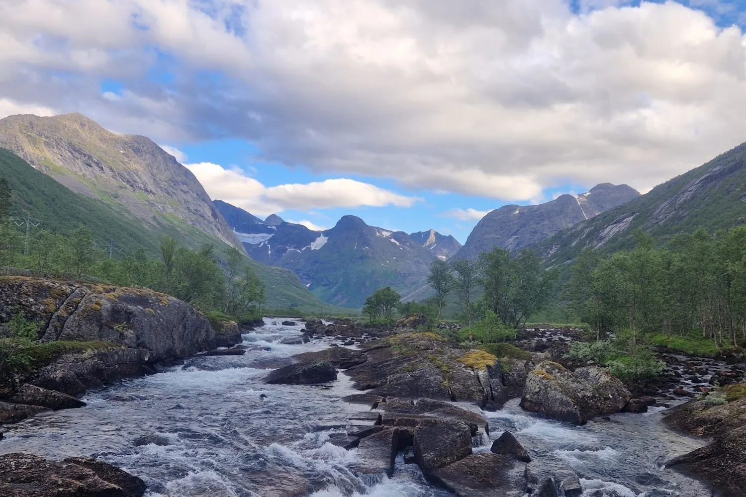
- See the Stubli river and the waterfall by the bridge on the way in towards Skamdalen and Stublidalen
Description
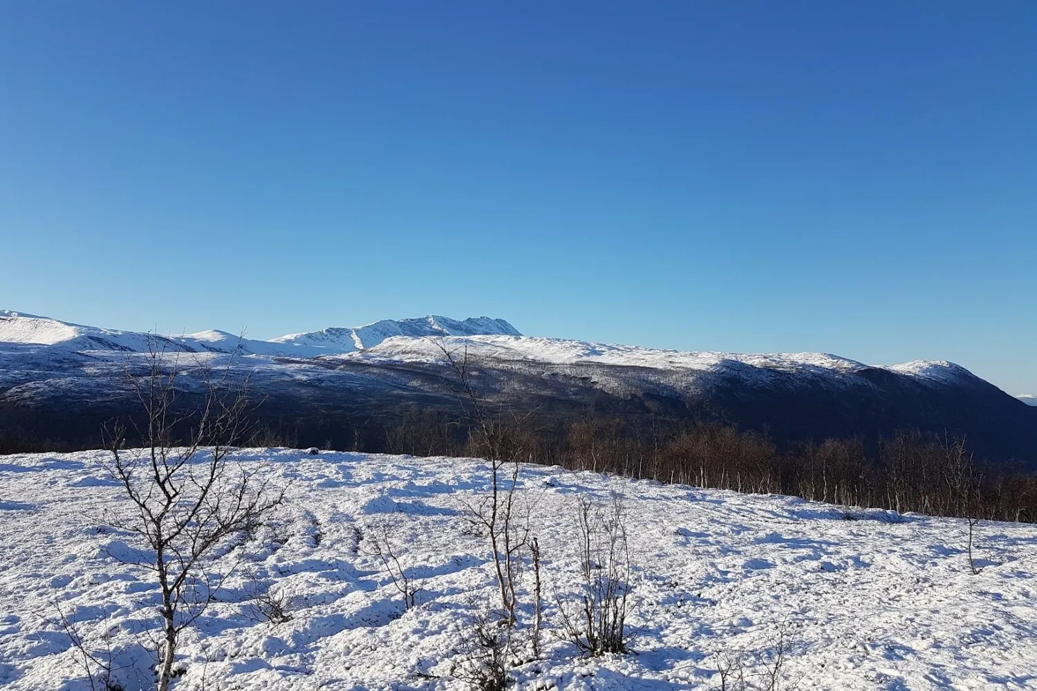
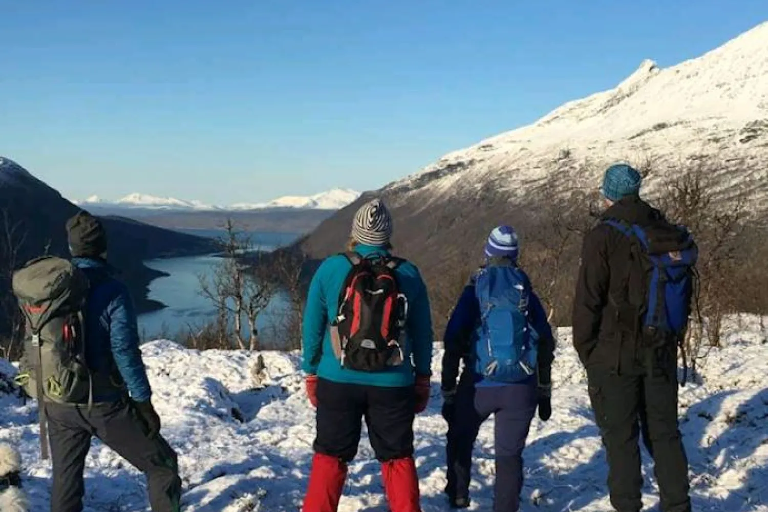
Skamdalen outdoor area is a varied hiking area in the innermost part of Beisfjord. Here, roads and paths follow the landscape inwards along rivers, lakes and valley floors, with the mountains close by. The area is relevant for both short short hikes and longer mountain hikes, but the choice of route and degree of difficulty varies greatly.
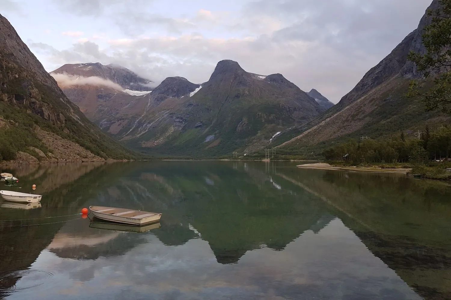
One of the easier hiking opportunities is around Lillevatnet, a trip of about 10 kilometers with approx. 150 meters of elevation gain. The trip follows Lakselva inwards and rounds the water via paths and gravel roads. Further inland, you can walk towards Skamdalsvatnet, a trip that is stated to be approx. 7.5 kilometers one way from the parking lot at Tømmerbakken.
Skamdalen is also used as a gateway to more demanding trips in the mountains. From the area, there are routes to, among other things, Nihkecohkka, Máttačorru traverse and Lossihytta. These are trips for experienced hikers, and several of the routes require experience, good judgement and the right conditions.
At the road towards Skamdalen is also the detour towards Stubblidalen. If you turn left before the waterfall and the bridge, you will come towards Stubblidalen, while the road over the bridge continues towards Skamdalen and Skamdalsvatnet. In the area by the bridge, you can experience the Stubli River, where the river forms waterfalls and rapids in the valley.
More information
- Skamdalen and Stublidalen have hiking opportunities with very different degrees of difficulty. Choose your trip according to experience, weather and conditions.
- The hike around Lillevatnet is easy to moderate, around 10 kilometers and approx. 150 meters of elevation.
- The trip to Skamdalsvatnet is approx. 7.5 kilometers one way from the parking lot at Tømmerbakken.
- The road inland is a private, toll road with a camera barrier and digital payment.
- The road towards Skamdalsvatnet is gravel road and is stated to be closed for winter.
- The terrain can be rugged. Allow plenty of time, especially on longer trips.
- Check the water flow in rivers after a lot of rain.
- Rocky outcrops in Stublidalen and the area towards Helligvatnet can be slippery and dangerous in damp weather, fog or early snow melting.
- The tractor road further up towards Stublidalen has varying standards, and cars with low ground clearance should park earlier.