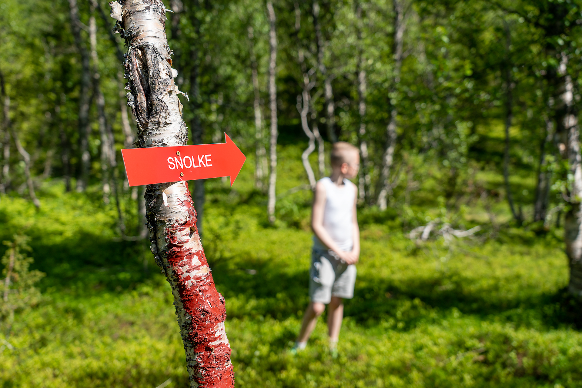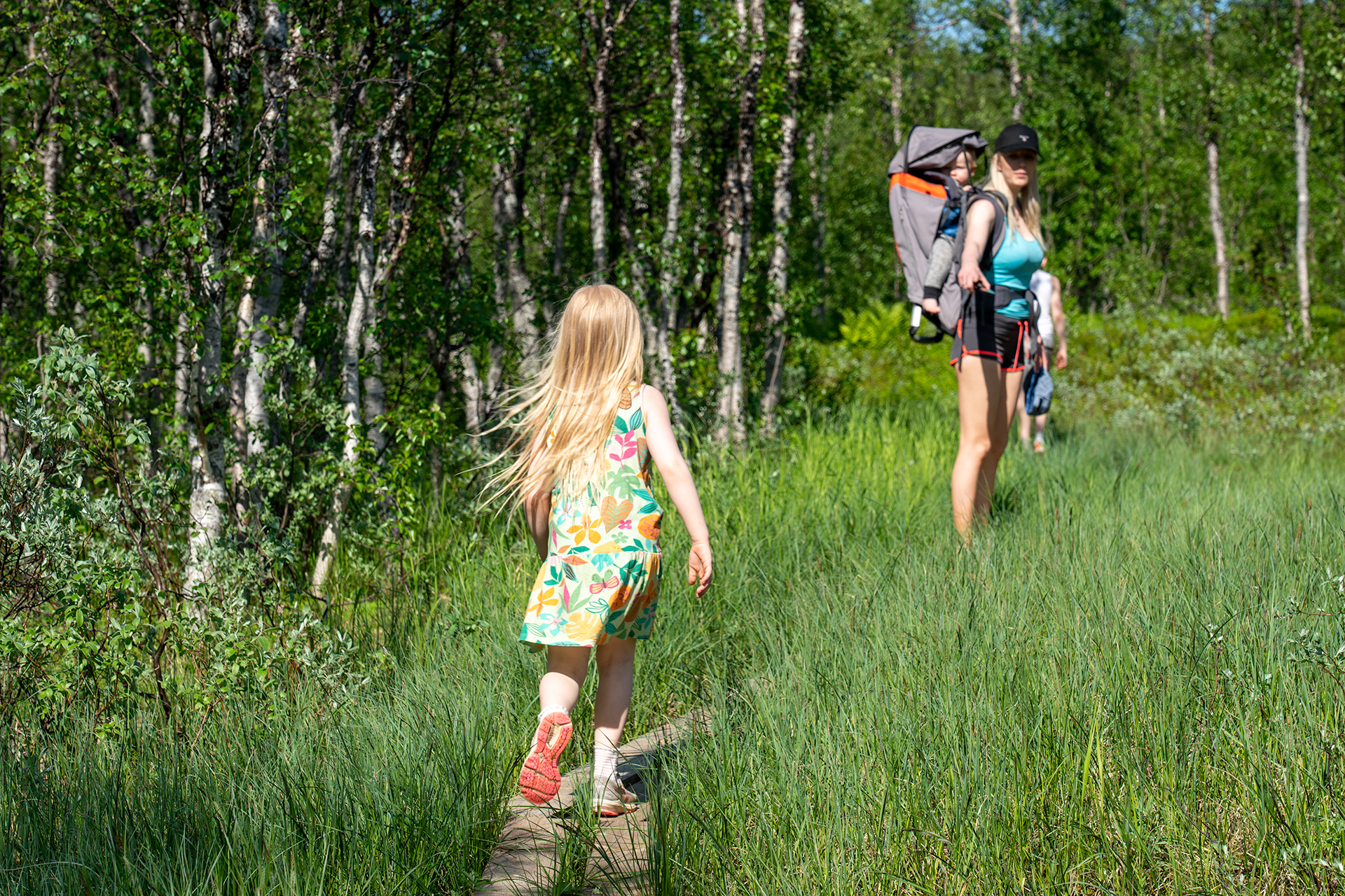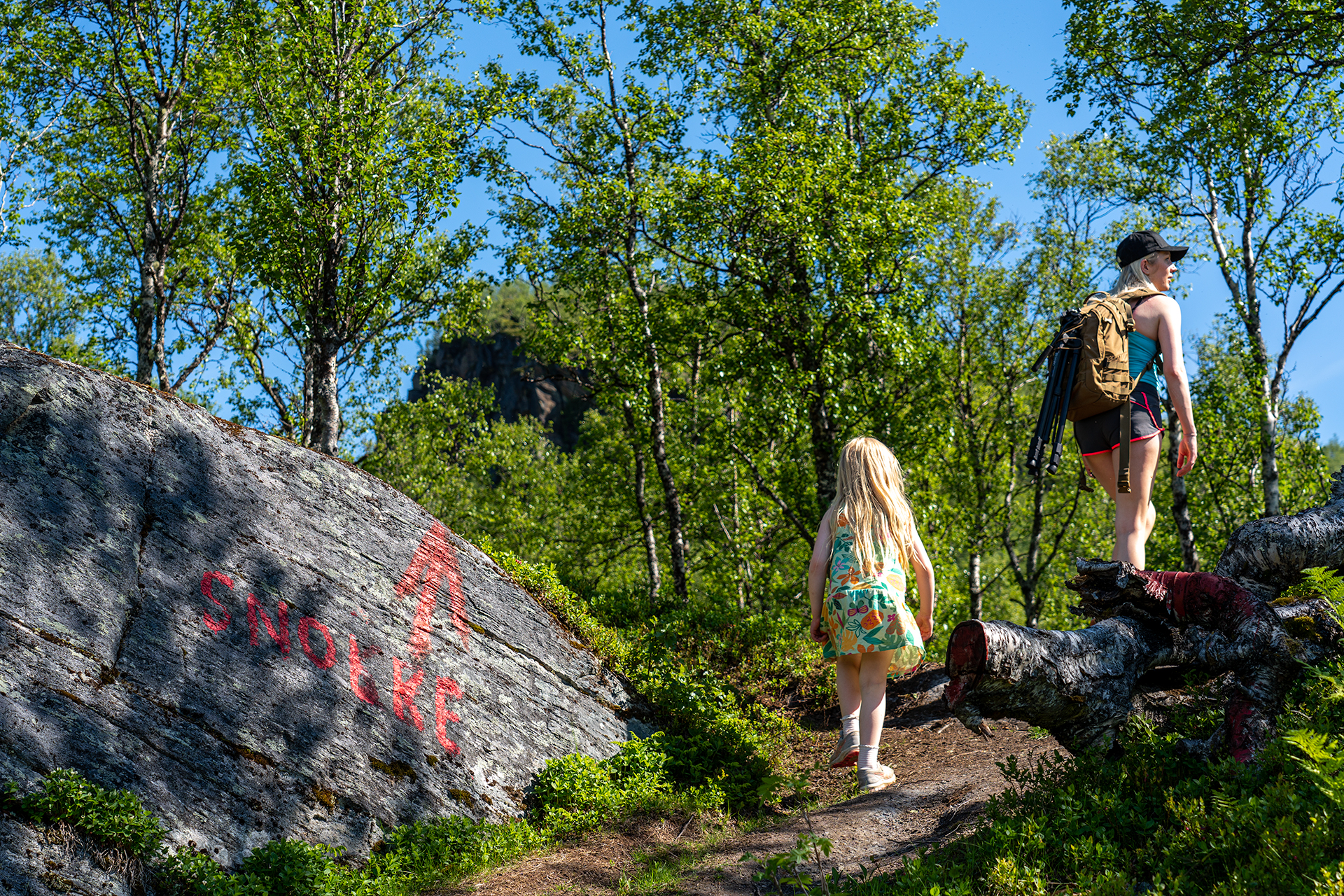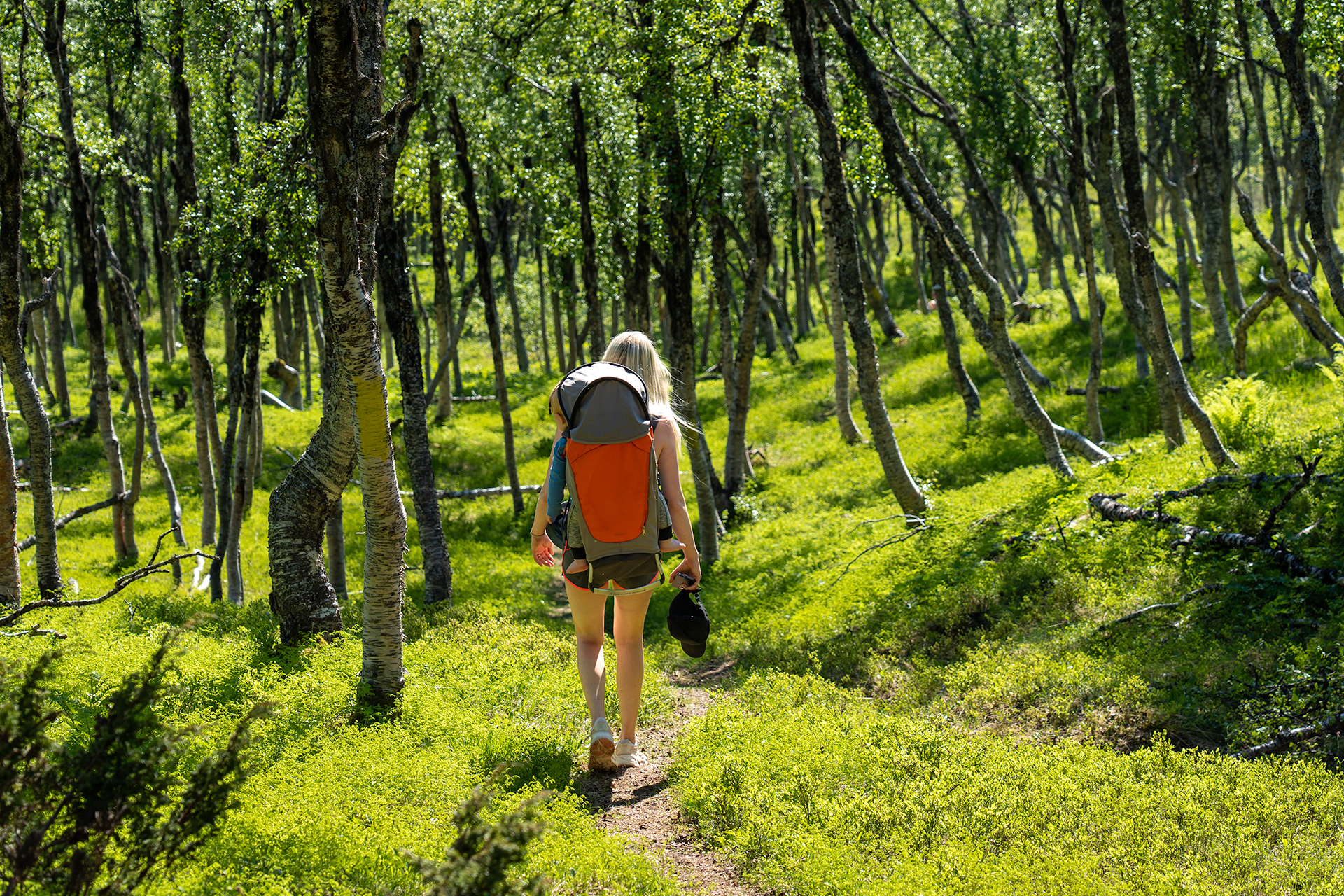


The trip to the Snolke cabin in Gratangen is suitable for everyone. The trail is well marked with wooden boardwalk over the wet areas in the marshes. From the starting point at the parking lot, the trail goes through flat marshes and along beautiful forest paths until the landscape gradually goes uphill towards the mountains.
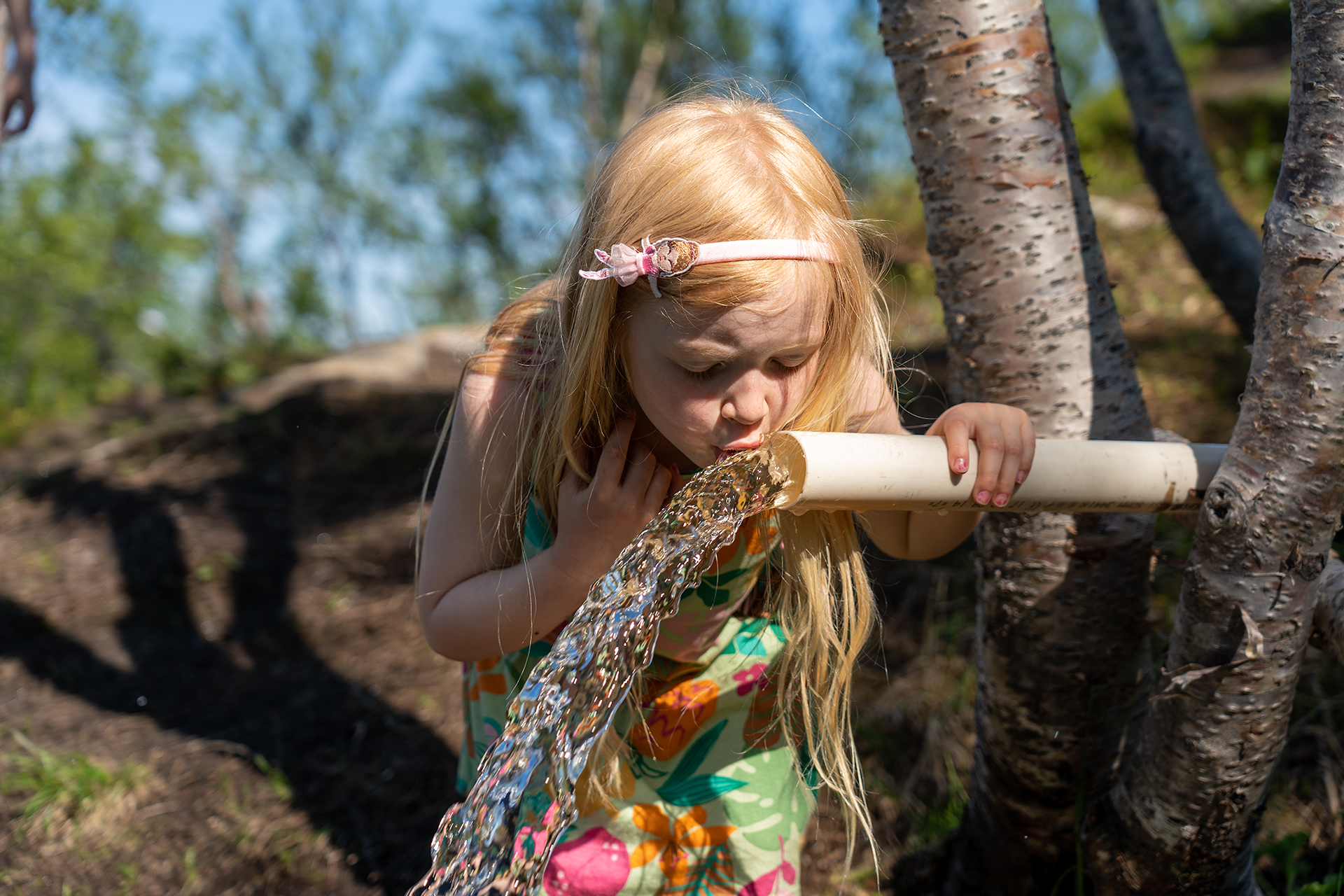
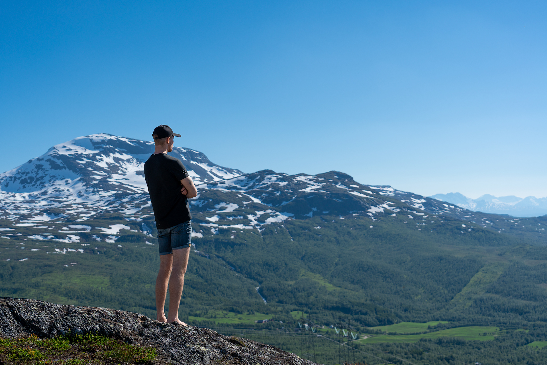
One of the best things about this trip, apart from the magnificent views, is the varied terrain. For the little ones, it is motivating to constantly discover new things along the trail. Nesting birds in the reeds, green fern forests, ripe blueberries in the heather and several great vantage points along the path. Near the top, the trail will pass a place where you can quench your thirst from a pipe with flowing crystal-clear mountain water.
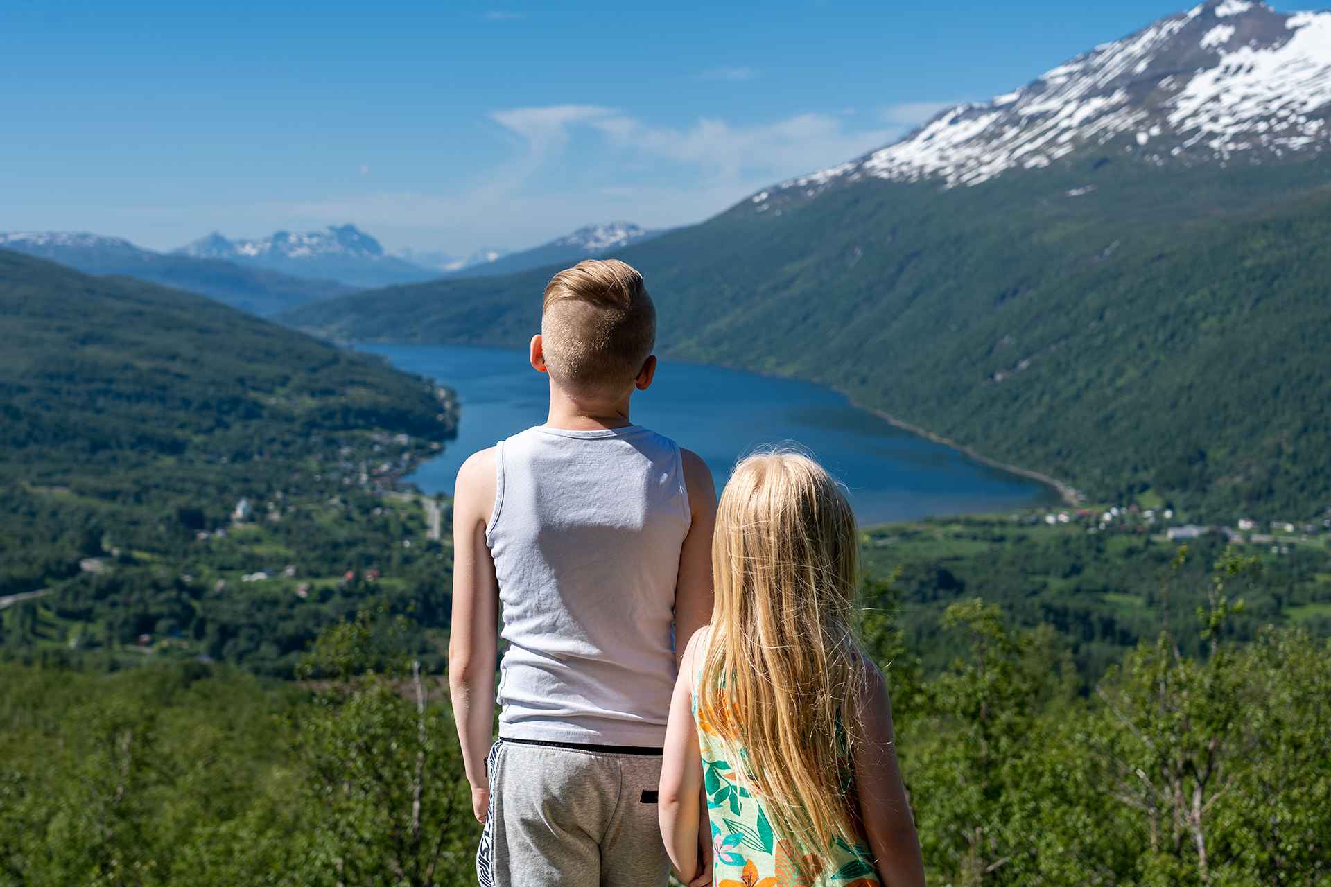
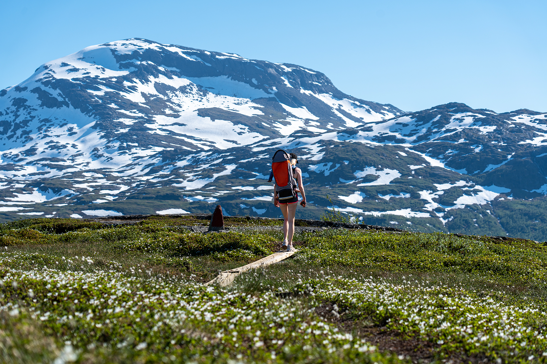
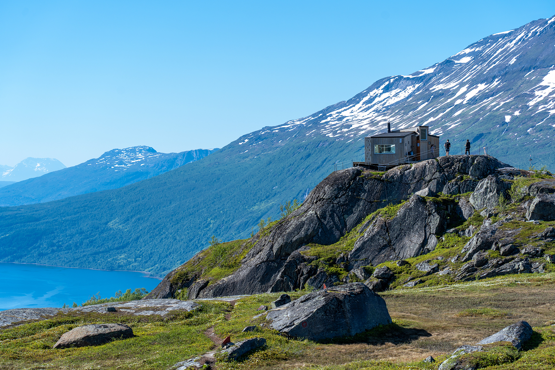
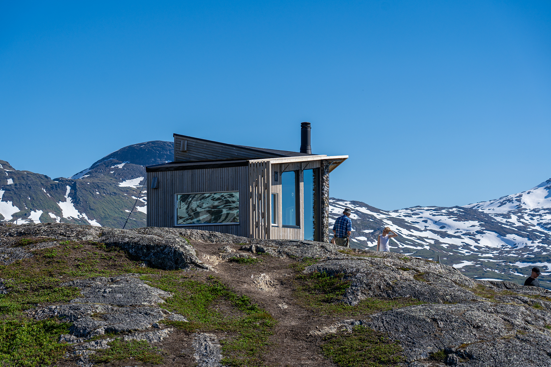
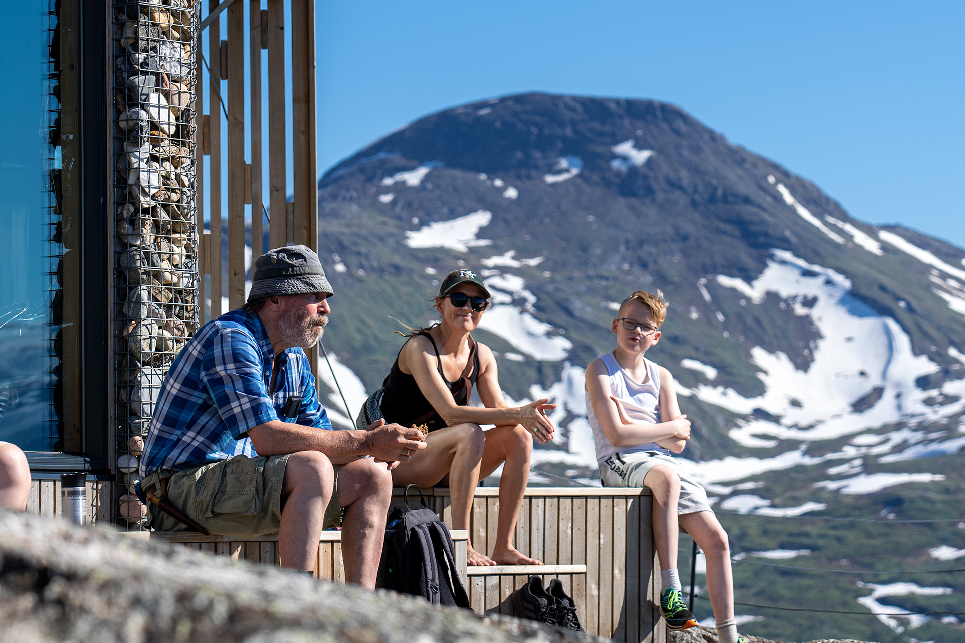
When you get close to the top, you leave forest behind, and reach the highlands with its flat marshes covered in countless cloudberry plants. In the middle of it all, the Snolke cabin thrones on a large rock formation with amazing views in all directions. The cabin is a sight with its modern design in stone, glass, and wood. From the terrace outside the cabin, you can enjoy a magnificent view of Kvernmoen surrounded by snow-capped peaks - a sight you won't forget at first.
- Marked trail
- Suits everyone
- Easy hike with a great view of mountain ranges around Gratangen.
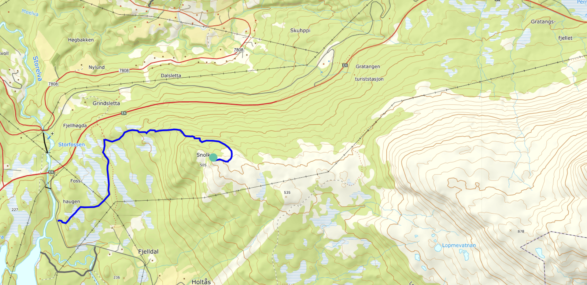
Please note that the maps are intended to give the starting point and approximate direction for the trip. They are not intended for precise positioning. You always have to make your own judgments when you are on a trip in the mountains based on what you see and think.
Practical Information
Distance from the town of Narvik is about 30 minutes’ drive north of Narvik.
Getting there: Take the E6 north to Bjerkvik and follow the road north for 15km until the sign pointing to "Kvermoen". Leave E6 and drive towards Kvernmoen until you reach the parking lot on your right side.
You can park at the designated parking lot next to the sign post: "Gratangsfjellet og omegn - Turkart"
The trail start at the parking lot and is properly marked all the way to the destination.
Medium – Blue grading
Suitable for:
Beginners and walkers of average fitness. For hikers with basic hiking and outdoor skills.
Type of path and terrain:
Similar to green trails, but can have more challenging sections. Can be rocky but no demanding scree. No streams to be crossed.
Altitude metres, maximum trip length:
Elevation difference: less than 600 metres. Max length: 10 km.
Degree of elevation and exposure:
Most ascents are moderate, but can include some steep slopes. Certain sections can be considered precipitous for some.