


The starting point for the tour is at close to 500 masl, so you get many free altitude meters at the start. The view is phenomenal, and the terrain is varied and beautiful. The path is well marked and there are several interesting stopping places along the path. It is not without reason that Spanstinden is one of the most popular peaks in the area.
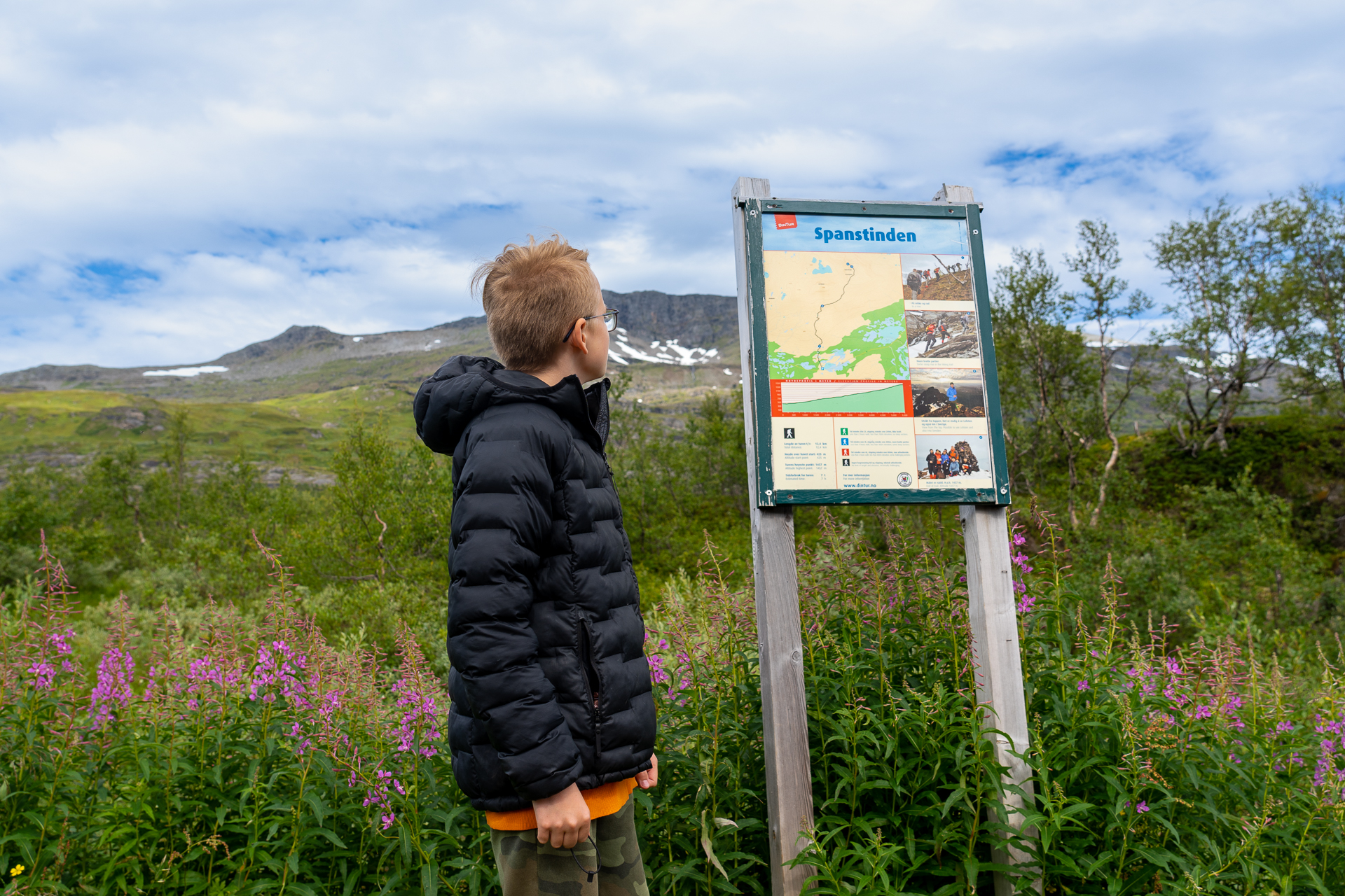
The tour starts at the information sign in the car park at Lake Bukkemyrvatnet. From there, the path goes gently over Bukkemyra, with wooden boardwalk over the wet areas in the marshes.
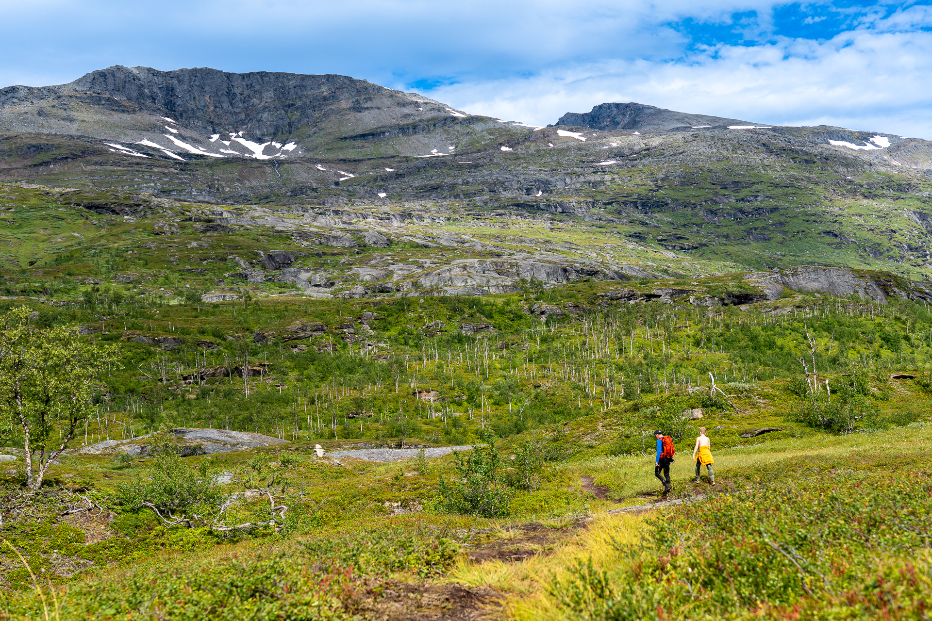
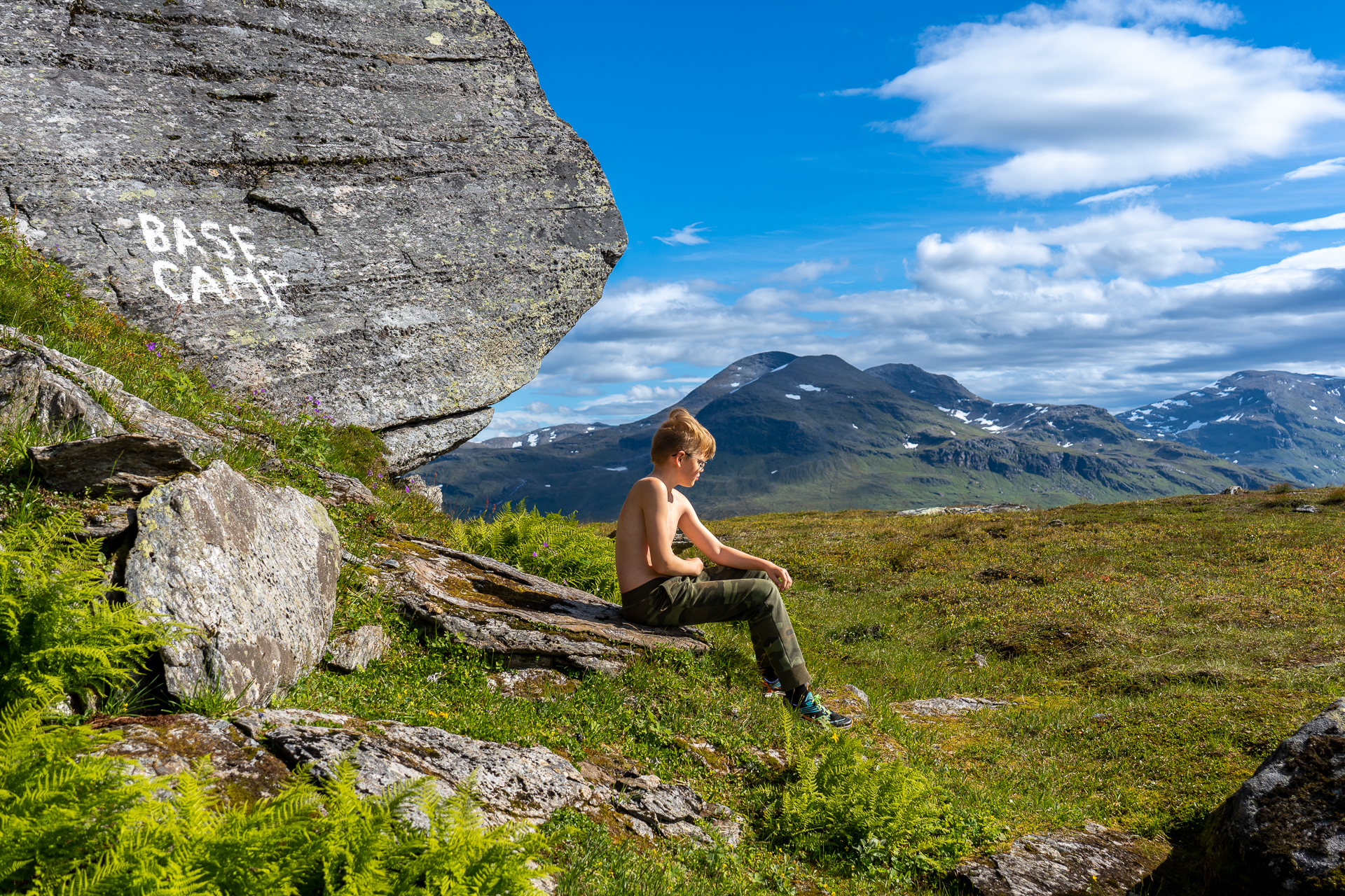
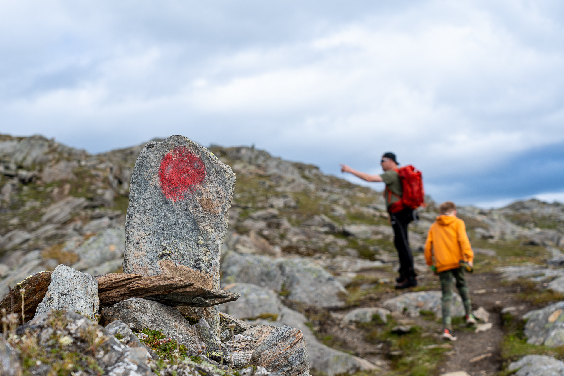
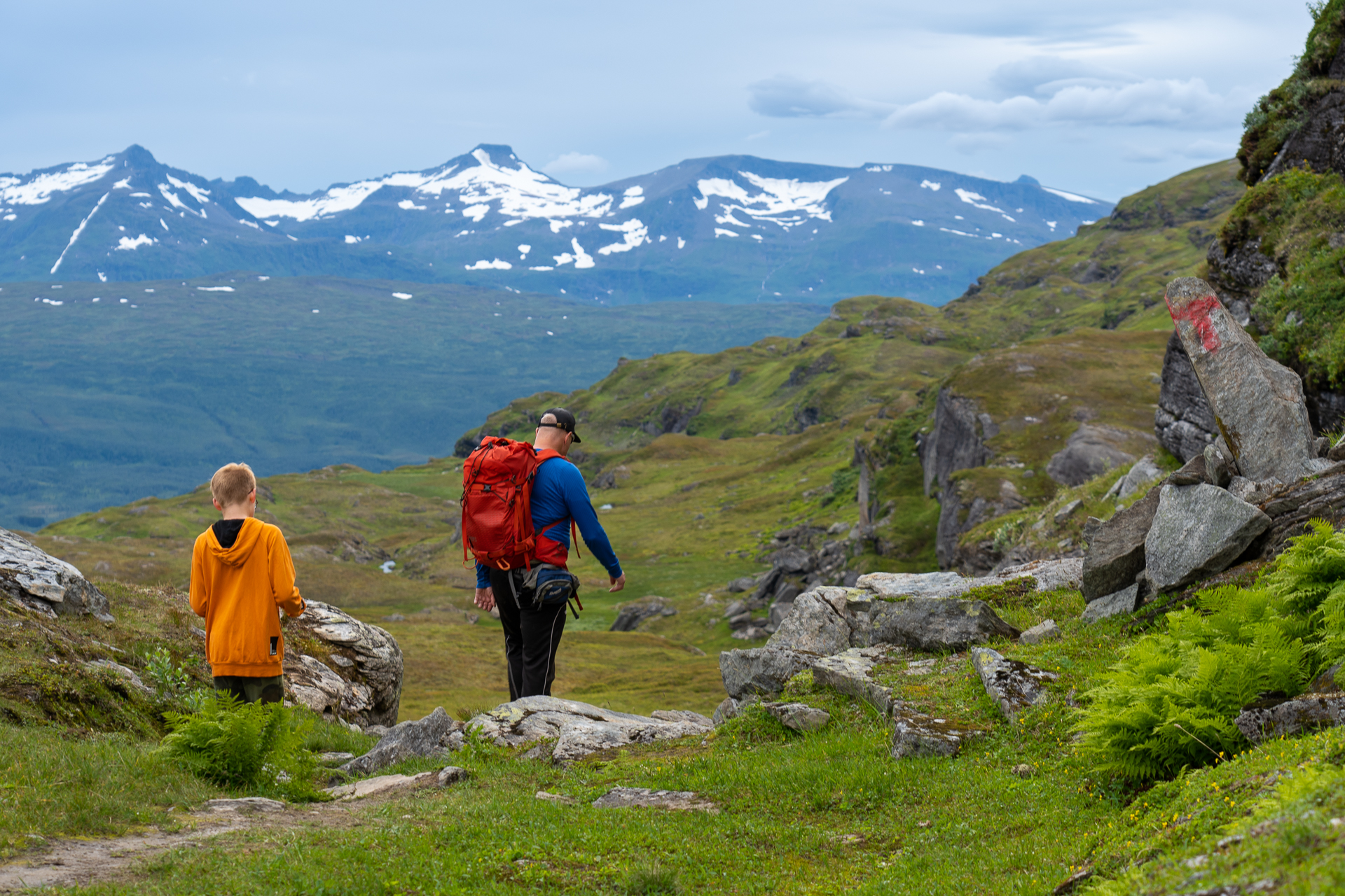
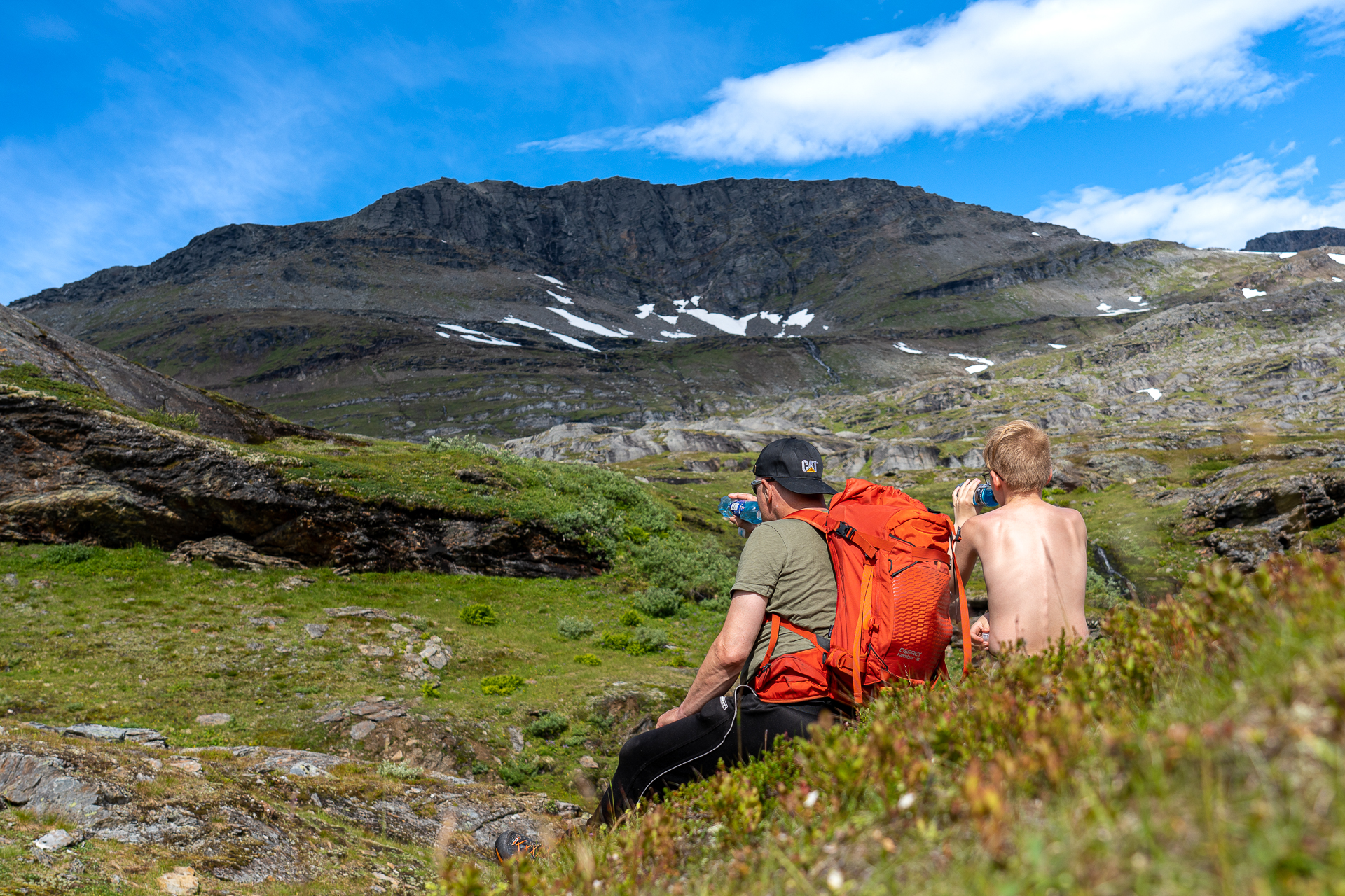
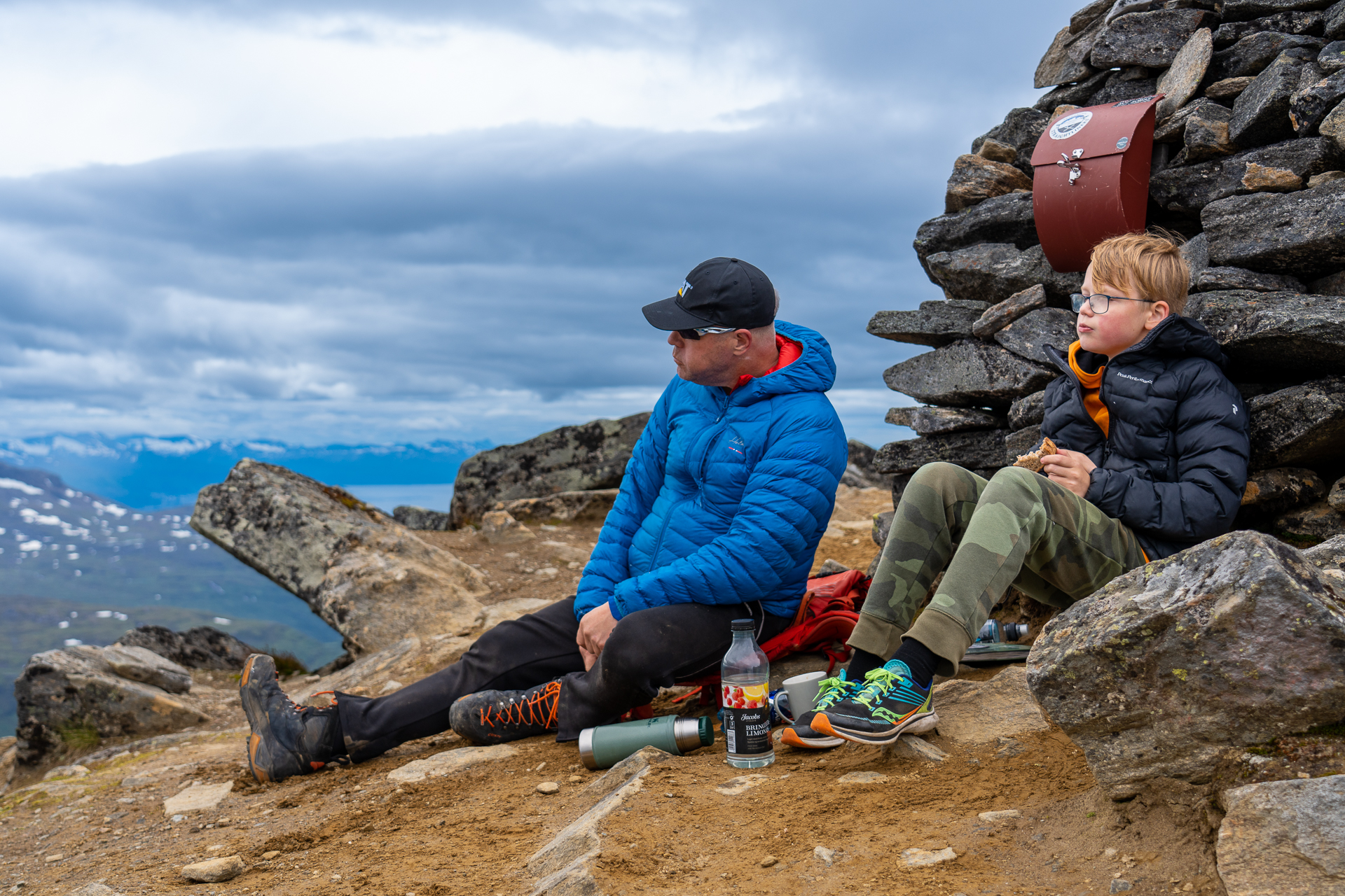
The path then continues upwards towards Sølvfjellet. On the way, there are several nice places to take a breather. Particularly worth mentioning is a small plain with "BASECAMP" painted on the ridge above. This is a nice place to take a short lunch break and enjoy the view before continuing.
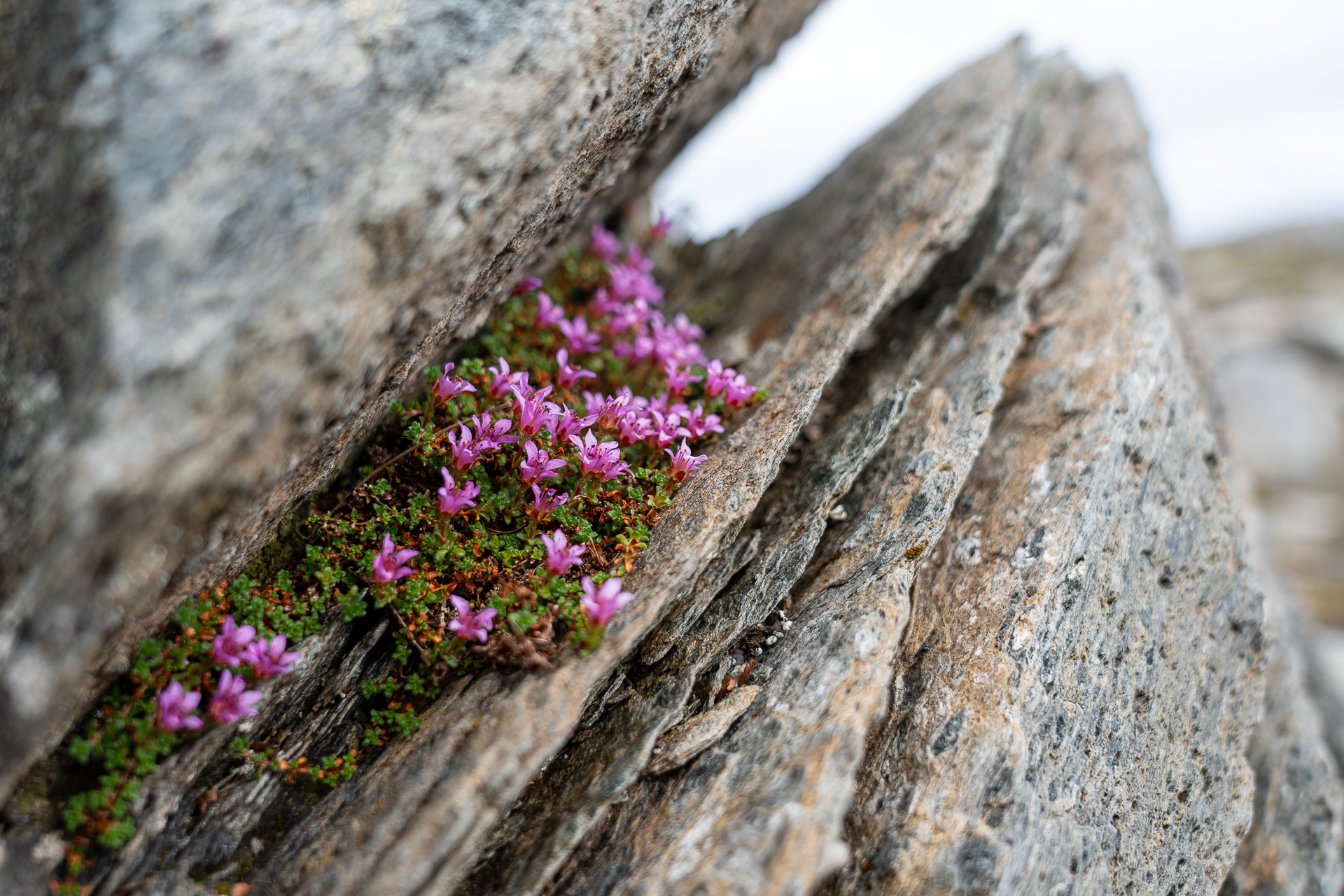
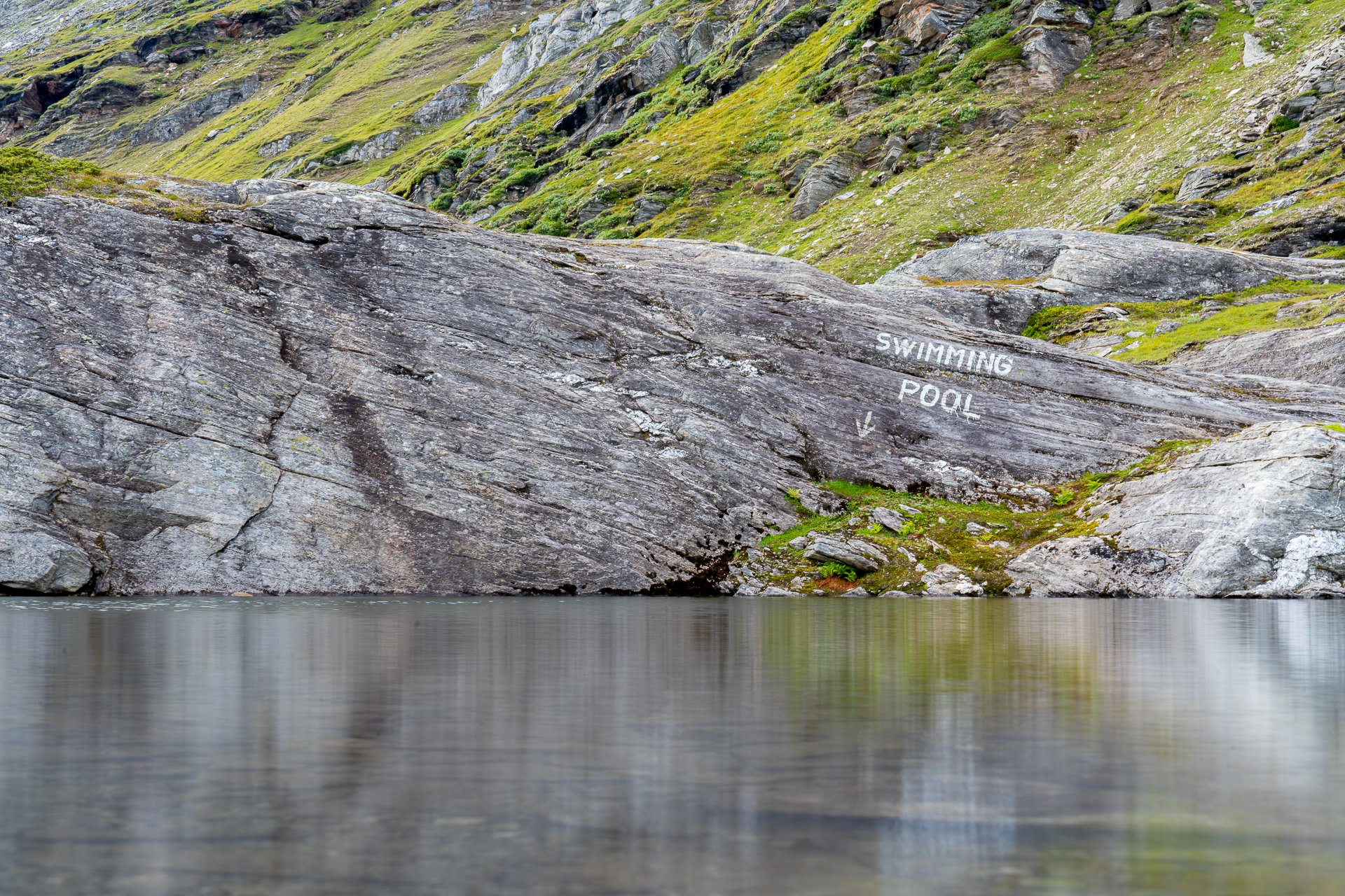
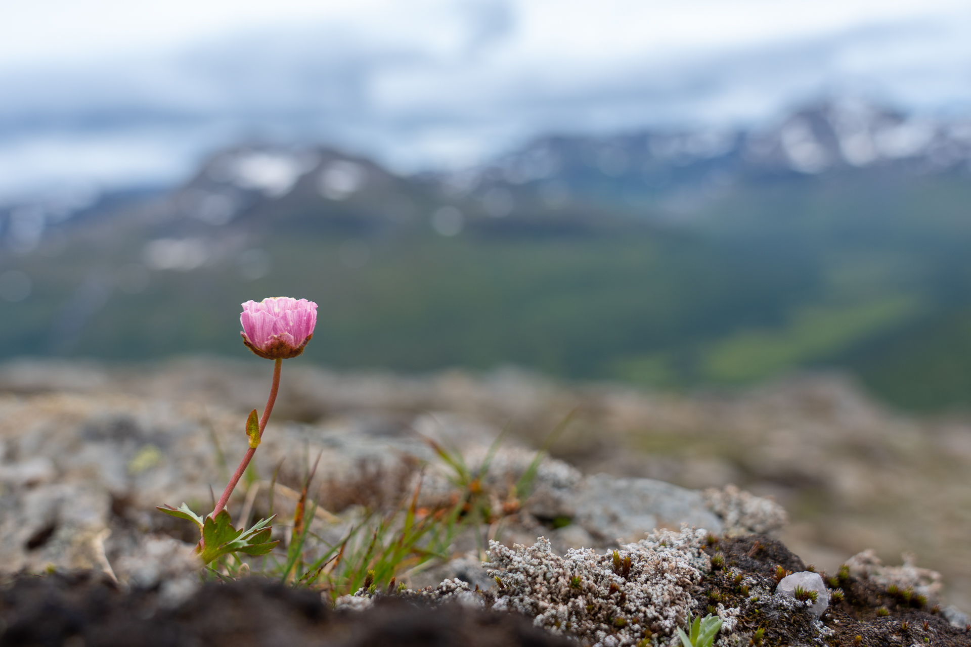
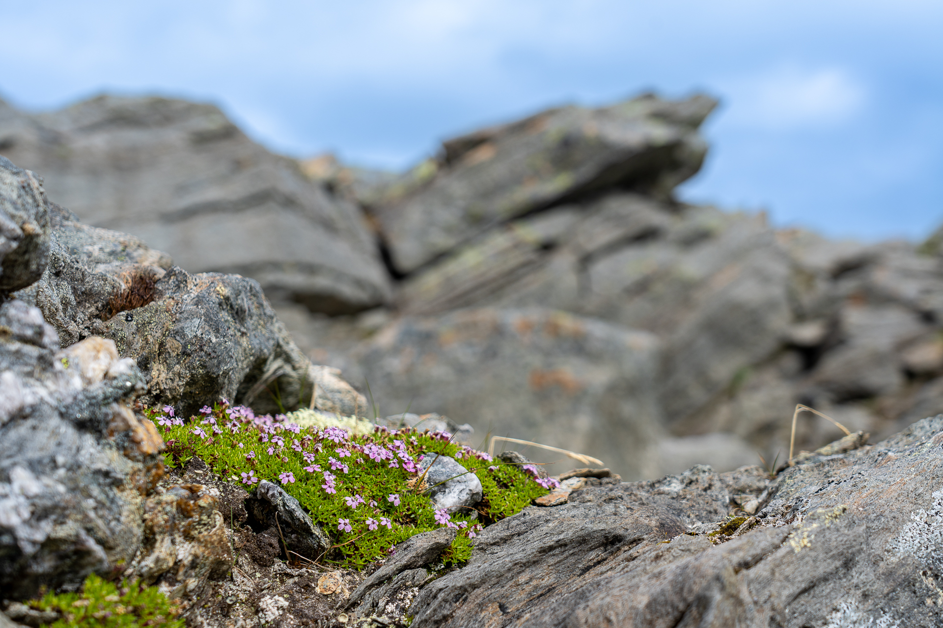
A little further up you come to a wonderful little lake with "Swimming pool" written in the rock at the edge of the water. If you are not brave enough to jump in, the place at least offers a great opportunity to take some really cool photos. The surrounding area offers several great locations with streams and small waterfalls trickling down the green mountain sides. Beautiful mountain flowers and spectacular rock formations with a snow-covered peak in the background form great motifs.
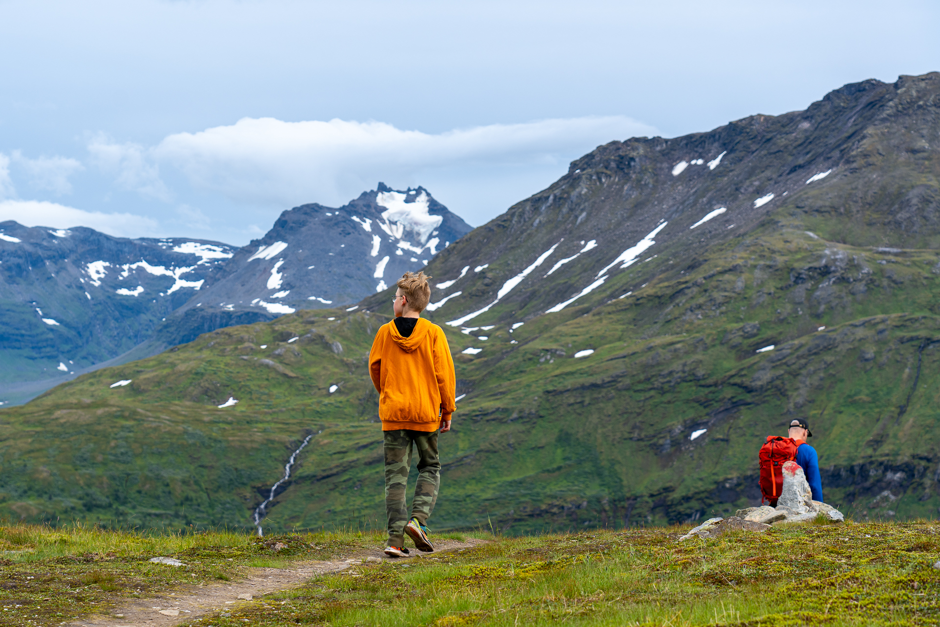
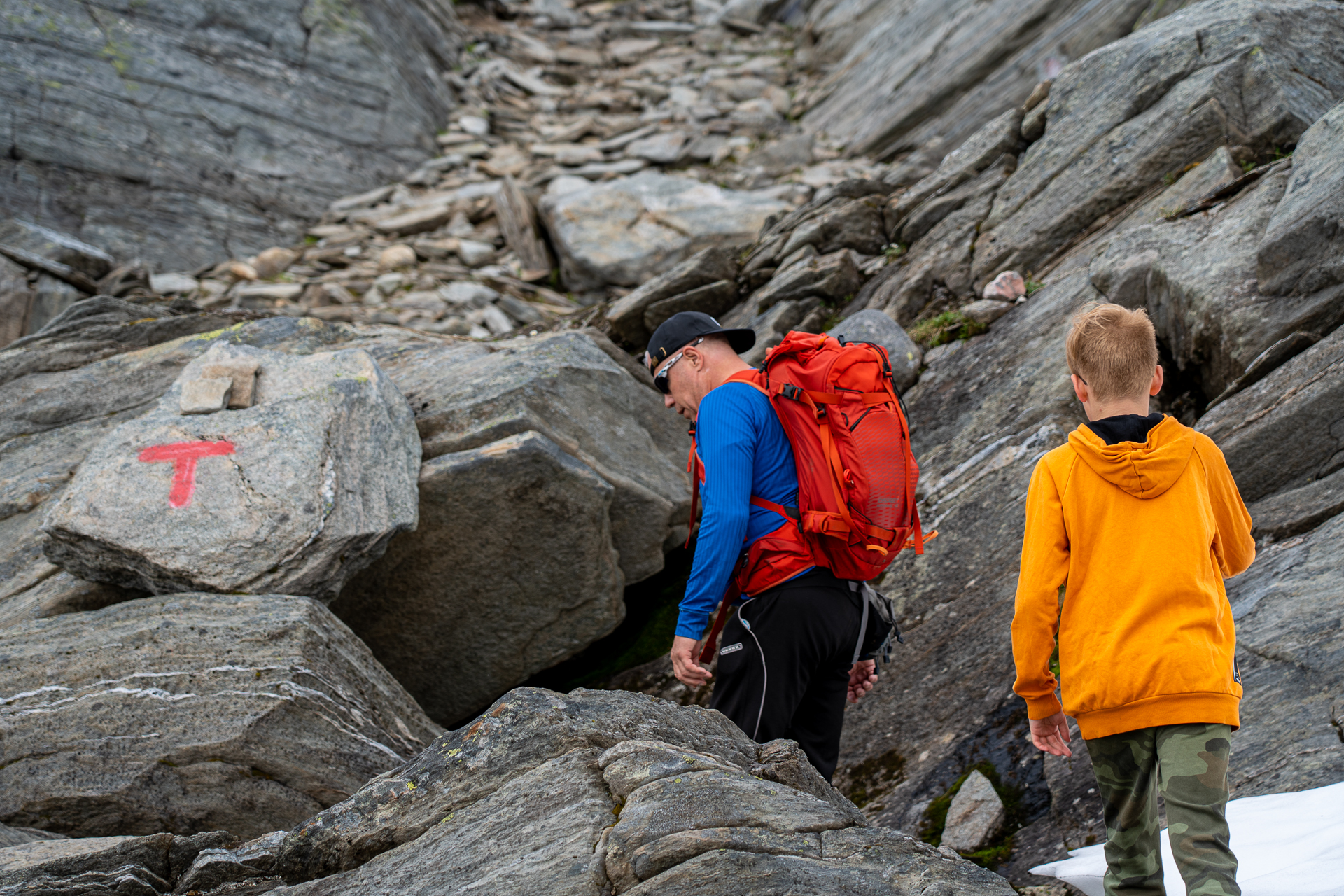
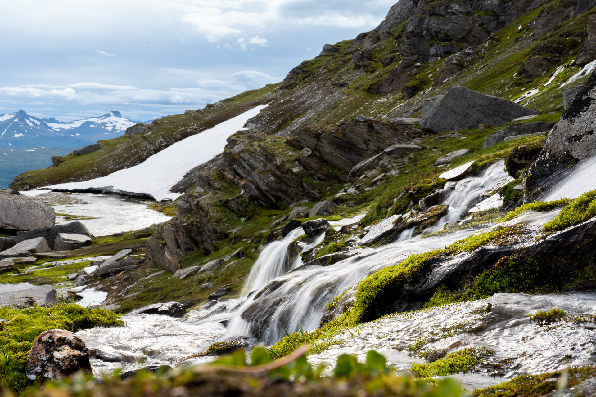
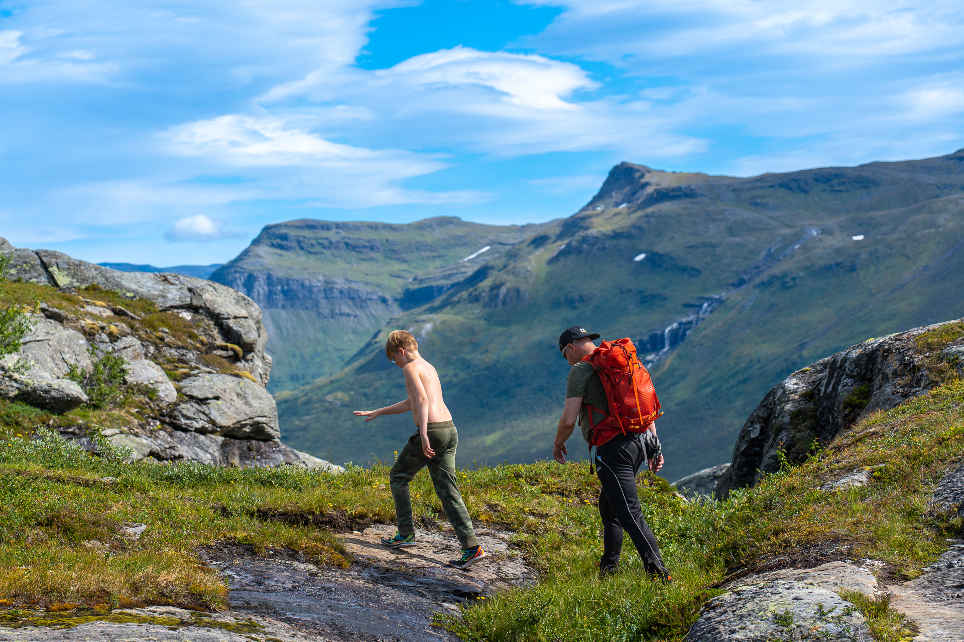
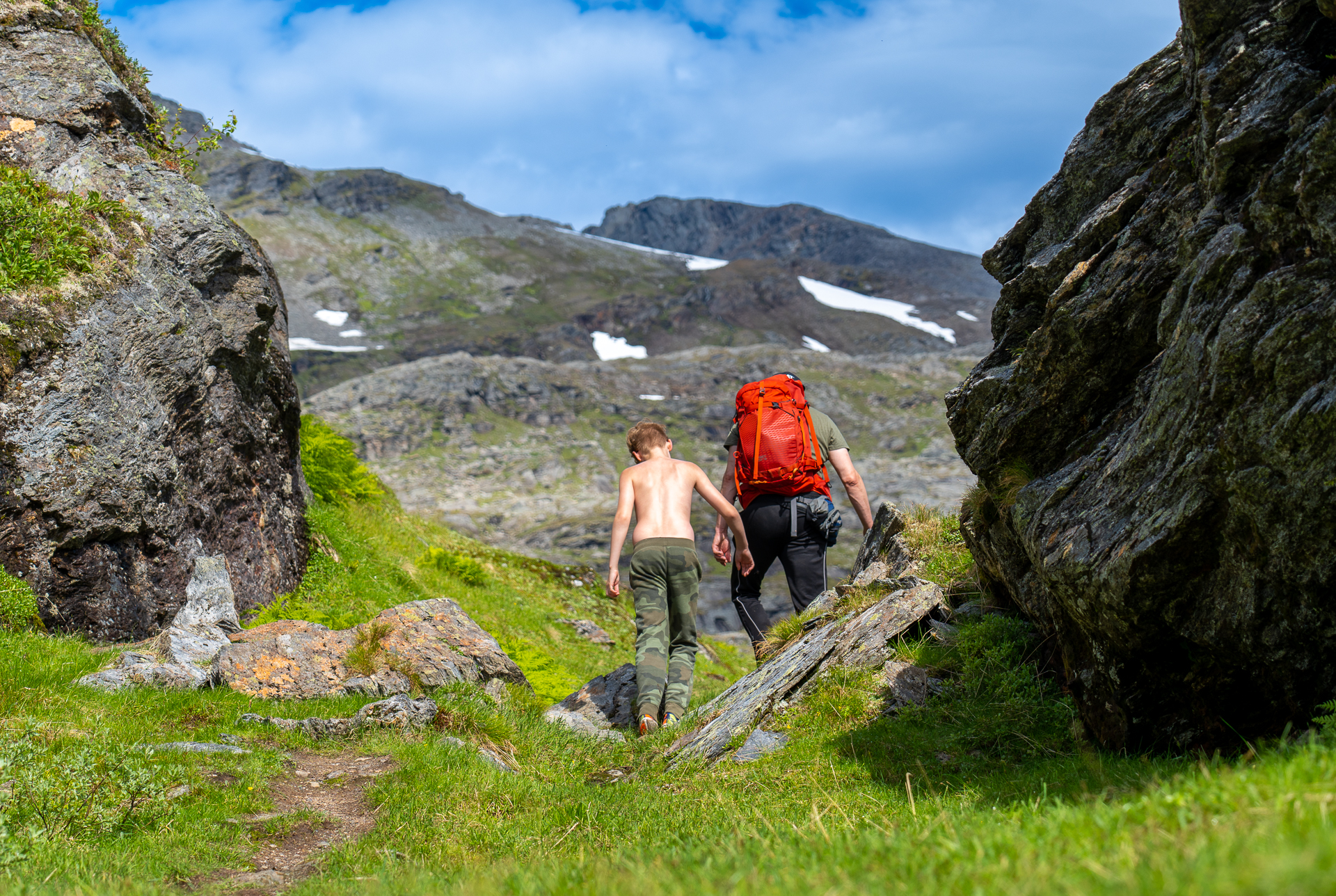
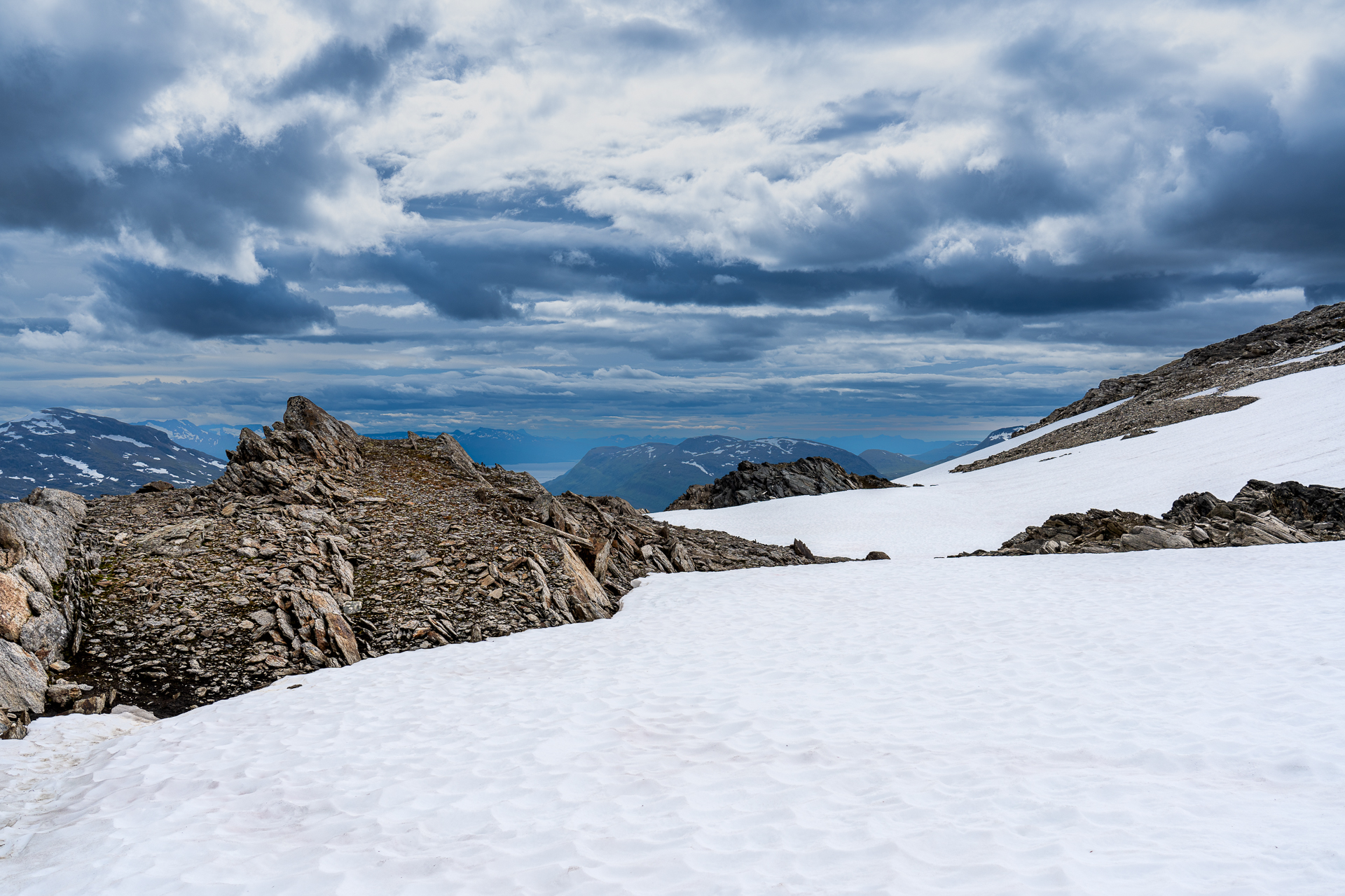
At 900m above sea level, the path turns east before entering the gap between Sølvfjellet and Spanstiden. Here you encounter some snow-covered sections before you embark on the last stage towards the top. The terrain up to the summit follows a good path. The mountain side consists of flat rocks, so it's a good idea to stick to the path so that you don't dislodge rocks.
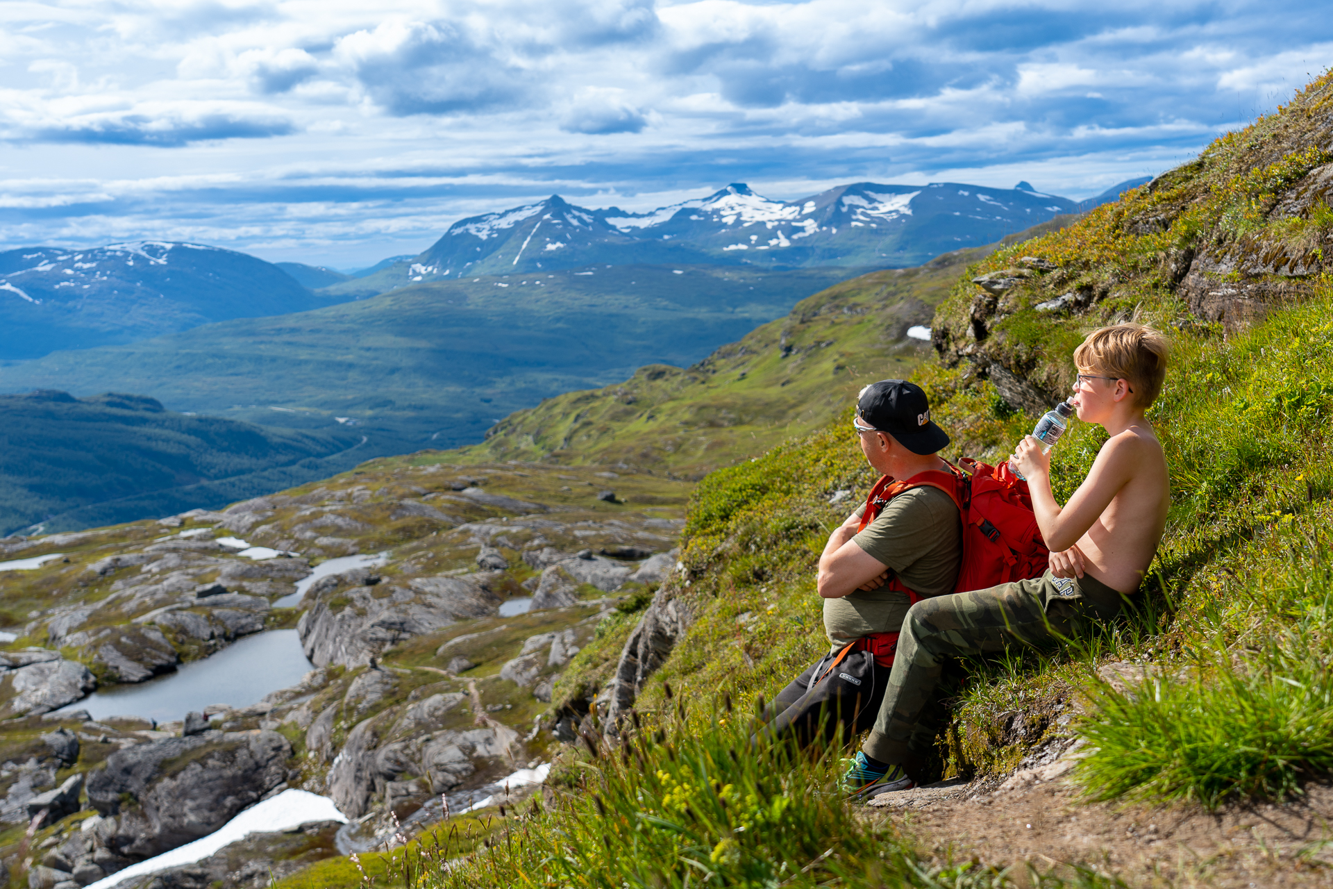
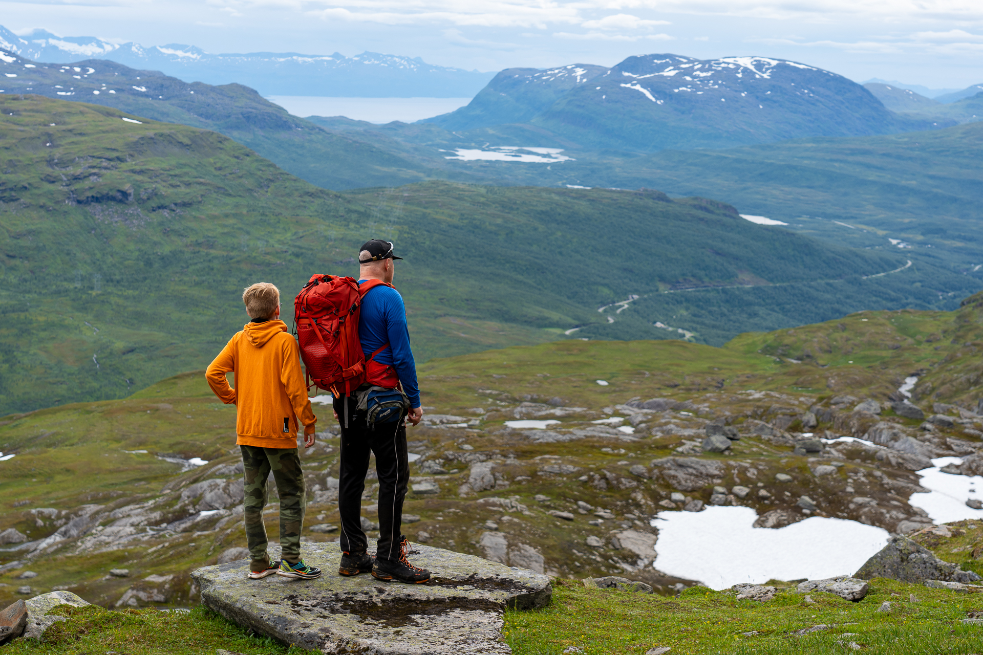
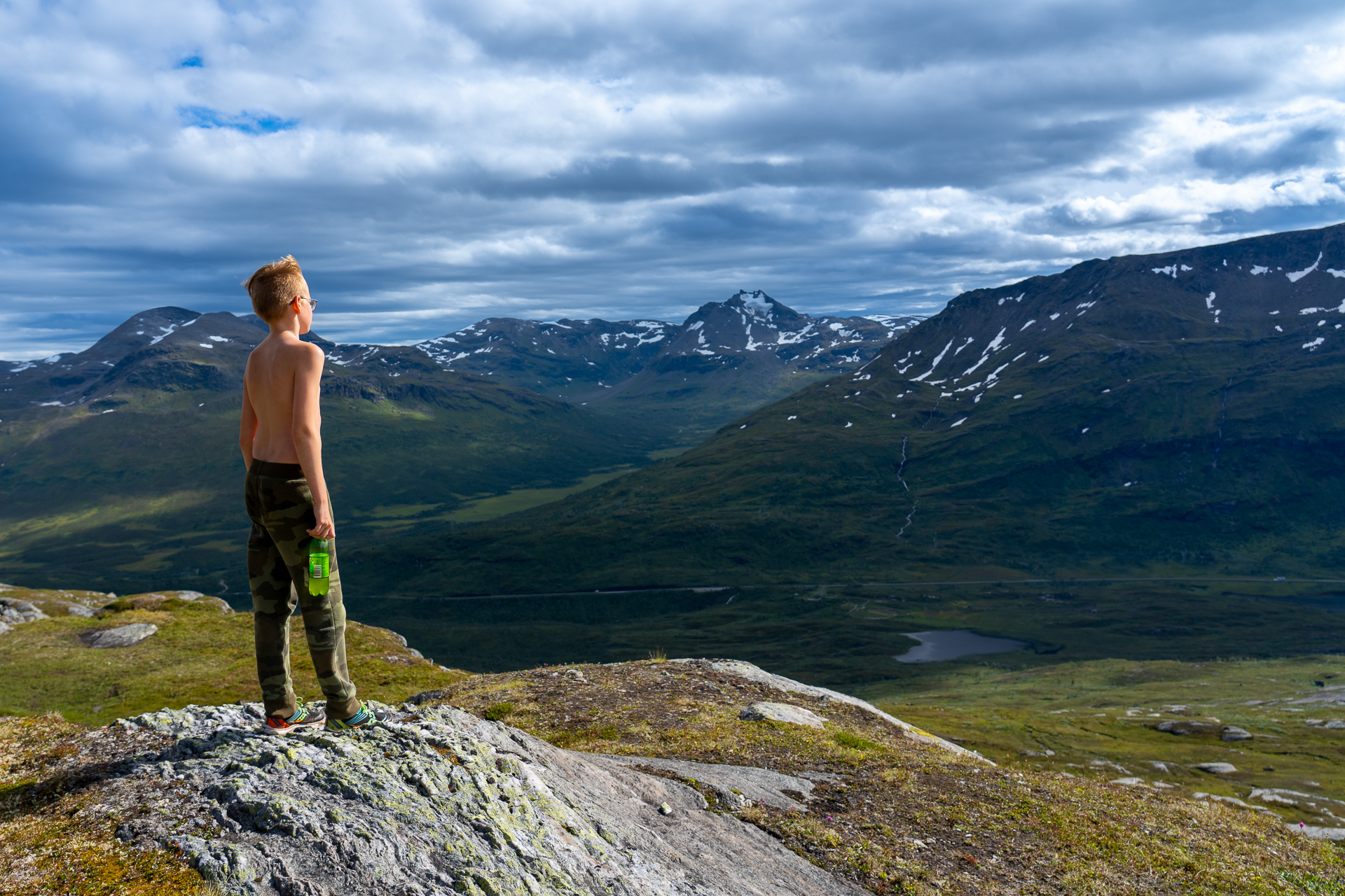
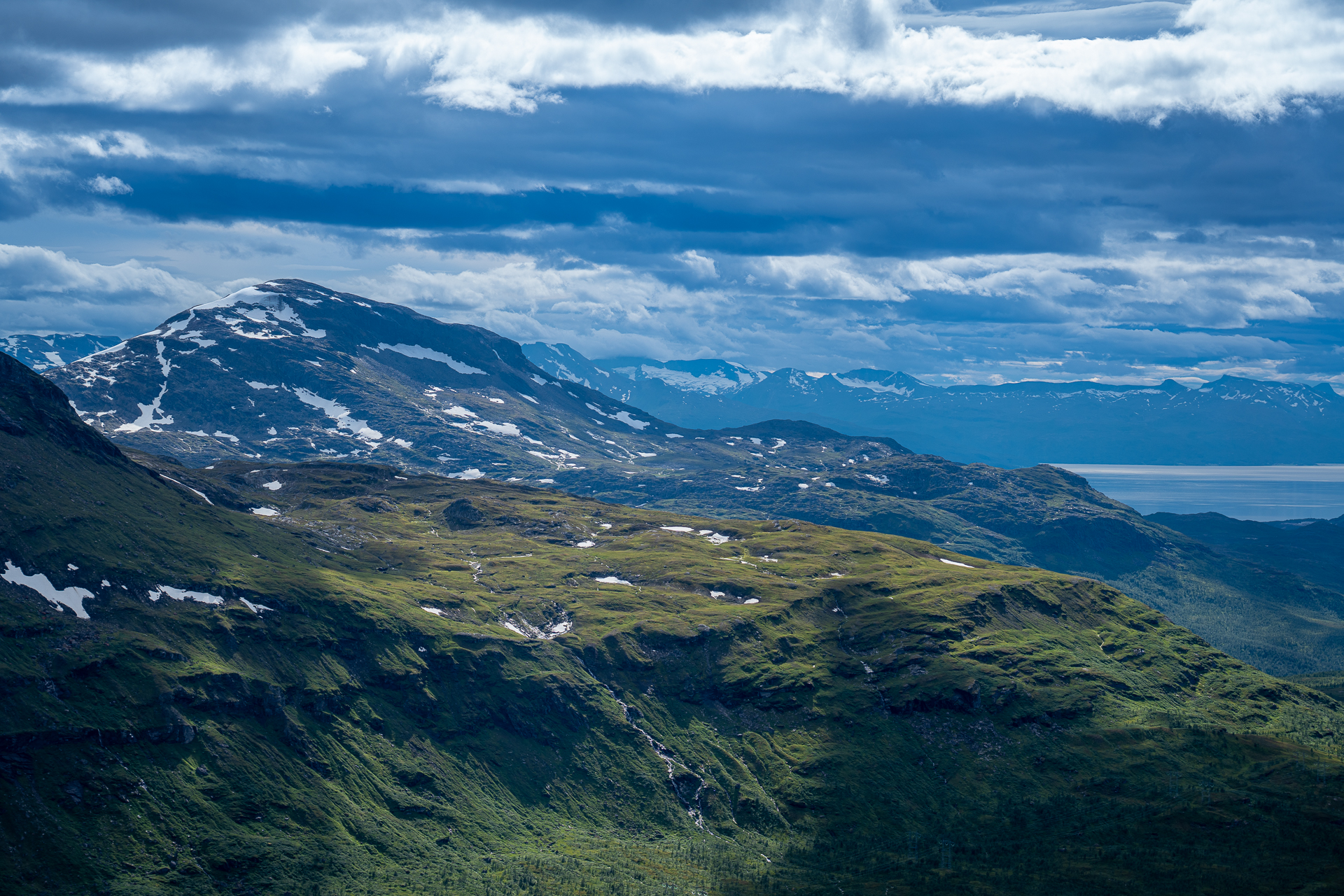
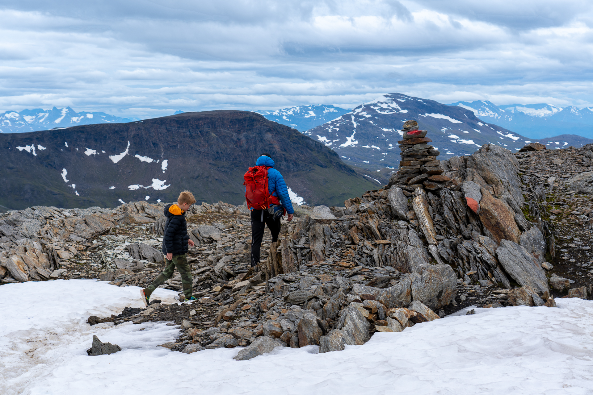
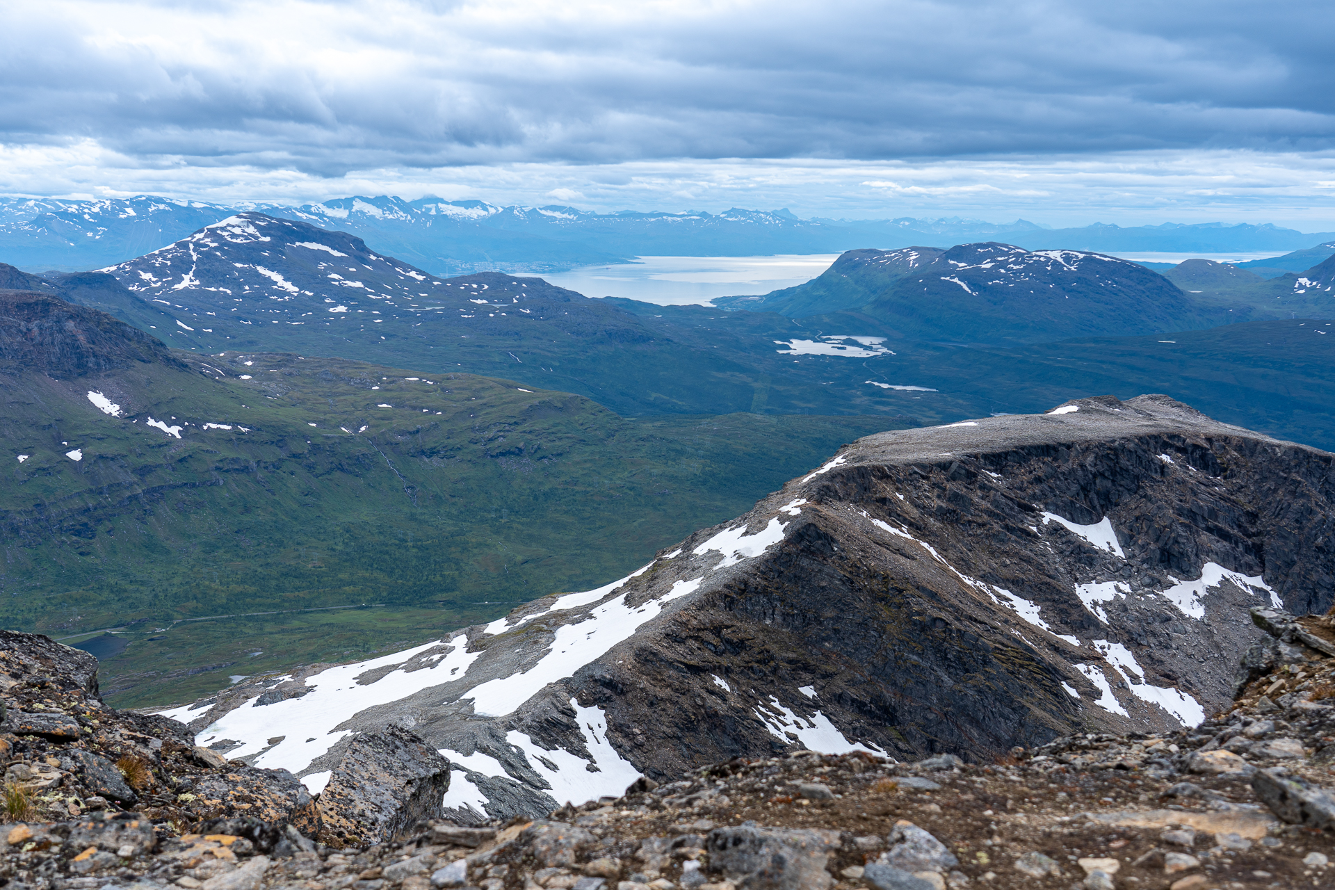
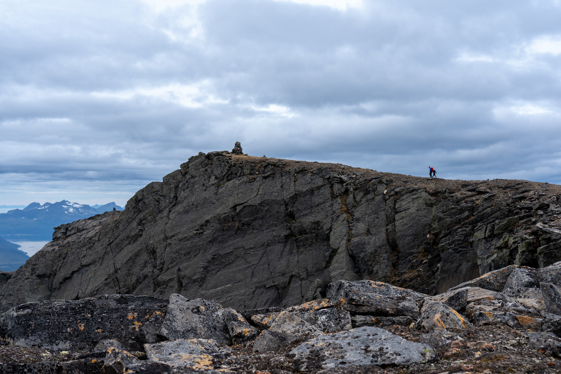
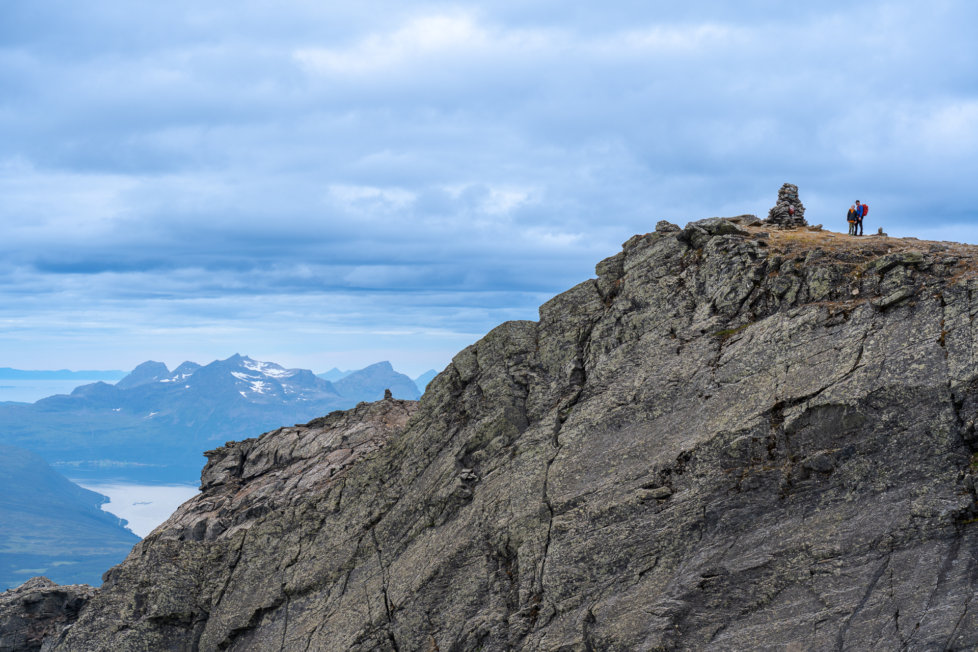
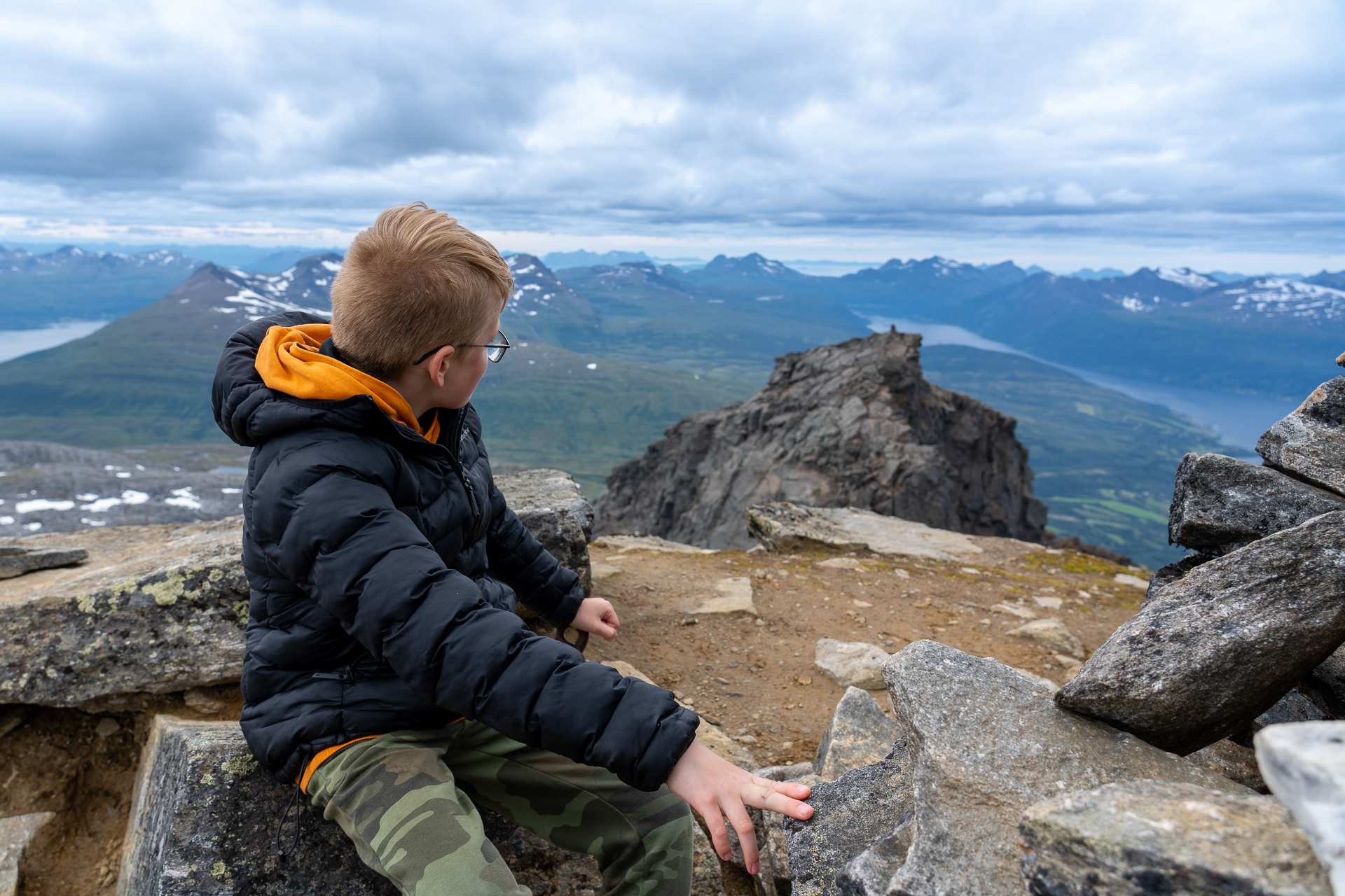
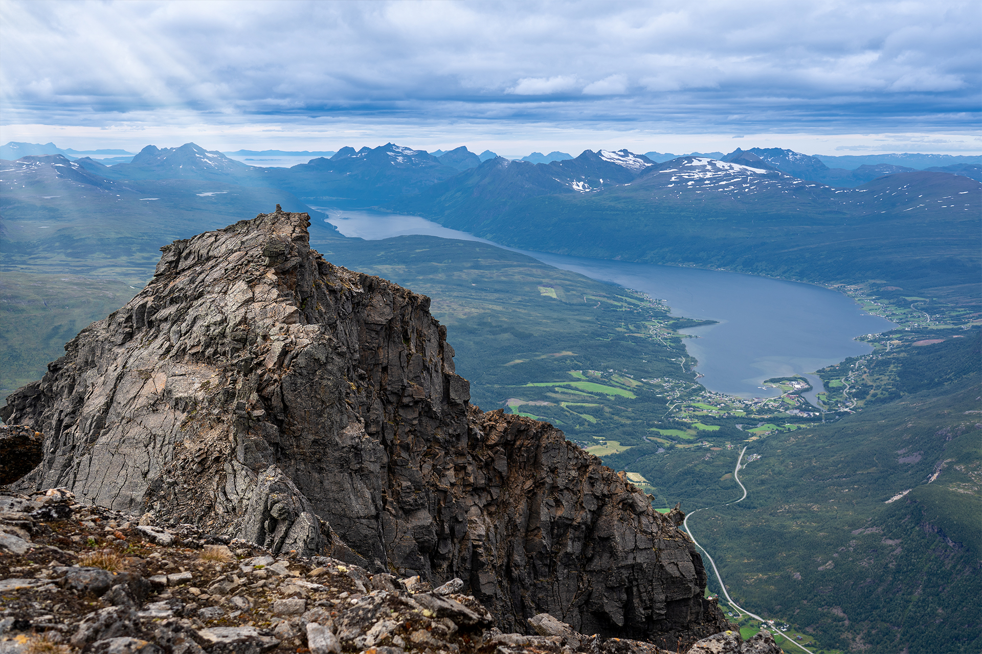
When you reach the plateau, a fantastic view opens up in all directions. From the large cairn at the peak, you can practically view the entire region, Lofoten and far into Sweden. It's easy to get inspired for a new hike when you look outwards. There is something very special about getting up high and looking out over the landscape from close to 1500m above sea level. The mountains you saw from the road were suddenly not so intimidating anymore.
- Marked path from the starting point to the peak
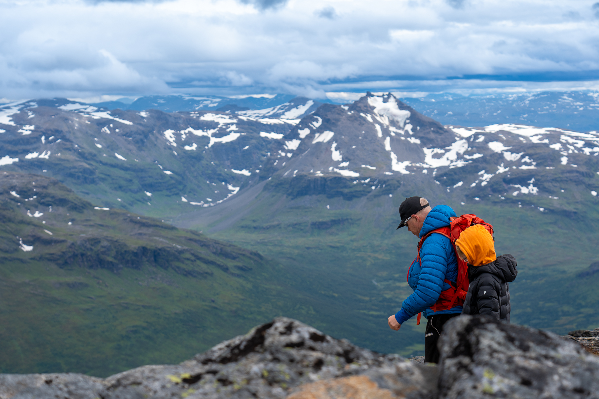
- Suitable for everyone, the elevation of the hike can be a bit steep for children not experienced with hiking
- Fantastic view of the Lofoten, peaks in swedish Lappland and the surrounding mountains and fjords
- Read a mountain weather forecast for your hike. The peak is a wind-exposed location
- The last stage of the mountain consists of flat stacked rocks, so it's a good idea to stick to the path so that you don't dislodge rocks.
- Be careful around the steep top.
- Bring enough water
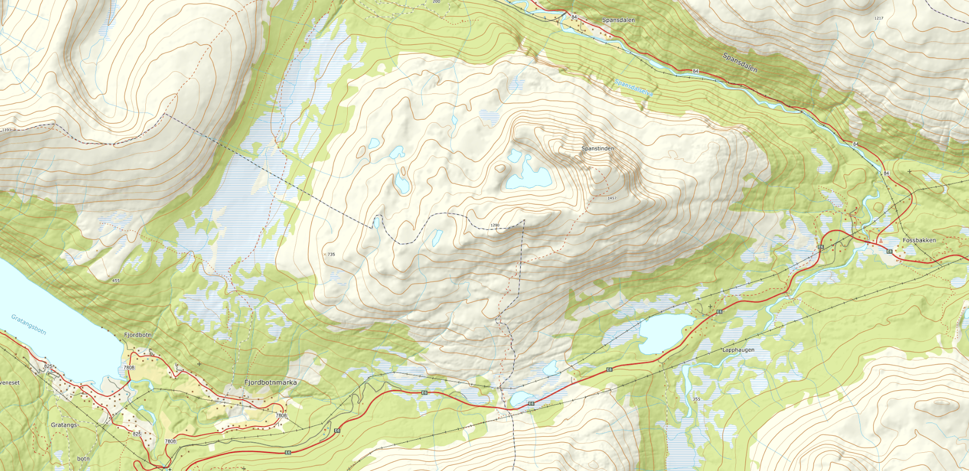
Please note that the maps are intended to give the starting point and approximate direction for the trip. They are not intended for precise positioning. You always have to make your own judgments when you are on a trip in the mountains based on what you see and think.
Practical Information
Spanstiden is located in Lavangen, about half an hour's drive north of Narvik.
Drive north towards Bjerkvik, take the first exit at the roundabout and head north on the E6 about 20 minutes. Exit the E6 between the municipal signs Gratangen/Lavangen and drive onto the old RV50 (on the left when driving north). The starting point is approximately 200 m from the E6.
Good parking possibilities by the information board.
Approximately from February - September.
Medium – Blue grading
Suitable for:
Beginners and walkers of average fitness. For hikers with basic hiking and outdoor skills.
Type of path and terrain:
Similar to green trails, but can have more challenging sections. Can be rocky but no demanding scree. No streams to be crossed.
Altitude metres, maximum trip length:
Elevation difference: less than 600 metres. Max length: 10 km.
Degree of elevation and exposure:
Most ascents are moderate, but can include some steep slopes. Certain sections can be considered precipitous for some.
Inspiration