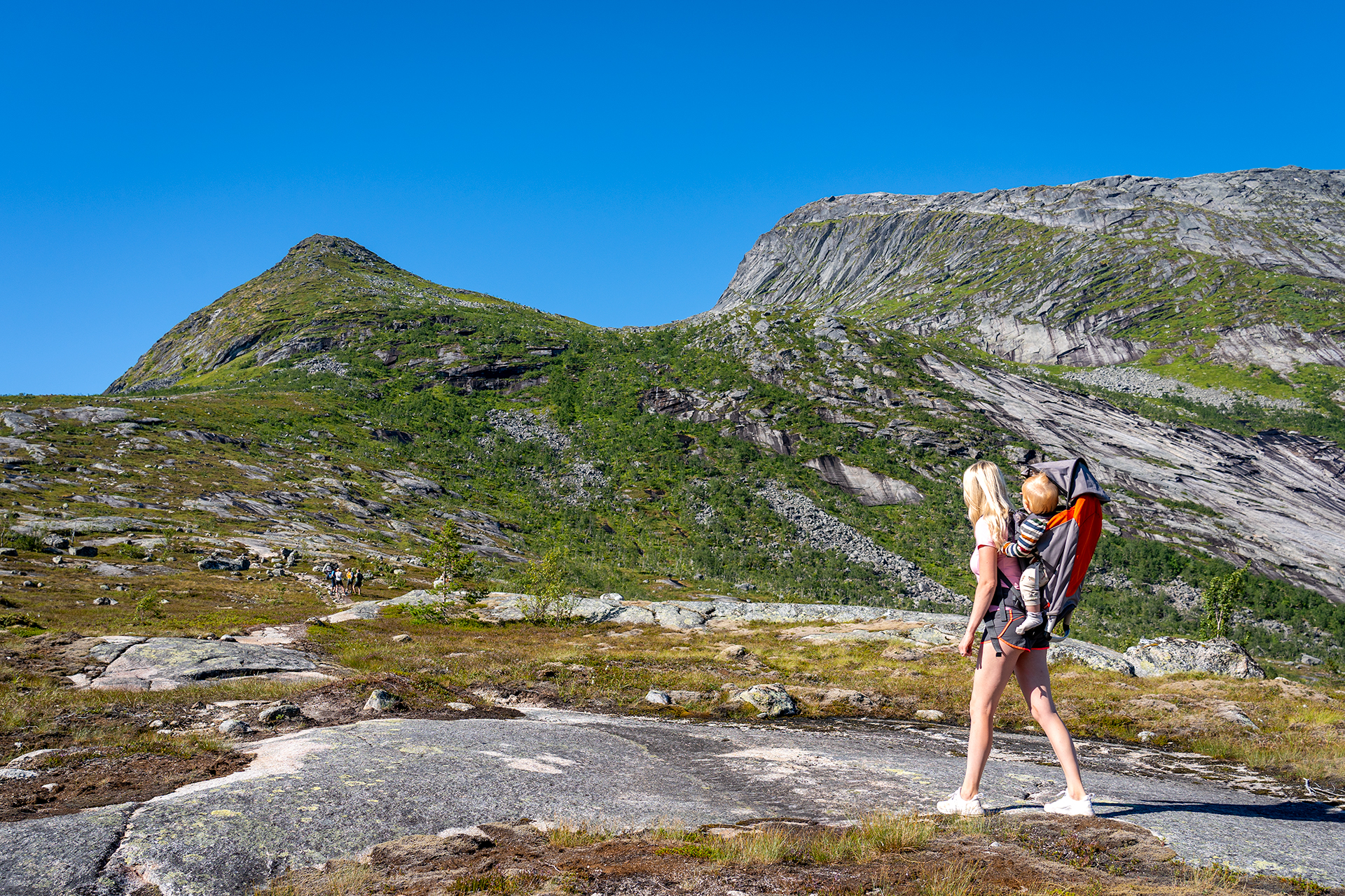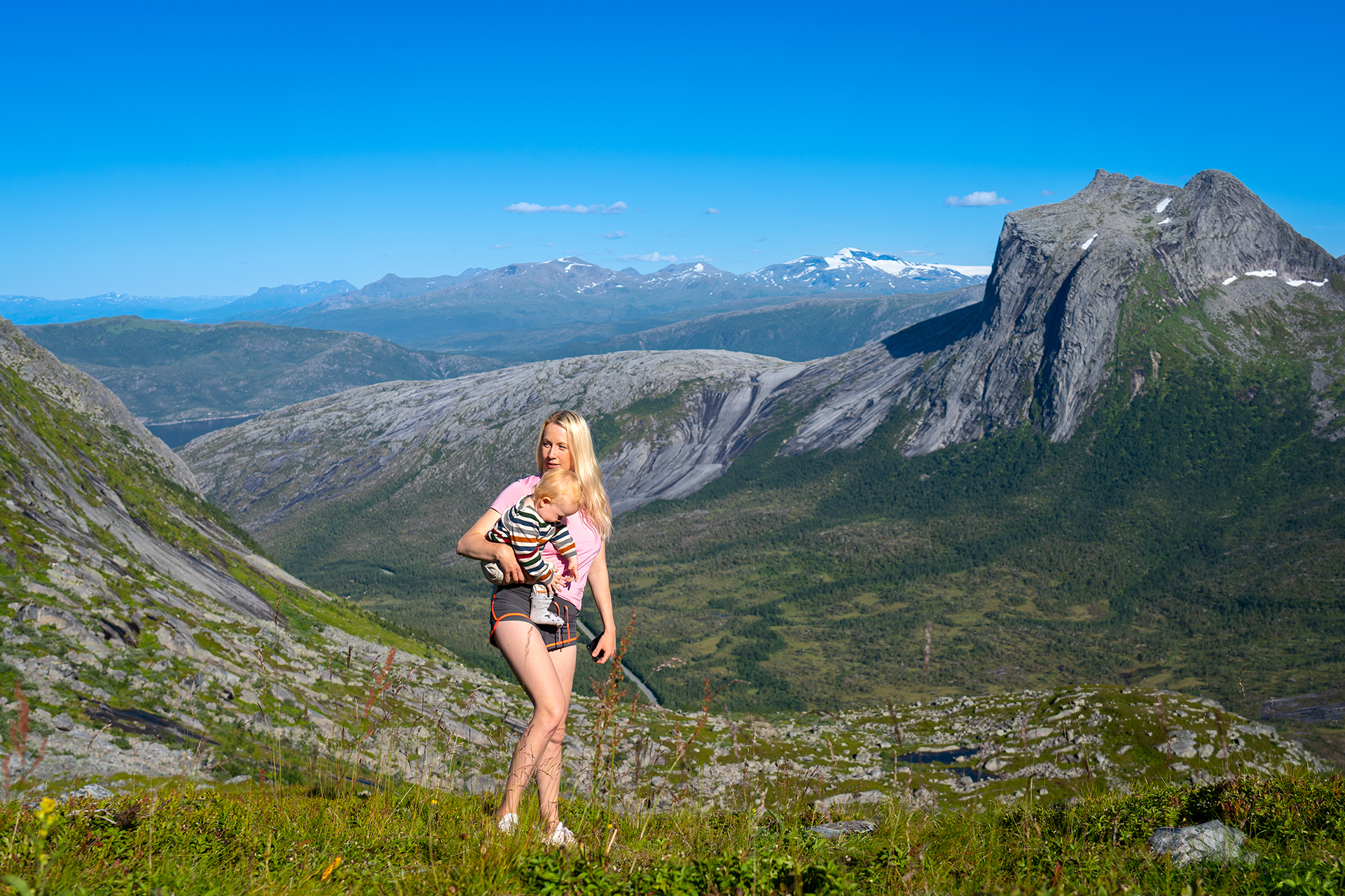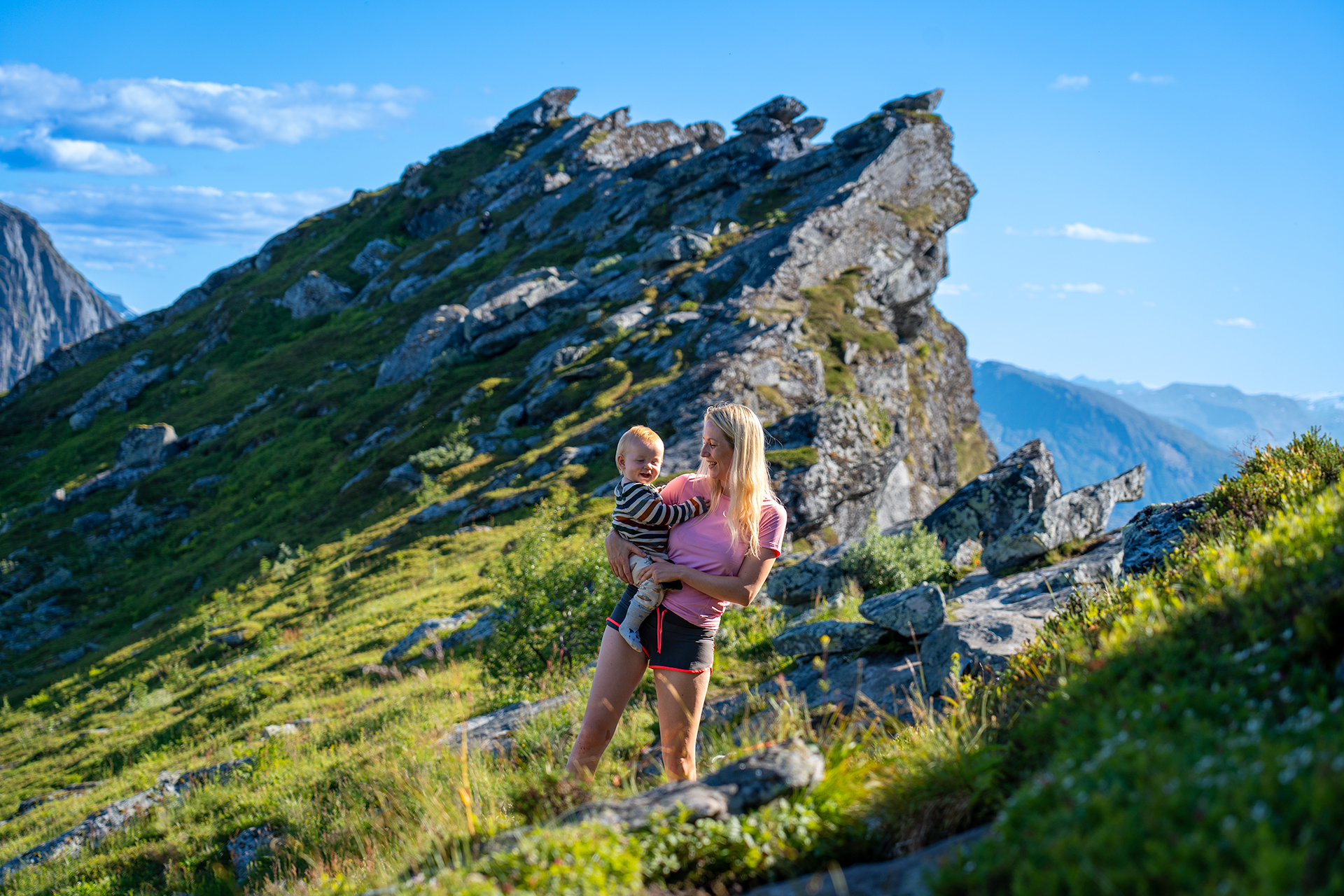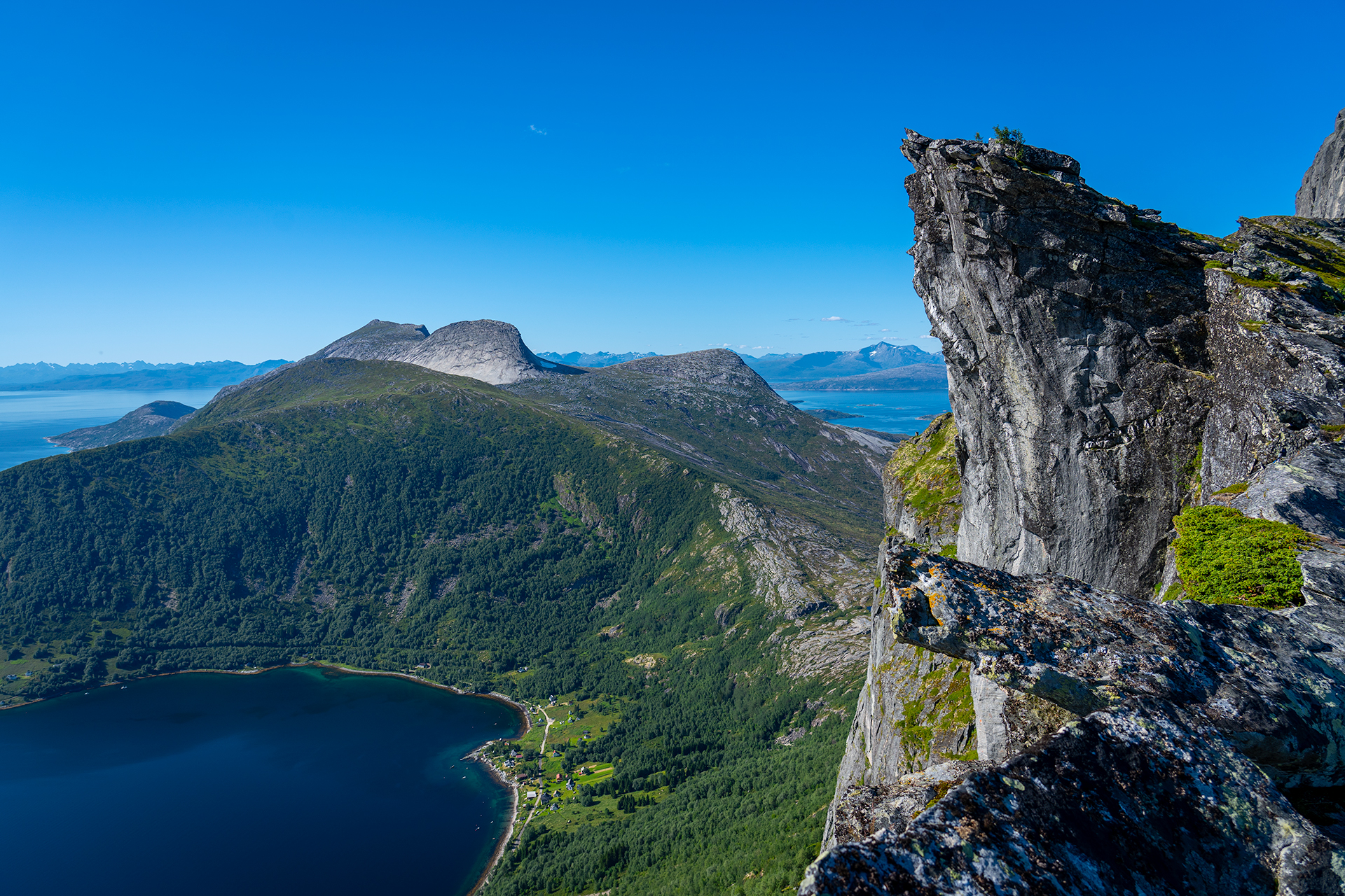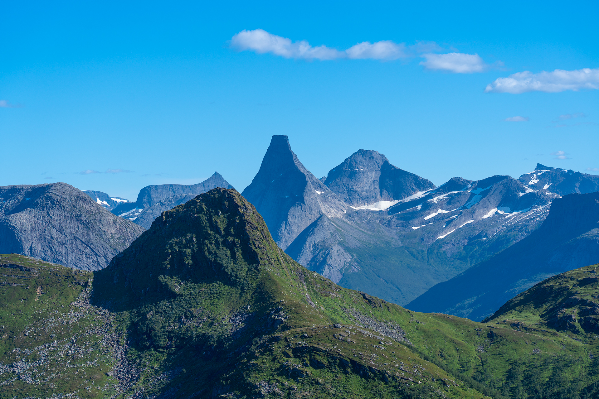


The trip up to Kjerna alternates between hiking straight on polished rocks, and also between smaller stone slopes. The low vegetation gets stuck between all the rocks whenever possible. There is something Tolkein-like about the whole landscape. The vertical wall enclosing the core on all sides creates a unique airy feeling, beside the intimidating view on all sides that you can enjoy from the top. To the left, you will find the Lofoten walls as if they are shooting out from the sea, like a beautiful and shiny white strip, and to the southeast, you will find Stetind guarding its magical kingdom.
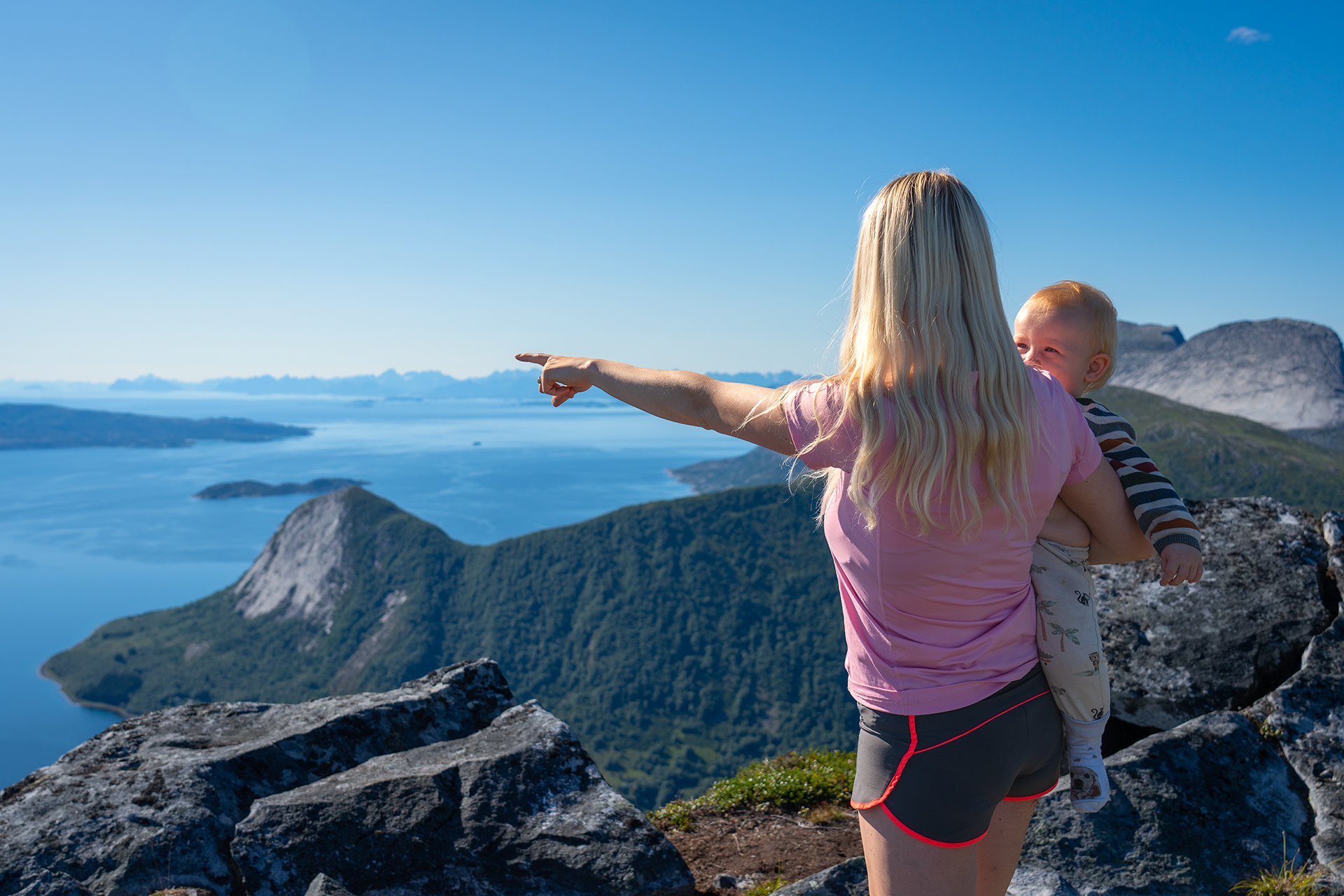
The trip reaches its climax as you move forward toward the edge of the cliff and spot the one little village of Eida beneath, where you will also point out a collection of tiny houses further down in the mountain. The trip is suitable for the whole family, as long as everyone, both big and small, are cautious near the top.
- Marked trail
- Suits everyone, however some parts of the trail can be quite steep
- Great view of Stetind, the Lofoten walls, mountain ranges and fjords
- Be cautious near the top
Please note that the maps are intended to give the starting point and approximate direction for the trip. They are not intended for precise positioning. You always have to make your own judgments when you are on a trip in the mountains based on what you see and think.
Practical Information
Distance from the town of Narvik: about an hour south of Narvik on the E6.
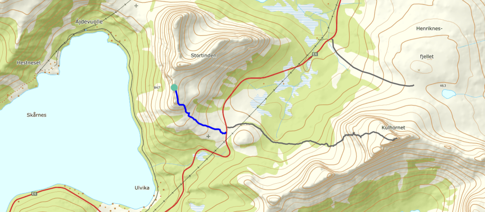
Access: Drive E6 to Skjellesvikskaret and park in the upper parking lot at the left side of the road as you head south.
Drive E6 to Skjellesvikskaret and park in the upper parking lot at the left side of the road as you head south.
The trail starts on the other side of the road where you park, as you follow the markings along the back towards Kjerna. The path is somewhat broken up and has some parallel runs. You have to follow the line, up against the little slope at the bottom of Kjerna. Then you follow the left side of the slope before you turn right at the top of the slope. After that, you follow the direction towards the small water which will find place in front of you, before turning left, up to the top at a small headstone which will meet you about 200 meters before the water. A few hundred meters further up the path take you toward a large rock and turns up towards the "Pulpit".
Medium – Blue grading
Suitable for:
Beginners and walkers of average fitness. For hikers with basic hiking and outdoor skills.
Type of path and terrain:
Similar to green trails, but can have more challenging sections. Can be rocky but no demanding scree. No streams to be crossed.
Altitude metres, maximum trip length:
Elevation difference: less than 600 metres. Max length: 10 km.
Degree of elevation and exposure:
Most ascents are moderate, but can include some steep slopes. Certain sections can be considered precipitous for some.