






Spanstinden in Lavangen
Highlights
- Experience a marked mountain hike from Bukkemyrvatnet to the top of Spanstinden
- Follow a varied route over marshes, mountain ridges, gorges and rocky peak terrain
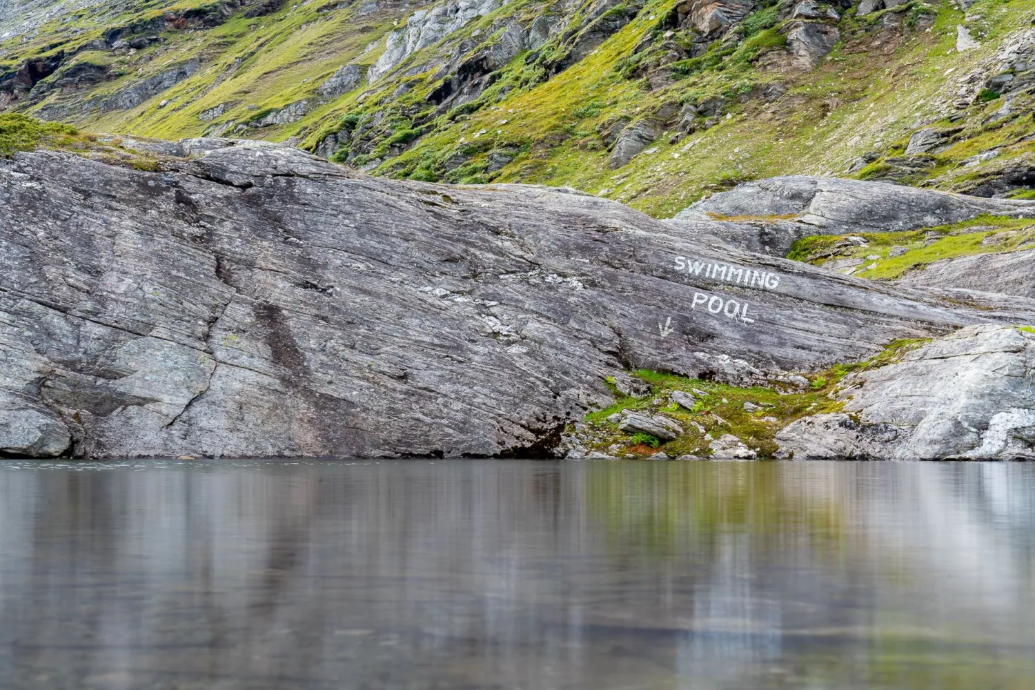
- Take a break at well-known stops such as "BASECAMP" and the water marked "Swimming pool"
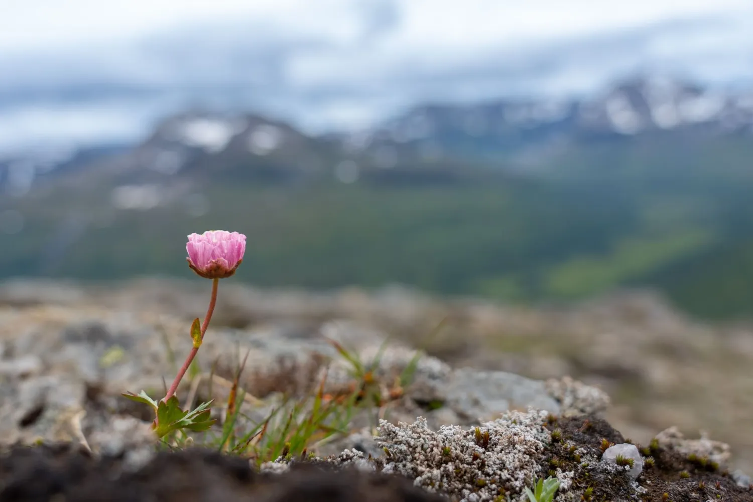
- See streams, small waterfalls, mountain flowers, and snow-capped peaks along the way
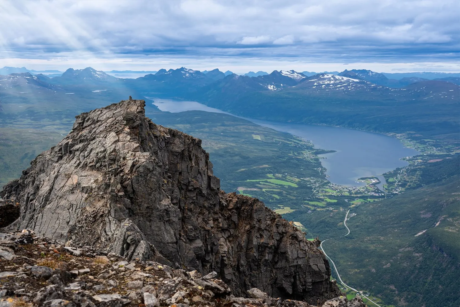
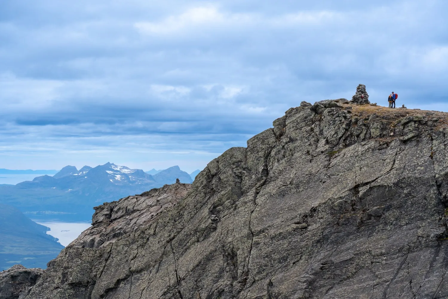
- Enjoy views from the summit cairn towards the region, Lofoten and far into Sweden
Description
Spanstinden is a mountain hike for those who want to be high up in the landscape. The peak is located at 1457 meters above sea level and is the highest in Lavangen municipality. The starting point is already high at Bukkemyrvatnet, which means that you quickly enter open mountain terrain and get the view early on in the trip.
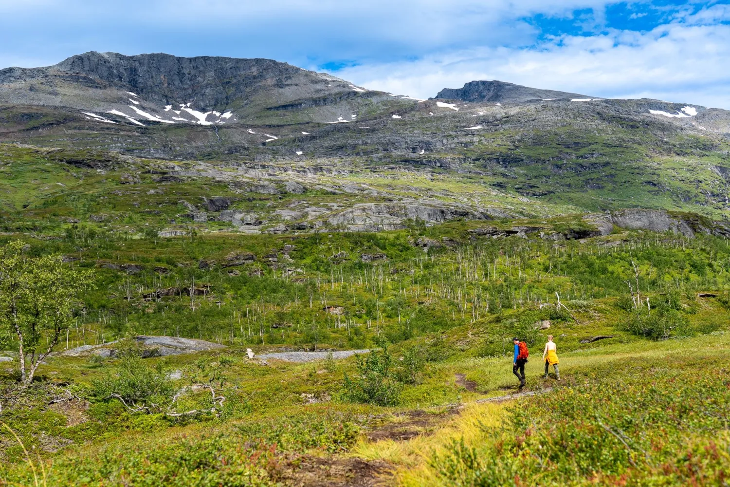
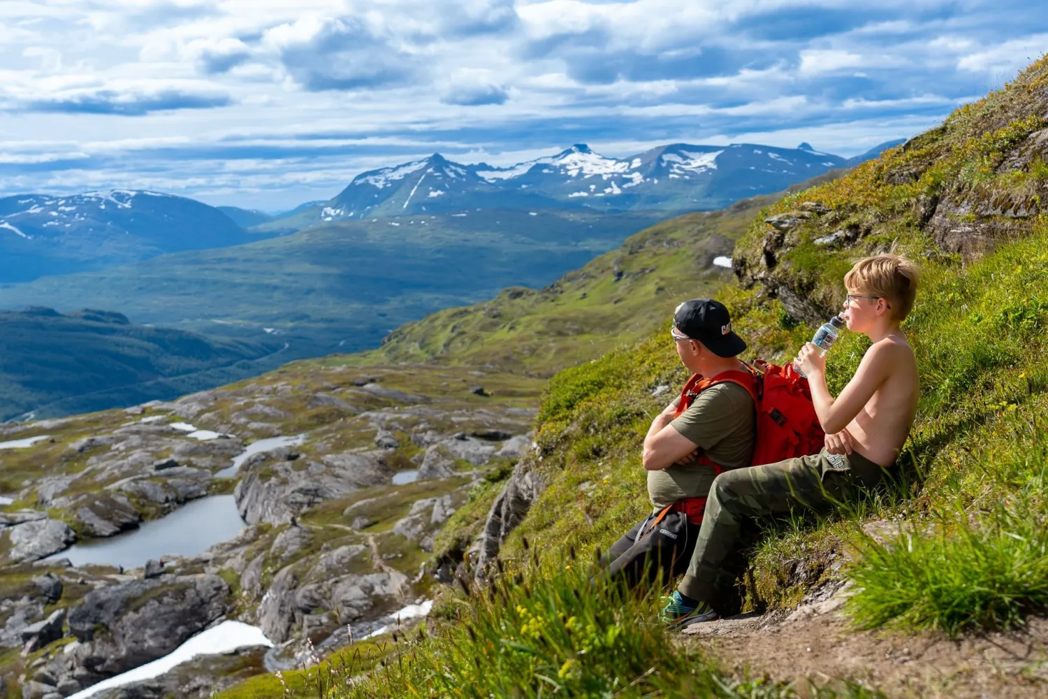
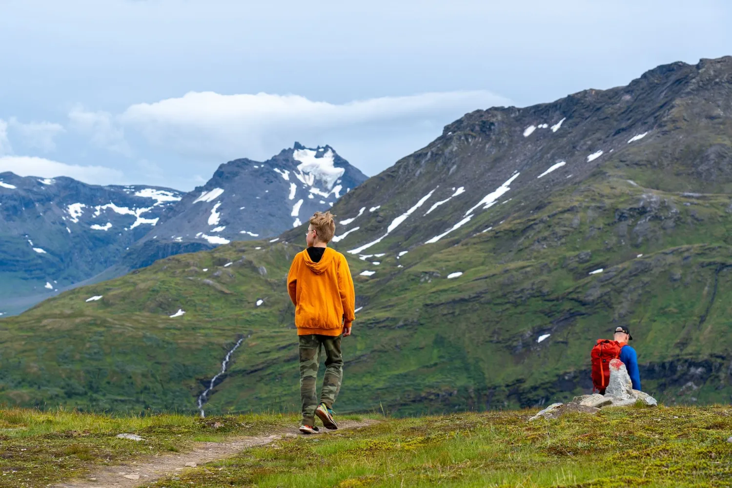
The tour starts at the information sign in the parking lot at Bukkemyrvatnet. The first part goes gently over Bukkemyra, where there can be wet sections. Klopper makes the passage easier, but good hiking boots are still important. Further, the trail rises steadily upwards towards Sølvfjellet, with several natural places to stop for a breather, eat and look back at the landscape you have left behind.
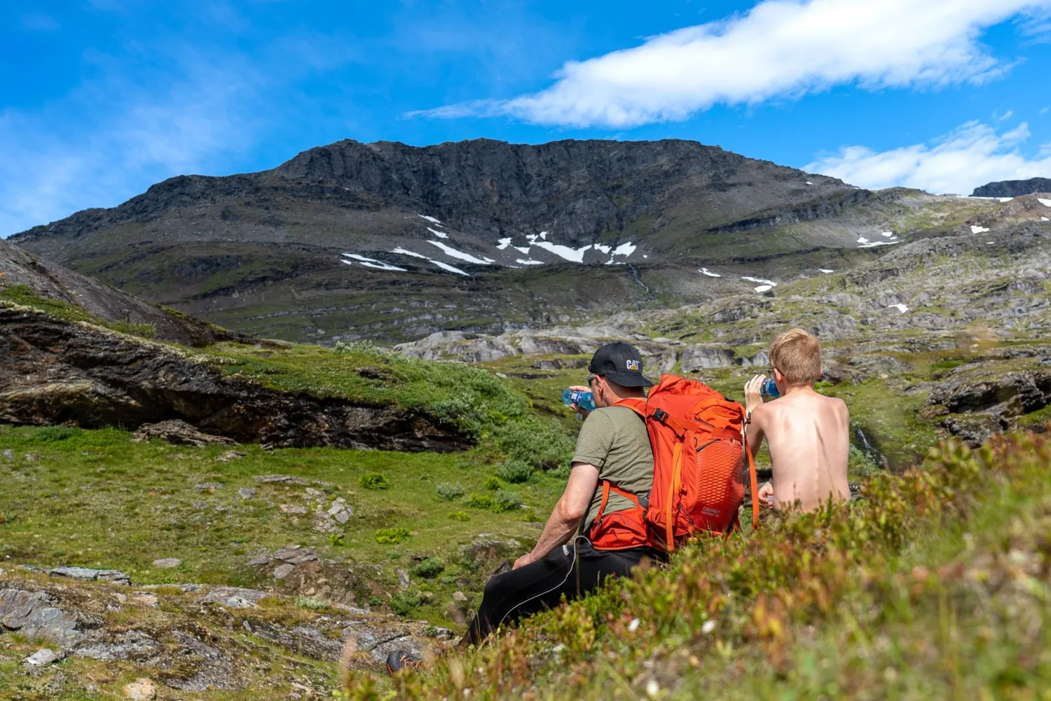
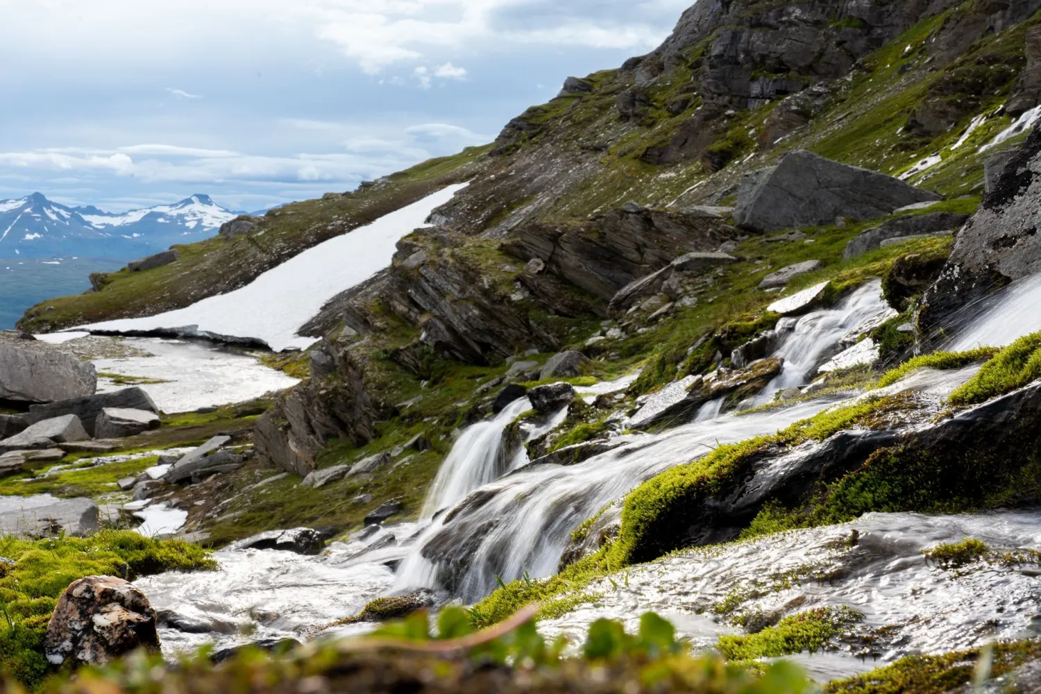
Along the way, you will pass marked stops such as "BASECAMP" and the water at the "Swimming pool". Here the mountain opens up with many streams, small waterfalls, mountain flowers, rock formations and peaks in the background. This gives the trip more than just altitude meters, you move through a magnificent mountain landscape with many small details along the route.
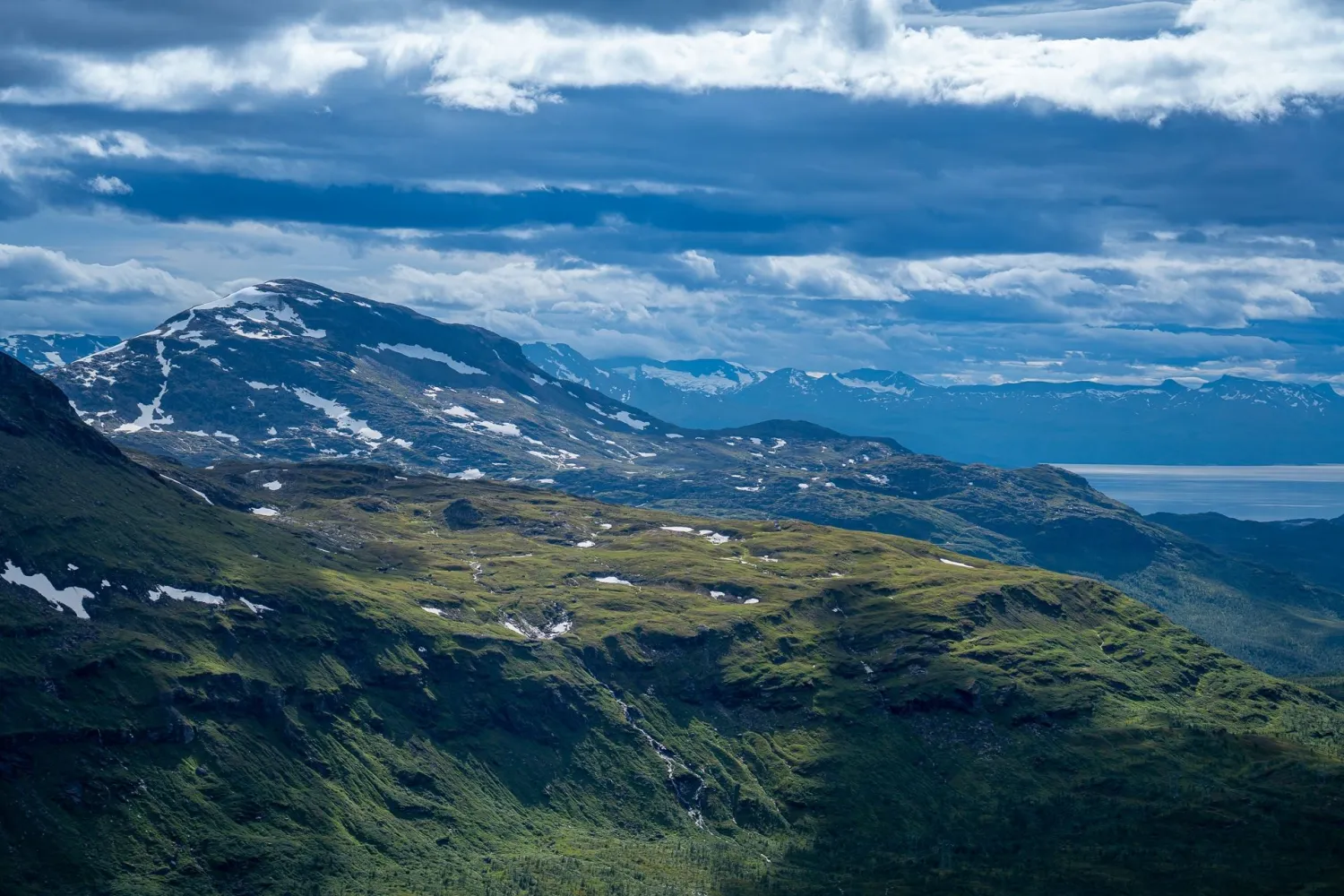
At around 900 meters above sea level, the trail turns east and enters the gorge between Sølvfjellet and Spanstinden. There may be snow patches here, even in the summer season. The last part towards the top goes in steeper and more rocky terrain. Stick to the marked path, both for your own safety and to avoid loosening stones. At the top, you will encounter a large cairn and an open view in all directions. From here you can see large parts of the region, out towards the Lofoten mountains and far into Swedish Lapland.
More information
- The hike is 6.5 km to the summit and 13 km round trip.
- Total ascent is 1060 meters.
- The peak is located at 1457 meters above sea level.
- Duration is stated to be approximately 5 hours.
- Difficulty level is stated as demanding / red
- The season is approximately June to September.
- The trail is marked from the parking area at Bukkemyrvatnet to the top.
- The first part goes over marshes with wet areas, but parts of the path are paved.
- The last part towards the top is steeper and rockier.
- There may be snow sections at high altitudes.
- The top is wind-exposed. Check the weather forecast before you go.
- Stick to the path on the mountainside up to the top to reduce the risk of loosening stones.
- Use caution near the edge of the top.
- Fill up with water before the last climb, and bring enough water for the entire hike.
- The trip is suitable for dogs, but dogs must be handled according to the conditions in steep and rocky terrain.
- The trip is not suitable for small children without mountain experience.
- Public transportation is not available.
- Toilets and other facilities are not available at the starting point.