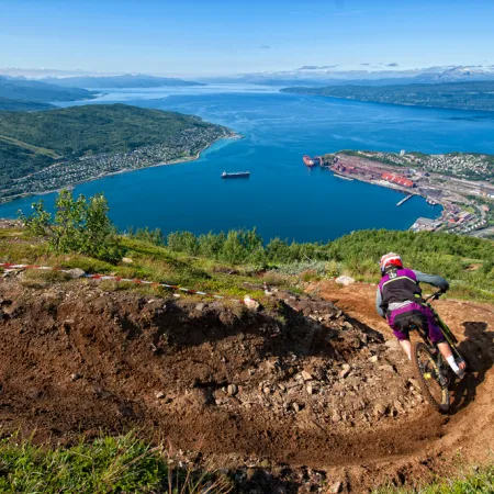


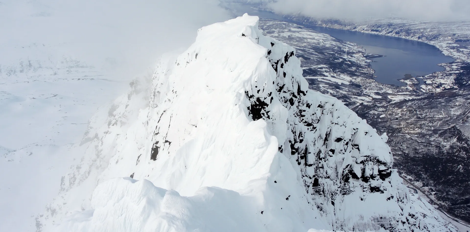
Rombakstøtta is the signature mountain of Narvik and is easily recognisable from the city. The mountain has a characteristeic pyramidelike shape, which has given it its nickname of ”Narvik`s Matterhorn”. Tøtte means girl in the local dialect and this lady towers above the fjord of Rombaksfjorden, which has given her the name; Rombakstøtta.
There are several possible routes to the summit of Rombakstøtta, and even more for the ski down. Among other alternatives, you can do a roundtrip from the top of the ski resort that involves a tour to the summit Rombakstøtta, but the most common way is to go from Djupvik, just a 10 minute drive from the city centre.
The tour first goes through a fairly dense forrest that might be a bit difficult to navigate, but it soon becomes more open and manageable. After about 200 meters of climbing one will have reached the small lake of Pumpvatnet. From here you cross the lake and continues southwards to the small valley named Tøttadalen. When you have reached the treeline, contiune on through a wide and gently angled colouir coming down from the small lake called Isvatnet, situated between Rombakstøtta and the neighbouring mountain, Beisfjordtøtta. At the end of the coulouir, at about 800 meters elevation, you continue on eastwards underneath the south face of Rombakstøtta, towards the summit ridge. To reach the ridge you will have to pass through some slopes that are about 30 degrees steep. When you have reached the ridge, continue on towards the northwest to the summit. To reach the summit proper, you will have to pass through and over some short, steep sections. Right before the summit there is a short section you will have to climb on your feet where, depending on the conditions, an ice axe might be handy. When you have reached the summit, you can enjoy the amaxing view towards the fjord beneath Rombakstøtta and the surrounding mountains.
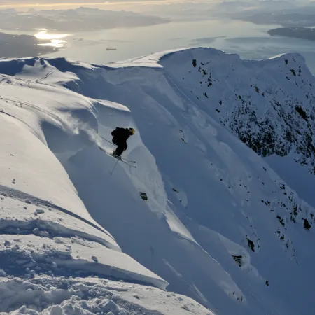
There are several possible alternatives to ski down from Rombakstøtta, but almost all of them involved steep and exposed terrain and the most common choice is to ski the same way as the normal way up.
Driving distance and time from the city of Narvik: Approximately 10 min. and 8km
Parking: At Djupvik. Drive along the old E6 to the north of the city. After about 6 kilomteres take the exit towards Djupvik, then take the second exit to the right and drive to you reach a turnpike. Park here.
Duration: Approximately 6hours
Elevation: 1100 meter