






Norddalsbrua by the Ofoten Line
Highlights
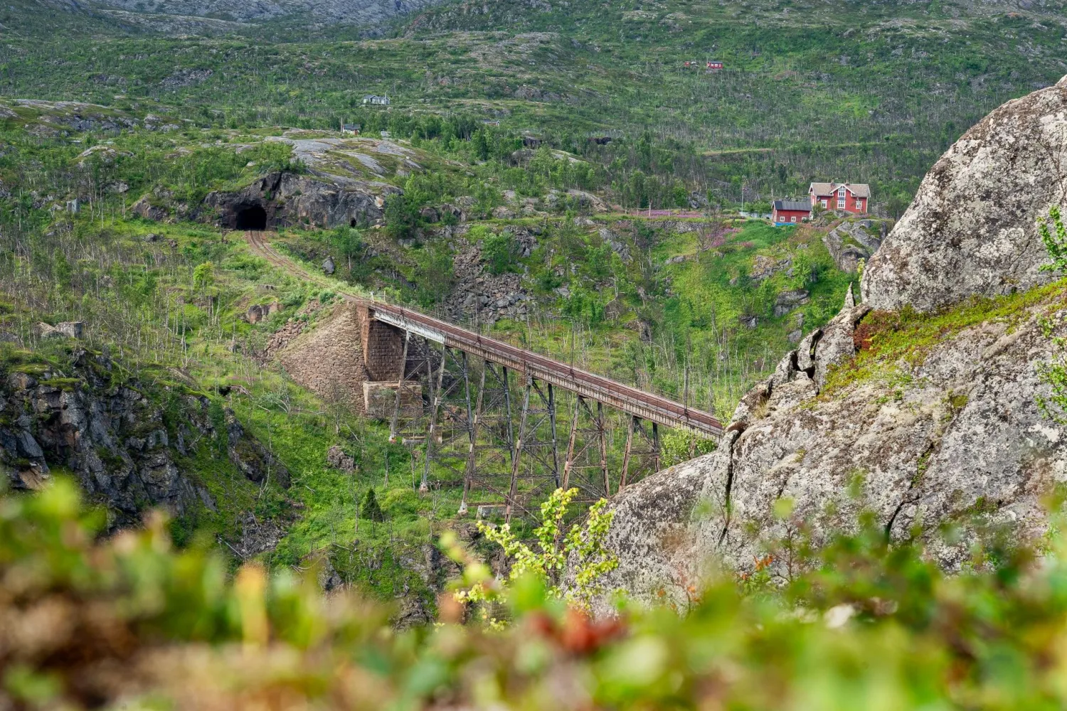
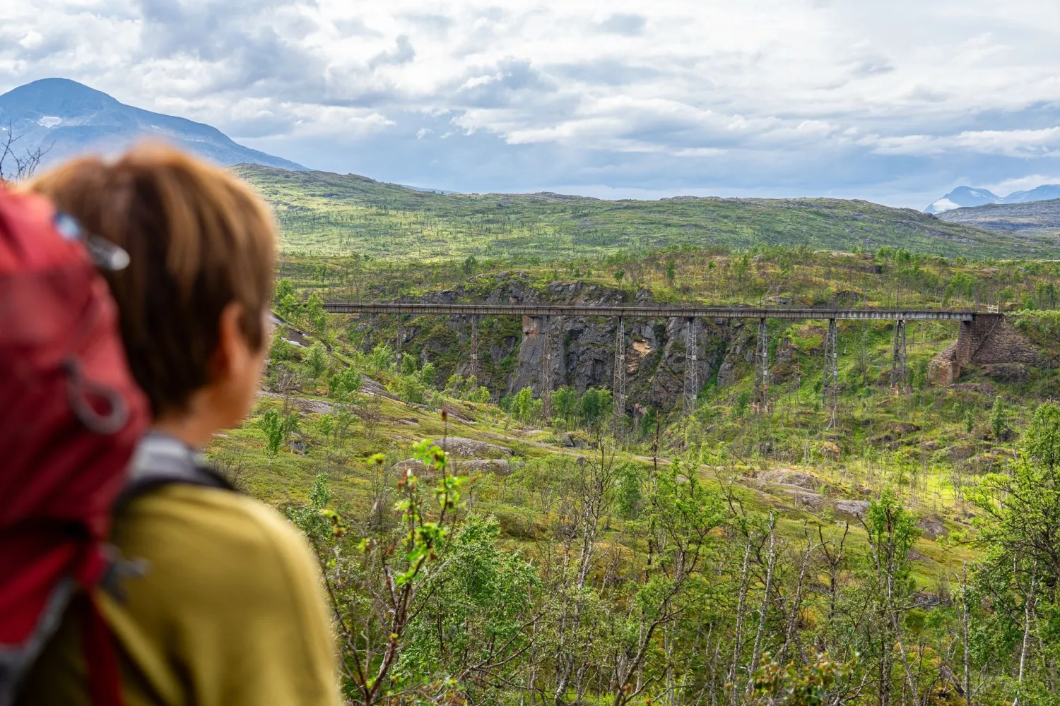
- Experience a 180-meter long steel bridge that towers over Norddalen's gorge
- See a technical heritage site from the early history of the Ofot Line
- Learn about the bridge's role during the Battle of Narvik in April 1940
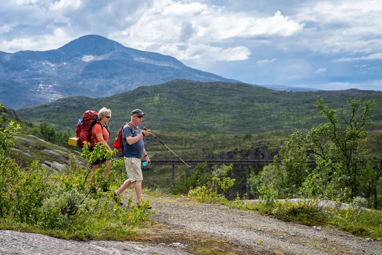
- Follow the Navvy Road to a marked lookout point by the bridge
- Explore is a raw cultural landscape with steep mountainsides, waterfalls and railway history
Description
The Norddal Bridge towers high above Norddalen, where the Ofoten Railway follows a raw and steep landscape east of Narvik. Here, railways, mountains, steep mountainsides and the story of how Narvik was built as an ore town and hub meet.
The bridge was put into use in connection with the opening of the Ofot Line in 1902. The Ofot Line was built to transport iron ore from the Swedish ore fields to the ice-free port of Narvik, and the Norddal Bridge became part of this demanding railway line between the fjord and the sea. The bridge was constructed in Germany, transported in parts up Norddalen and assembled in a short time. With its 180 meters in length and up to 40 meters above the valley floor, it was a central part of the line until 1988.
The Norddal Bridge was also built with a military function. The Armed Forces demanded a larger bridge on the field that could be blown up if enemy forces invaded the country. During the Battle of Narvik in April 1940, Norwegian forces attempted to blow up the bridge, but the damage was limited, and the Germans repaired it shortly after. In this way, the bridge became a symbol of Norwegian resistance, immortalized in the war drama on Netflix; Narvik.
In 1988, part of the Ofot Line was given a new route past the old bridge. Today, Norddalsbrua is preserved as a technical cultural monument. You can experience the bridge from Rallarveien, where a nice and wide old construction road leads to a marked lookout point. For many, the bridge is a strong symbol of Narvik's war and industrial history, and of the navvies who built the railway in a harsh and weather-exposed terrain.
More information
- The bridge is closed to traffic. Do not climb over barriers or go out on the bridge.
- It is dangerous to travel on the bridge itself, and the maintenance has not been adapted for use after it was taken out of service.
- The trip to the lookout point goes on a nice and wide old construction road.
- Visitors must be able to walk 1.2 km on relatively flat terrain.
- You have to cross the railway at Haugfjell station to get onto Rallarveien. Listen for the train and always look for trains in both directions before crossing.
- The experience is suitable for children and dogs, provided you stay at a safe distance and follow barriers.
- There are information signs and marked lookout points at the bridge.
- There are no facilities or toilets at Haugfjell station. The station is not in operation.